Plizio Visual Lab
Independence Bridge
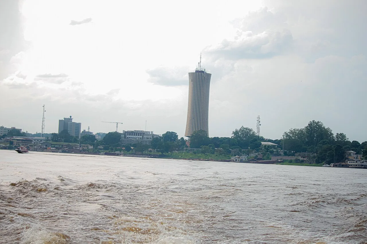
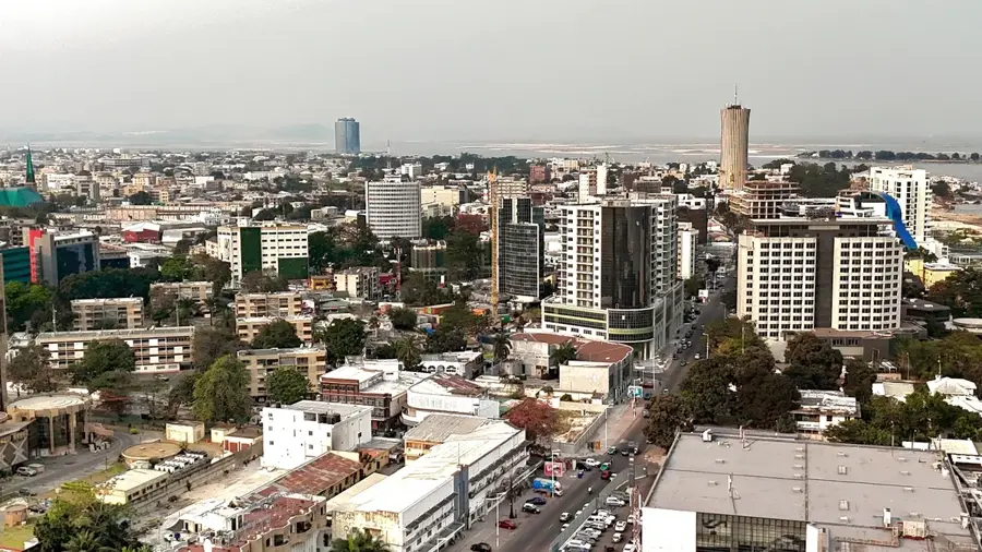
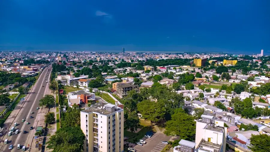
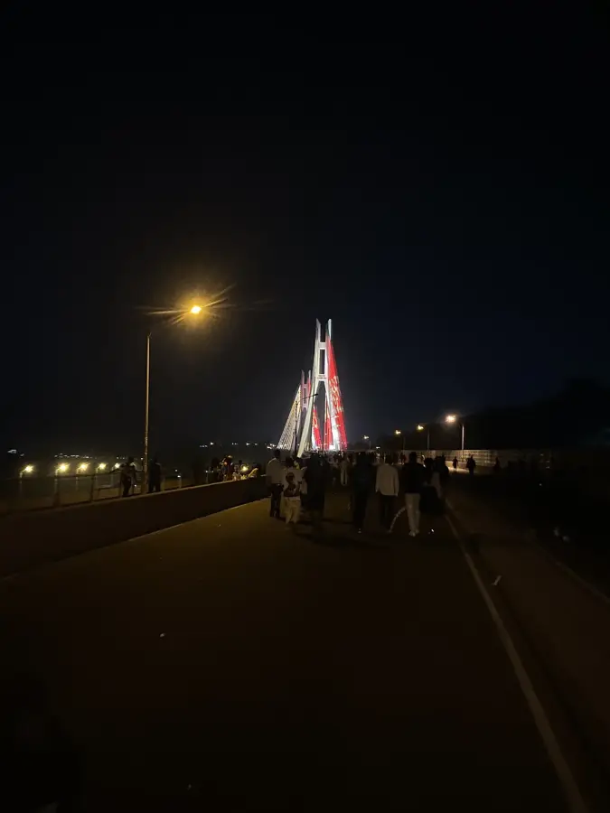
The Independence Bridge, widely known as the Pont du Djoué, is a landmark engineering project in Brazzaville that spans the Djoué River near its confluence with the Congo River. Completed around 1960, the year the Republic of the Congo gained sovereignty, the bridge serves as a powerful symbol of the nation's independence. This reinforced concrete structure provides a critical transport link between central Brazzaville and the southern districts, forming part of the main corridor leading toward Pointe-Noire. At the time of its inauguration, it was considered a major technological achievement for the region's infrastructure. The bridge features vantage points overlooking the Djoué rapids and the surrounding lush vegetation, making it a prominent geographic feature. Historically, it facilitated the southward expansion of the capital beyond its early colonial borders. Despite various periods of political upheaval, the bridge has remained functional through multiple renovations to accommodate increasing vehicle loads. It stands today as a testament to the modernization efforts of the post-colonial era and remains a vital node in the country's national road network.
- Location: Congo - Brazzaville
- Top sights: Mausolée Marien Ngouabi · Mémorial Pierre Savorgnan de Brazza · Centre Culturel Russe
- Nearby: Loufoulakari Falls (45 km)
Best time to visit & climate
The most pleasant time to visit is Jun–Aug.
| Jan | Feb | Mar | Apr | May | Jun | Jul | Aug | Sep | Oct | Nov | Dec | |
|---|---|---|---|---|---|---|---|---|---|---|---|---|
| Avg °C | 25 | 25 | 25 | 25 | 25 | 24 | 24 | 25 | 26 | 25 | 25 | 25 |
| Rain mm | 184 | 186 | 229 | 236 | 155 | 16 | 4 | 21 | 78 | 207 | 317 | 276 |
📋 Practical info
Geography
Facts
- Completed in 1960, coinciding with national independence.
- Crosses the Djoué River just before it joins the Congo River.
- Vital link for the road connecting Brazzaville to the coast.
- A landmark of mid-century reinforced concrete engineering.
- Provides scenic views of the Djoué rapids below the structure.
- Key infrastructure component for the capital's southern expansion.
Explore nearby
Notable places around
Route planner — Car & Motorhome
Where do you start? We build the route here, with stops and country notes along the way.
© OpenStreetMap contributors · OpenRouteService
Sights in the town Independence Bridge (3)
Sights nearby
Frequently asked questions
What does the 15th August 1960 Bridge connect?
When was the bridge built?
Is the bridge illuminated at night?
Can you cross the bridge on foot?
What does the name of the bridge mean?
Independence Bridge: where is it located?
Independence Bridge: what is there to see?
Independence Bridge: when is the best time to visit?
Independence Bridge: why is it worth visiting?

Nearby cities
History & landmarks


More places