Plizio Visual Lab
Caravan Route of Birao
Weather…
Water temperature…
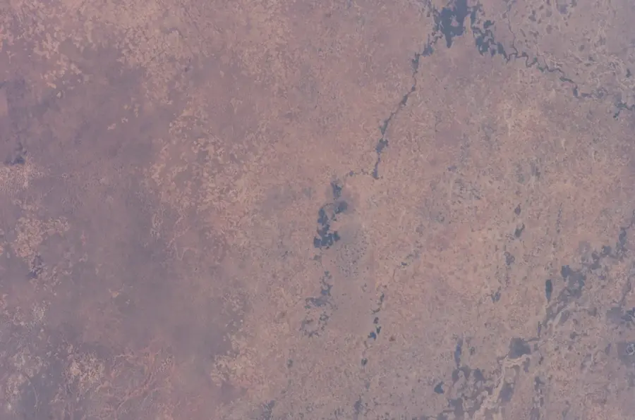
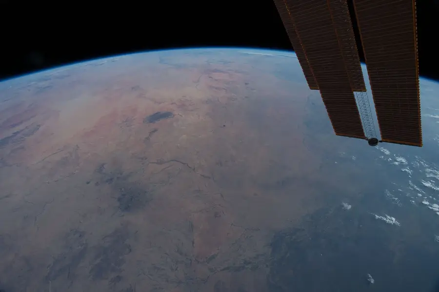
Birao is the northernmost town in the Central African Republic and the capital of the Vakaga prefecture, situated at the historical intersection of ancient caravan routes. For centuries, the town functioned as a crucial hub for traders traveling between Sudan, Chad, and the southern forest regions. These routes were used for transporting livestock, salt, and various luxury goods, shaping the multicultural character of the town. Geographically, Birao is located in a transition zone between the Sudanian savanna and the Sahel, resulting in a unique flora and fauna protected in the nearby Manovo-Gounda St. Floris National Park. The history of Birao is defined by its isolated location, which posed a challenge for administration during the colonial era but simultaneously preserved its independence. The town experienced periods of prosperity through cross-border trade but has also frequently been the site of regional conflicts due to its strategic proximity to the borders. Today, Birao stands as a symbol of cultural exchange in northern Central Africa, home to a diverse population with strong ties to the region's nomadic traditions.
Best time to visit & climate
The most pleasant time to visit is Jan, Nov, Dec.
| Jan | Feb | Mar | Apr | May | Jun | Jul | Aug | Sep | Oct | Nov | Dec | |
|---|---|---|---|---|---|---|---|---|---|---|---|---|
| Avg °C | 26 | 29 | 31 | 33 | 32 | 30 | 27 | 26 | 26 | 27 | 27 | 26 |
| Rain mm | 0 | 0 | 1 | 6 | 36 | 82 | 175 | 180 | 122 | 44 | 1 | 0 |
📋 Practical info
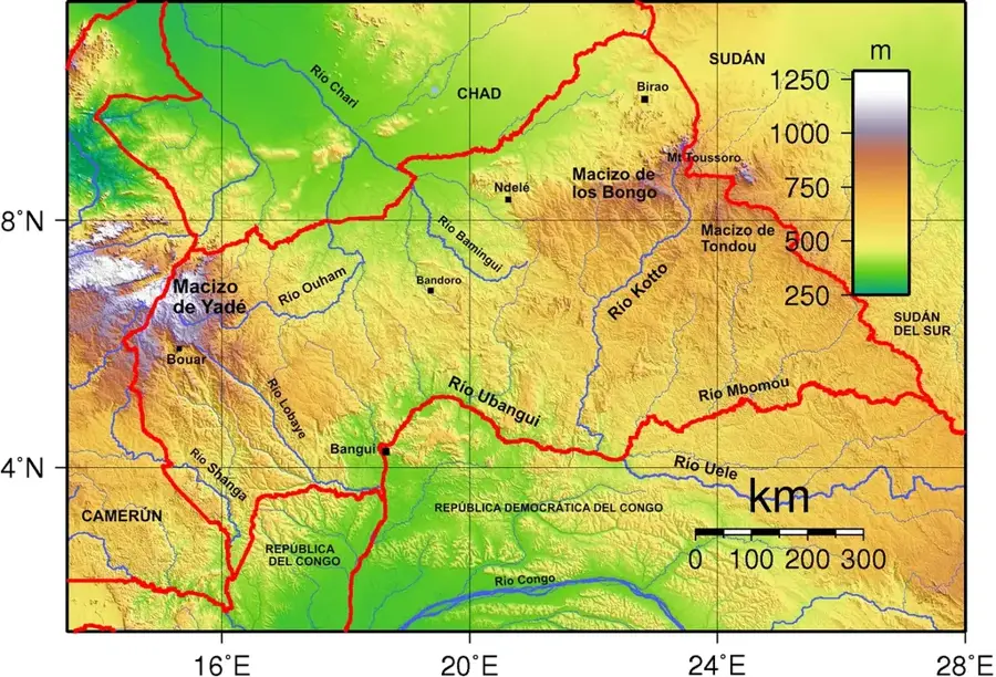
Geography
Facts
- Birao is located approximately 800 kilometers northeast of the capital, Bangui.
- The town is often isolated from the rest of the country by floods during the rainy season.
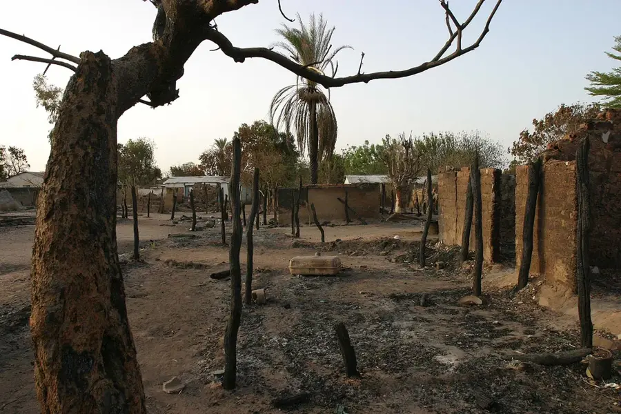
- In 2007, Birao was almost completely destroyed during regional fighting.
- The nearby national park is a designated UNESCO World Heritage site.
- The population primarily consists of the Kara and Gula ethnic groups.
- Birao Airport features a dirt runway approximately 1,800 meters in length.
Explore nearby
Notable places around
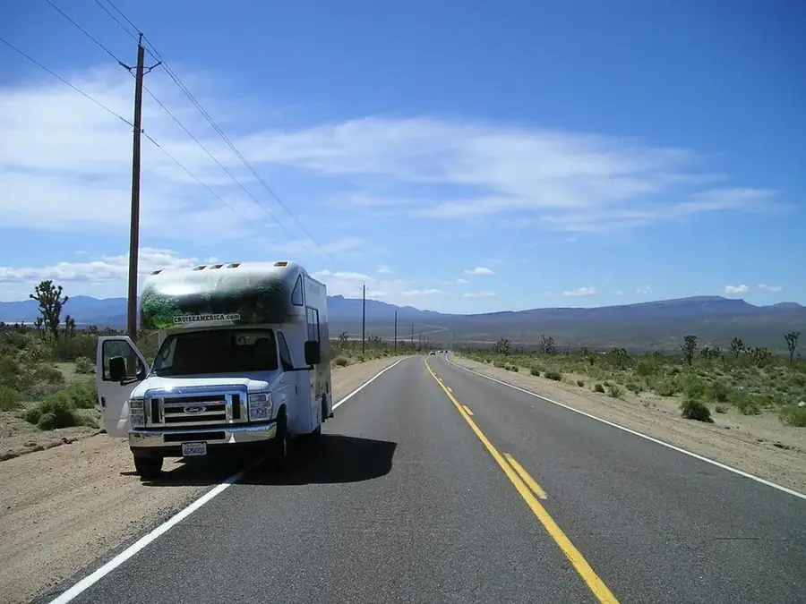
Route planner — Car & Motorhome
Where do you start? We build the route here, with stops and country notes along the way.
© OpenStreetMap contributors · OpenRouteService
Sights in the town Caravan Route of Birao (1)
Sights nearby
Frequently asked questions
What is the caravan route of Birao?
Can the route still be traveled today?
What goods were transported?
Is Birao accessible to tourists?
Are there local markets?
Caravan Route of Birao: where is it located?
Caravan Route of Birao: when is the best time to visit?
Caravan Route of Birao: why is it worth visiting?

Nearby cities
More places