Plizio Visual Lab
Birao Forest

Weather…
Water temperature…
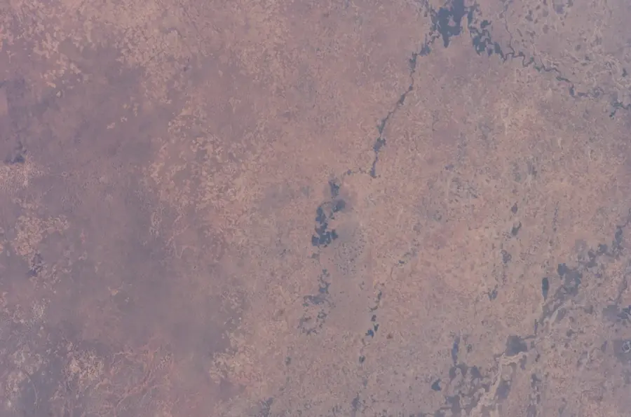
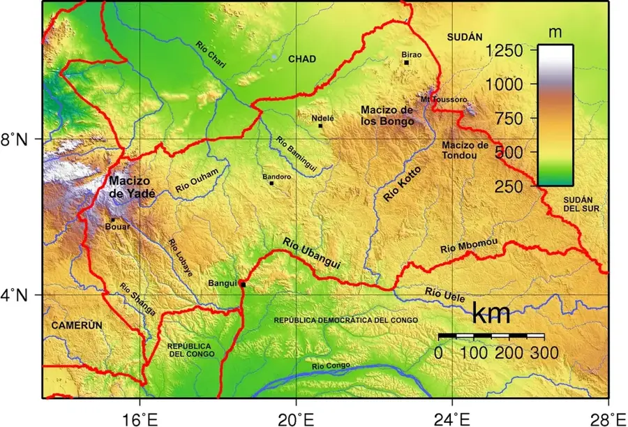
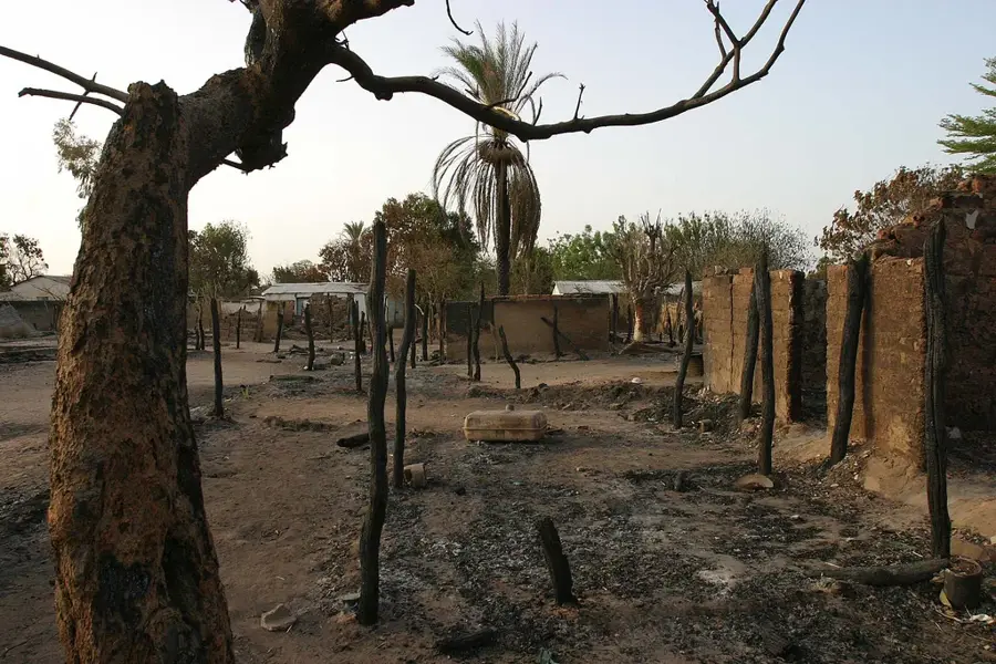
The Birao Forest is located in the extreme northeast of the Central African Republic, within the Vakaga prefecture, near the borders with Chad and Sudan. This forested area is unique for its situation in a semi-arid region, consisting primarily of sparse dry woodlands and extensive gallery forests along seasonal watercourses known as wadis. The vegetation must endure extreme climatic conditions characterized by a prolonged dry season and short, intense periods of rainfall. Geographically, the terrain is flat to gently undulating, with the forest acting as a vital barrier against encroaching desertification from the north. Historically, the Birao region has been a significant meeting point for nomadic communities and traders. The forest provides a habitat for specialized fauna, including various gazelle species and ostriches adapted to arid environments. During the rainy season, the area often transforms into an impassable swampland, which largely protects the forest from human interference. The ecological significance of the Birao Forest lies mainly in its function as a provider of shade and a moisture reservoir in an otherwise barren landscape. Additionally, it serves as an important resource for non-timber forest products for the local population.
- Location: Central African Republic
- Nearby: Birao (9 km)
Best time to visit & climate
The most pleasant time to visit is Jan, Nov, Dec.
| Jan | Feb | Mar | Apr | May | Jun | Jul | Aug | Sep | Oct | Nov | Dec | |
|---|---|---|---|---|---|---|---|---|---|---|---|---|
| Avg °C | 26 | 29 | 32 | 33 | 32 | 29 | 27 | 25 | 26 | 27 | 27 | 26 |
| Rain mm | 0 | 0 | 1 | 8 | 38 | 93 | 188 | 209 | 127 | 42 | 1 | 0 |
📋 Practical info
Geography
Facts
- Located in the semi-arid Vakaga region of the northeast.
- Consists of dry woodlands and gallery forests along seasonal wadis.
- Acts as a crucial protective belt against Saharan desertification.
- Habitat for drought-adapted species such as ostriches.
- The region is often isolated for months during the rainy season.
- Historical junction for trade routes leading into Sudan.
Explore nearby
Notable places around
Route planner — Car & Motorhome
Where do you start? We build the route here, with stops and country notes along the way.
© OpenStreetMap contributors · OpenRouteService
Sights nearby
Frequently asked questions
Is the Birao region safe?
How do you get to Birao?
What characterizes the forest?
Are there restaurants?
What is the climate there?
Birao Forest: where is it located?
Birao Forest: when is the best time to visit?
Birao Forest: why is it worth visiting?

Nearby cities
More places