Plizio Visual Lab
Mont Pana
Weather…
Water temperature…
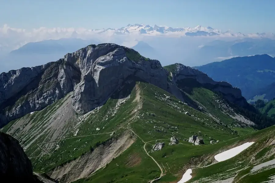
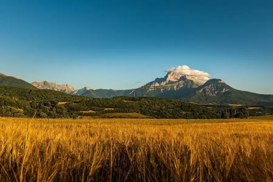
Mont Pana is a significant elevation in northern Central African Republic, rising majestically above the surrounding grassy savanna. As part of the northern extension of the Bongo Massif, it marks a key feature in the regional relief and influences wind patterns across this part of the country. Mont Pana's geographic position is characterized by its transition toward the drier Sahel region, reflected in its resilient vegetation of hardy grasses and thorny shrubs. Historically, the area surrounding the mountain served as a gathering point for nomadic pastoralists who used the landmark for navigation during seasonal migrations. Geologically, Mont Pana is distinguished by its tough quartzite formations that have resisted weathering for millions of years. The mountain also gives panoramic panoramic views over the vast stretches of the African savanna, making it a potential site for future ecotourism. Botanical surveys in the area have identified several endemic plant species that thrive only within its unique microclimatic conditions.
- Location: Central African Republic
- Nearby: Bocaranga (9 km)
Best time to visit & climate
The most pleasant time to visit is Jan, Nov, Dec.
| Jan | Feb | Mar | Apr | May | Jun | Jul | Aug | Sep | Oct | Nov | Dec | |
|---|---|---|---|---|---|---|---|---|---|---|---|---|
| Avg °C | 23 | 26 | 28 | 27 | 25 | 24 | 23 | 22 | 22 | 23 | 23 | 23 |
| Rain mm | 2 | 8 | 49 | 96 | 149 | 181 | 260 | 305 | 283 | 162 | 20 | 1 |
📋 Practical info
Geography
Facts
- Location: In the northern territories of the CAR.
- Range: Part of the northern Bongo Massif foothills.
- Geology: Features prominent and erosion-resistant quartzite.
- Climate: Located in the forest-savanna to Sahel transition zone.
- Flora: Home to several endemic species of the Sudanian savanna.
- Navigation: Historically used by nomads for orientation.
Explore nearby
Notable places around
Route planner — Car & Motorhome
Where do you start? We build the route here, with stops and country notes along the way.
© OpenStreetMap contributors · OpenRouteService
Sights nearby
Frequently asked questions
What is Mont Pana?
How high is it?
Is it part of a range?
Are there springs?
Can you birdwatch there?
Mont Pana: where is it located?
Mont Pana: when is the best time to visit?
Mont Pana: why is it worth visiting?

Nearby cities
More places