Plizio Visual Lab
Kotto River
Weather…
Water temperature…
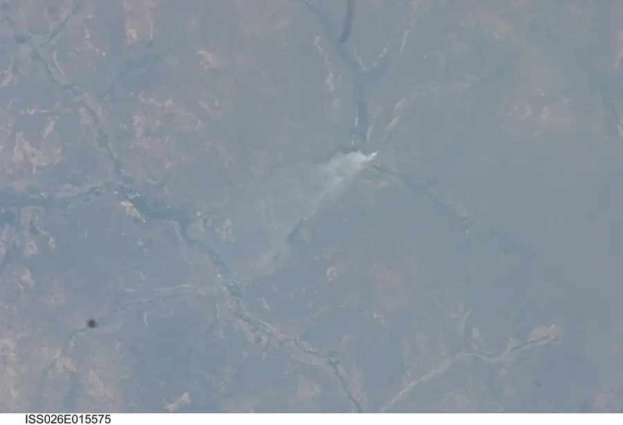
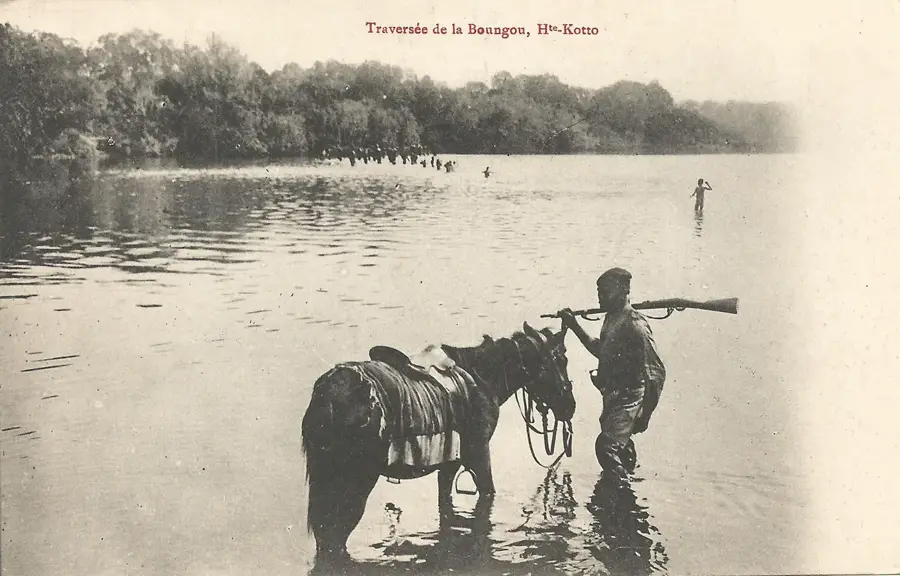
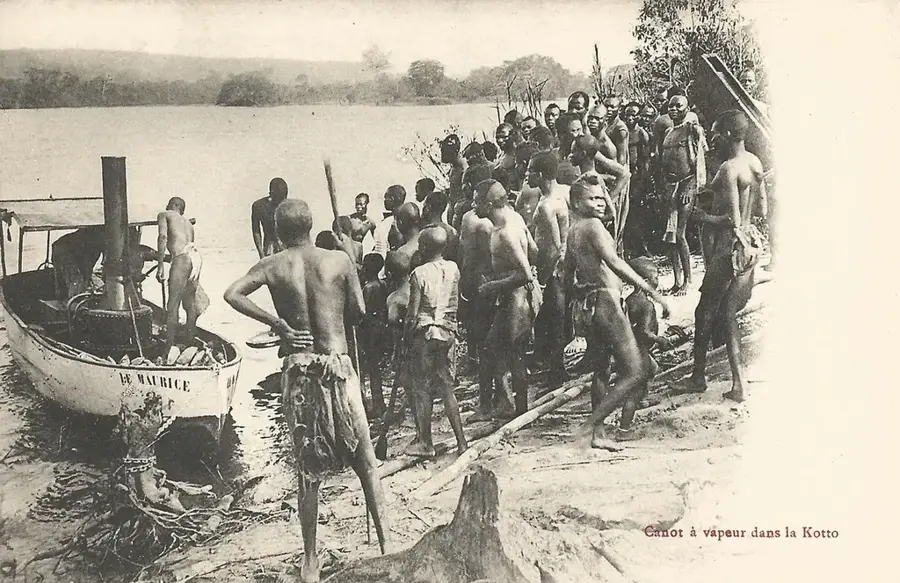
The Kotto River is a prominent geographical feature in the eastern Central African Republic and a major tributary of the Ubangi River. It originates in the Bongo Massif near the border with Sudan and flows southward for over 660 kilometers. The river is famous for the Kembe Falls, a spectacular natural sight where water plunges over massive rock formations. The banks of the Kotto are lined with dense gallery forests that host a rich biodiversity, including numerous primates and rare bird species. Near the city of Bria, the river widens, providing important fishing grounds for the local population. The river's hydrological dynamics are determined by the region's distinct rainy and dry seasons, with the discharge reaching its peak in late summer. As a transport route, the Kotto is only limitedly usable due to numerous rapids, which has helped preserve its pristine nature. It remains a vital resource for agriculture and drinking water supply in the eastern provinces.
- Location: Central African Republic
- Nearby: Bria (5 km)
Best time to visit & climate
The most pleasant time to visit is Jan, Nov, Dec.
| Jan | Feb | Mar | Apr | May | Jun | Jul | Aug | Sep | Oct | Nov | Dec | |
|---|---|---|---|---|---|---|---|---|---|---|---|---|
| Avg °C | 26 | 29 | 28 | 27 | 26 | 25 | 24 | 24 | 24 | 25 | 25 | 25 |
| Rain mm | 3 | 15 | 74 | 125 | 160 | 165 | 189 | 214 | 210 | 203 | 50 | 3 |
📋 Practical info
Geography
Facts
- The total length of the river is approximately 660 kilometers.
- The famous Kembe Falls have a drop height of about 25 meters.
- It empties into the great Ubangi River south of the city of Mobaye.
- The Bongo Massif serves as the river's primary source in the northeast.
- Diamond mining in the river sediment began in the Bria region in 1947.
- The average annual discharge rate is approximately 450 cubic meters per second.
Explore nearby
Notable places around
Route planner — Car & Motorhome
Where do you start? We build the route here, with stops and country notes along the way.
© OpenStreetMap contributors · OpenRouteService
Sights nearby
Frequently asked questions
What is the Kotto highlight?
Are there crocodiles in the river?
Is the Kotto navigable?
Where does it flow into?
Are there rapids?
Kotto River: where is it located?
Kotto River: when is the best time to visit?
Kotto River: why is it worth visiting?

Nearby cities
Nature

More places