Plizio Visual Lab
Kotto Massif
Weather…
Water temperature…
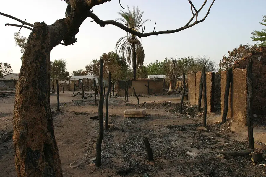
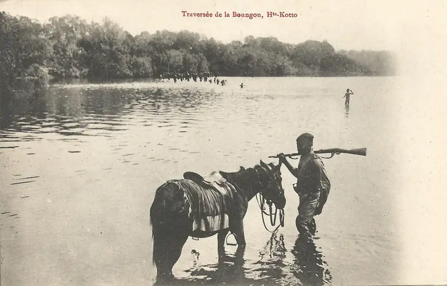
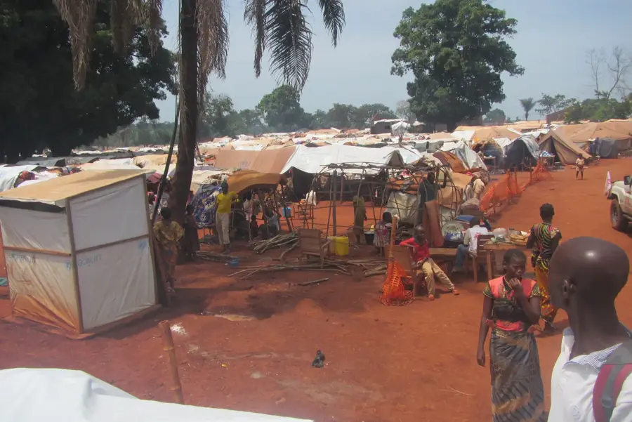
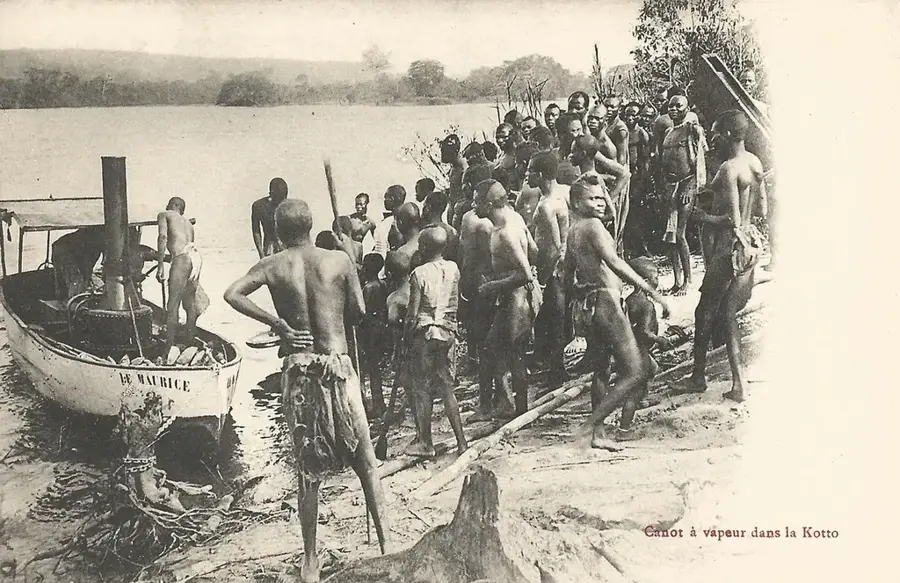
The Kotto Massif is an extensive mountain and highland area in the southern Central African Republic, closely linked to the course of the Kotto River. Geographically, this region is characterized by spectacular granite formations and a multitude of waterfalls, with the Kembé Falls being the most renowned. The massif's relief is the product of tectonic processes and prolonged erosion, which have carved deep gorges and broad plateaus. Botanically, the Kotto Massif hosts a mosaic of dense gallery forests and moist savannas that support immense biodiversity. Historically, the area was a center for trade and agriculture, with the Kotto River serving as the primary transportation route. The massif plays a decisive role in the regional hydrological system, feeding numerous springs that are essential for irrigating the surrounding coffee and cocoa plantations. The geological stability of the massif has contributed to the formation of fertile soils that underpin the local economy. Despite the significant tourism potential offered by its waterfalls, the region remains largely pristine due to challenging infrastructure, thereby aiding the conservation of rare plant and animal species.
- Location: Central African Republic
- Nearby: Ouadda (88 km)
Best time to visit & climate
The most pleasant time to visit is Jan, Nov, Dec.
| Jan | Feb | Mar | Apr | May | Jun | Jul | Aug | Sep | Oct | Nov | Dec | |
|---|---|---|---|---|---|---|---|---|---|---|---|---|
| Avg °C | 25 | 28 | 29 | 28 | 27 | 25 | 24 | 23 | 24 | 24 | 24 | 24 |
| Rain mm | 3 | 10 | 44 | 95 | 176 | 186 | 200 | 225 | 211 | 189 | 29 | 2 |
📋 Practical info
Geography
Facts
- Renowned for the spectacular Kembé Falls on the Kotto River.
- Geologically composed mainly of massive granite formations.
- Key agricultural region for coffee and cocoa due to fertile soils.
- Functions as a hydrographic hub for the southern part of the country.
- Combines gallery forests with a high density of endemic plant species.
- Historically significant transportation route for regional trade.
Explore nearby
Notable places around
Route planner — Car & Motorhome
Where do you start? We build the route here, with stops and country notes along the way.
© OpenStreetMap contributors · OpenRouteService
Sights in the town Kotto Massif (1)
Sights nearby
Frequently asked questions
Are there waterfalls in the massif?
How do you get to the Kotto Massif?
Is swimming allowed in the rivers?
When is the best time to travel?
Are there large mammals there?
Kotto Massif: where is it located?
Kotto Massif: when is the best time to visit?
Kotto Massif: why is it worth visiting?

Nearby cities
Nature


More places