Plizio Visual Lab
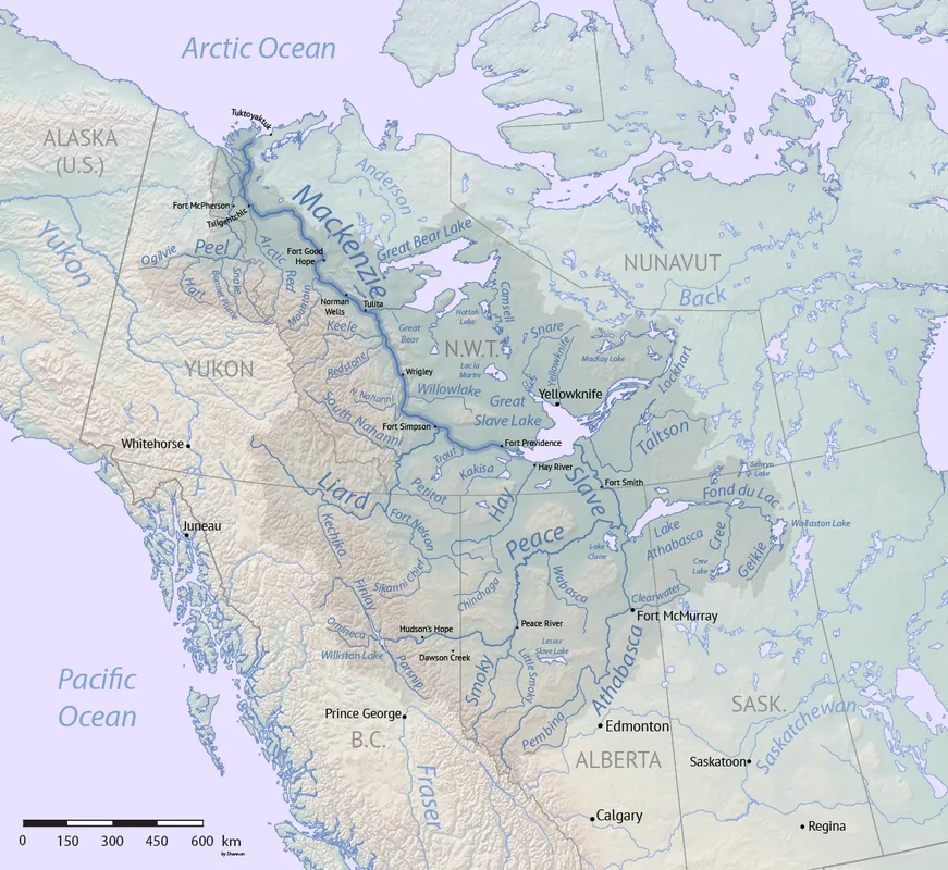
Mackenzie Mountains
Weather…
Water temperature…
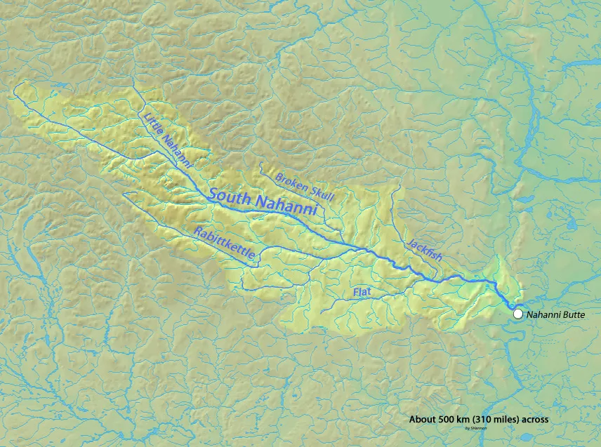
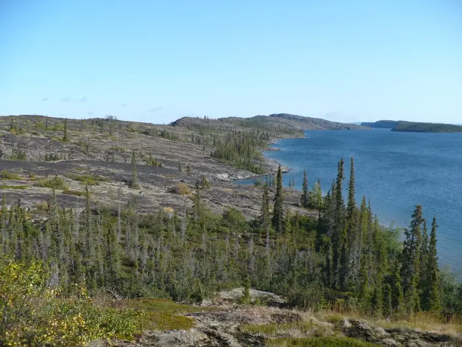
The Mackenzie Mountains are a vast mountain range in northwestern Canada, defining the border between the Yukon Territory and the Northwest Territories. Stretching for approximately 950 kilometers (590 miles), they are an integral part of the northern Cordillera. The highest point in the range is Mount Sir James MacBrien, reaching an elevation of 2,762 meters (9,062 feet), though Mount Keele is also notable for its height. The region is exceptionally remote with virtually no permanent settlements, making it one of the most pristine wilderness areas remaining in North America. Geologically, the mountains consist primarily of sedimentary rock that has been folded and faulted by tectonic activity. Nearby lies the Nahanni National Park Reserve, famous for its dramatic canyons and the massive Virginia Falls. The range provides critical habitat for Dall sheep, mountain caribou, and grizzly bears. The historic Canol Road features the only significant land route through this rugged and difficult-to-access terrain of the Canadian North.
Best time to visit & climate
The most pleasant time to visit is Jun–Aug.
| Jan | Feb | Mar | Apr | May | Jun | Jul | Aug | Sep | Oct | Nov | Dec | |
|---|---|---|---|---|---|---|---|---|---|---|---|---|
| Avg °C | -22 | -20 | -18 | -10 | -1 | 6 | 8 | 6 | 0 | -10 | -19 | -21 |
| Rain mm | 30 | 23 | 25 | 37 | 56 | 122 | 145 | 110 | 67 | 44 | 31 | 29 |
📋 Practical info
Geography
Facts
- The range serves as the boundary between Yukon and Northwest Territories.
- Mount Sir James MacBrien is the highest peak at 2,762 meters.
- The mountains stretch for a total length of 950 kilometers.
- There are no permanent communities located within the mountain range.
- The area contains some of the world's largest deposits of tungsten.
- The southern part of the range is home to Nahanni National Park Reserve.
Route planner — Car & Motorhome
Where do you start? We build the route here, with stops and country notes along the way.
© OpenStreetMap contributors · OpenRouteService
Sights nearby
Frequently asked questions
Where are the Mackenzie Mountains located?
Are the mountains inhabited?
Are there roads into the mountains?
What animals can be found there?
What is the highest point?
Mackenzie Mountains: where is it located?
Mackenzie Mountains: when is the best time to visit?
Mackenzie Mountains: why is it worth visiting?