Plizio Visual Lab
Lower Barneys River

ℹ️Practical info — Lower Barneys River
▾
🌤 Weather — 5 days
📍 Nearby
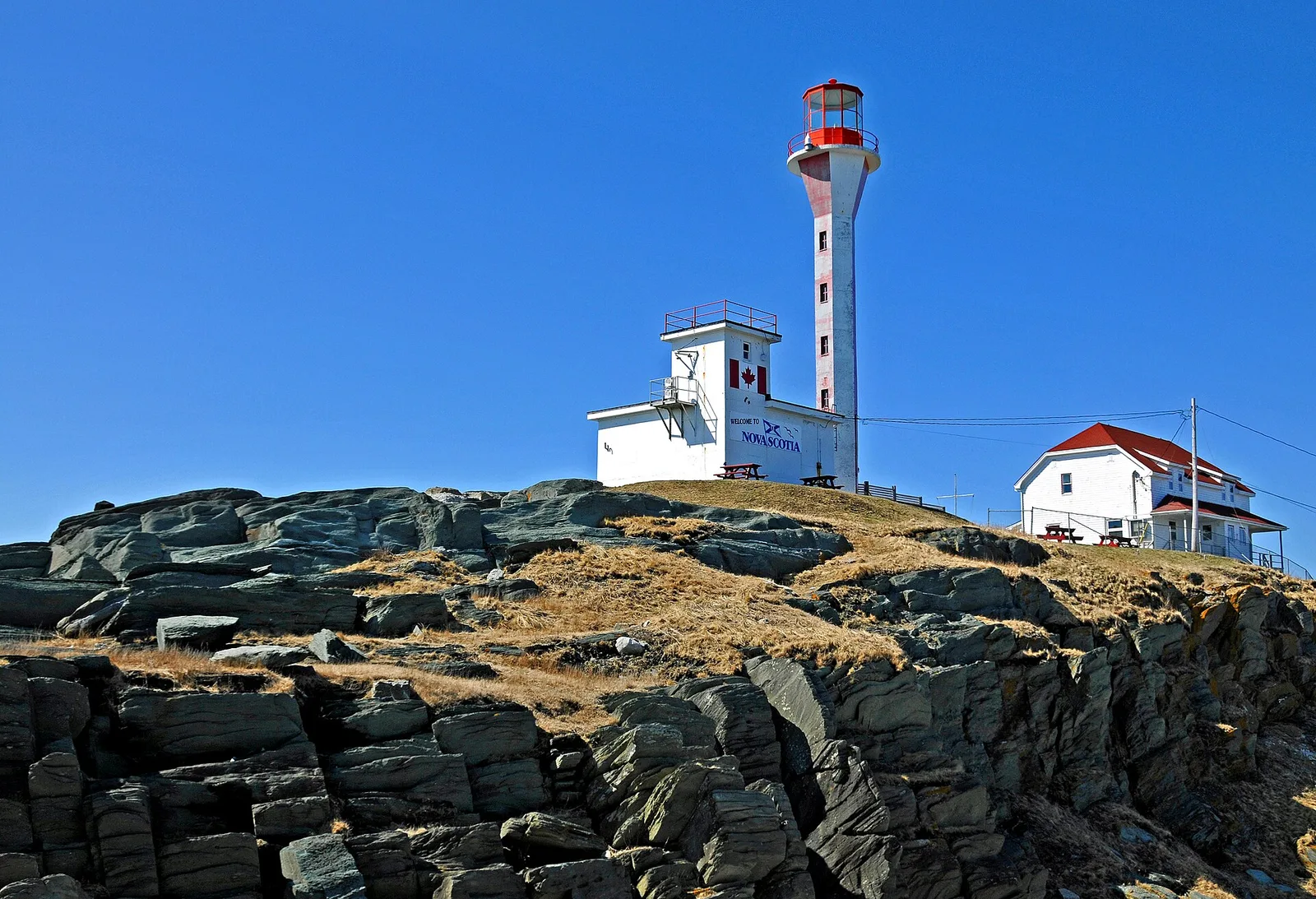
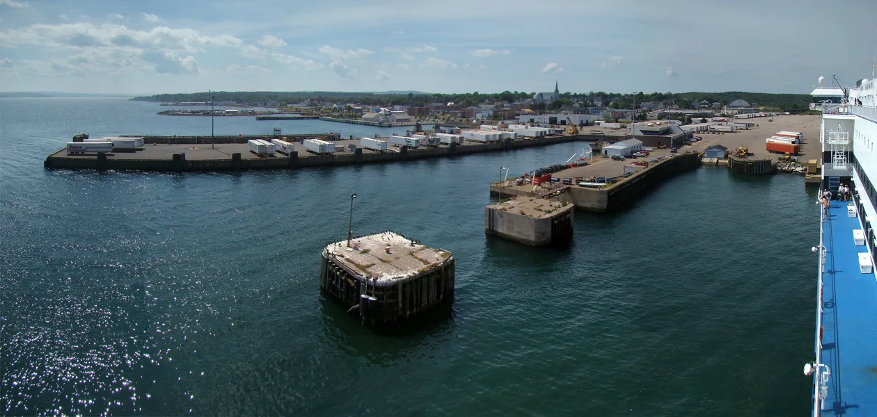
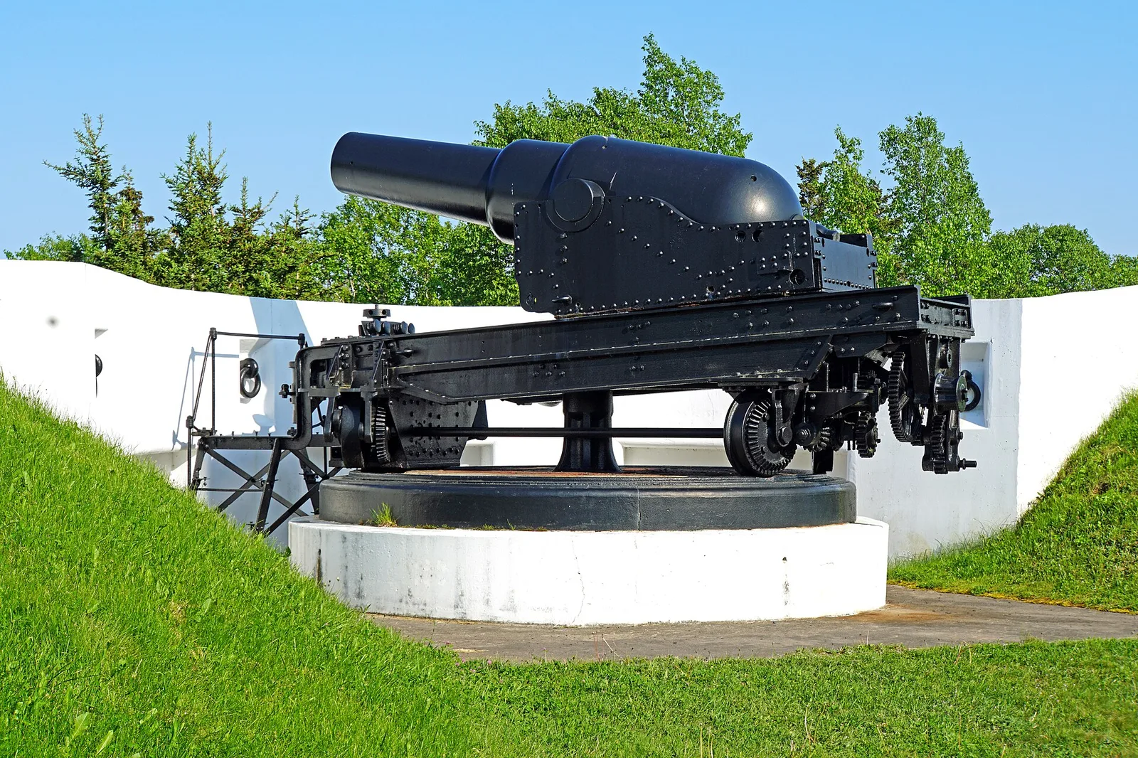
Sights nearby
💡 Tips
- Check local tide tables before walking far out at Big Island Beach.
- The Northumberland Strait has warm waters in late summer, making it well-suited for swimming.
- Stock up on fuel and snacks in larger towns before heading out to this rural area.
- Watch for wildlife crossing the coastal roads at dawn and dusk.
🍽 Food
Grab one from the seasonal seafood shacks along the coastal driving route.
Look for local diners in nearby towns serving this hearty classic made from daily catches.
Available fresh or baked into goods at roadside farm stands throughout the region.
🛍 Shopping · 🧘 Quiet spots
Buy fresh produce and homemade preserves directly along the coastal highway.
Small independent galleries in the surrounding area often sell maritime-themed art.
Expansive and highly uncrowded, making it the first-rate location for a long peaceful walk.
Find a quiet roadside pull-off at sunset for memorable, uninterrupted water views.
Water temperature…
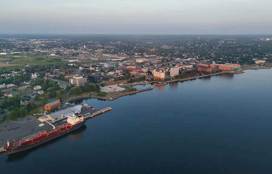
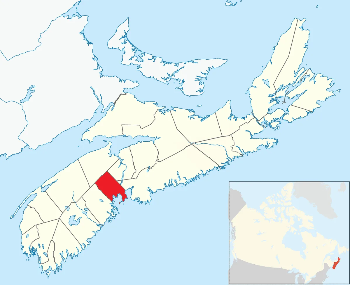
Lower Barneys River is an idyllic destination in Pictou County, Nova Scotia, particularly appealing to nature lovers. The settlement sits at the confluence of Barneys River and the Northumberland Strait, a region famous for having some of the warmest ocean waters north of the Carolinas. The coastline here is gentle and inviting, first-rate for long walks and bird watching. The regional highlight is Big Island Beach, an impressive sand spit that extends far into the ocean. This beach features fine sand and a secluded atmosphere, well away from the tourist crowds. The tides here are moderate, making swimming and kayaking in the protected coves especially safe and enjoyable. Gastronomically, the area is defined by its fishing heritage; fresh lobster and scallops can be purchased directly from the docks in nearby harbors. Access is via the scenic Sunrise Trail, one of the province's most beautiful driving routes. Nearby small-scale farms offer seasonal produce and artisanal goods for those exploring the countryside.
- Location: Canada
- Nearby: Kings Head (20 km)
Best time to visit & climate
The most pleasant time to visit is Jul–Sep.
| Jan | Feb | Mar | Apr | May | Jun | Jul | Aug | Sep | Oct | Nov | Dec | |
|---|---|---|---|---|---|---|---|---|---|---|---|---|
| Avg °C | -6 | -6 | -2 | 3 | 9 | 14 | 19 | 19 | 15 | 9 | 3 | -2 |
| Rain mm | 72 | 69 | 64 | 74 | 70 | 93 | 74 | 86 | 89 | 113 | 105 | 102 |
Geography
Facts
- Located on Northumberland Strait
- Part of Pictou County
- Access to Big Island Beach
- Warm sea water in summer
- Bird watching area
- On the Sunrise Trail
- Rural coastal community
- Near Merigomish
Explore nearby
Notable places around
Route planner — Car & Motorhome
Where do you start? We build the route here, with stops and country notes along the way.
© OpenStreetMap contributors · OpenRouteService
Sights in the town Lower Barneys River (1)
Frequently asked questions
What is the main attraction here?
Is fishing possible there?
Are there restaurants nearby?
How is the weather in summer?
Is the area suitable for hiking?
Lower Barneys River: where is it located?
Lower Barneys River: when is the best time to visit?
Lower Barneys River: why is it worth visiting?

Nearby cities