Plizio Visual Lab
Lorneville
ℹ️Practical info — Lorneville
▾
🌤 Weather — 5 days
📍 Nearby
Sights nearby
💡 Tips
- Check local tide charts: The Bay of Fundy tides are immense; seeing both high and low tide gives two completely different landscapes.
- Dress in layers: Coastal weather changes quickly, and sea breezes can be chilly even in the summer months.
- Drive carefully at night: Wildlife, especially moose and deer, are frequently seen on the rural roads around the area.
- Seafood timing: If you want to buy fresh lobster, look for local fishermen at the wharves in the early morning.
🍽 Food
Best sourced directly from the local wharves or nearby seafood shacks during the fishing season.
Try them pan-seared at local coastal eateries; the Bay of Fundy scallops are famous for their size and sweetness.
A hearty bowl of local seafood soup is first-rate after a windy walk on the coast.
🛍 Shopping · 🧘 Quiet spots
Look for wild blueberry products at roadside stands or nearby farmers markets.
Small regional workshops offer driftwood art and maritime-themed souvenirs.
A rugged coastal spot great for observing the dramatic tidal shifts in peace.
A nearby protected area offering tranquil hiking trails and great bird watching opportunities.
Water temperature…
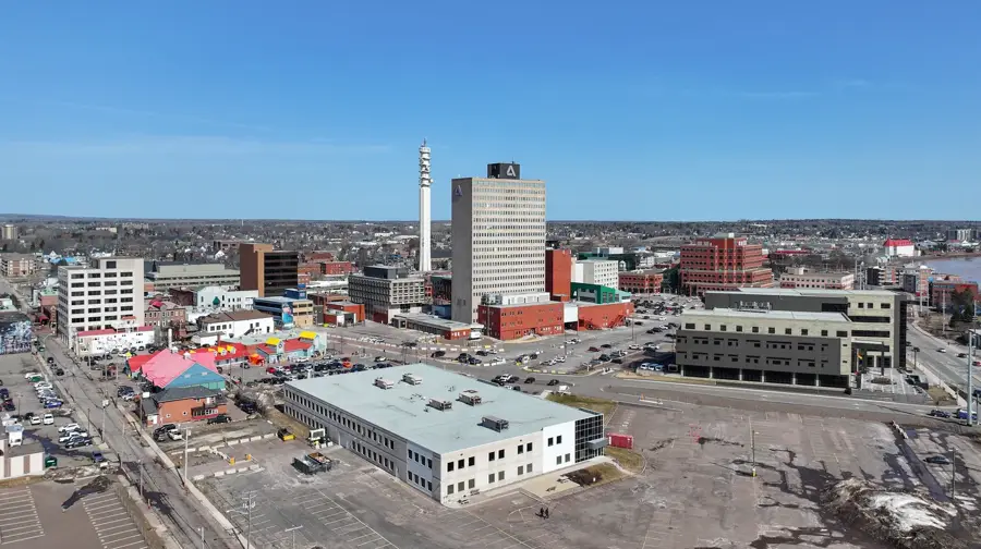
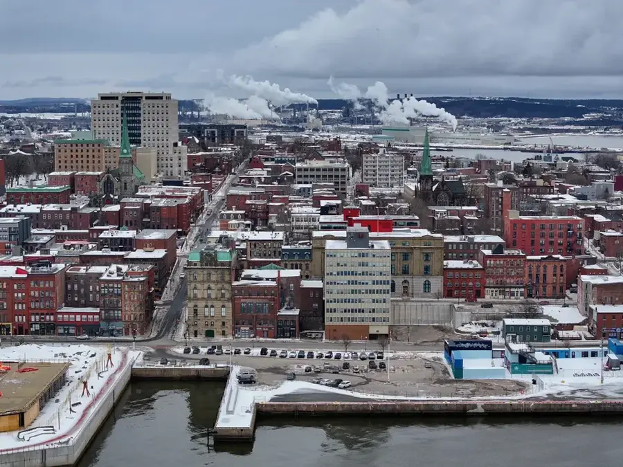
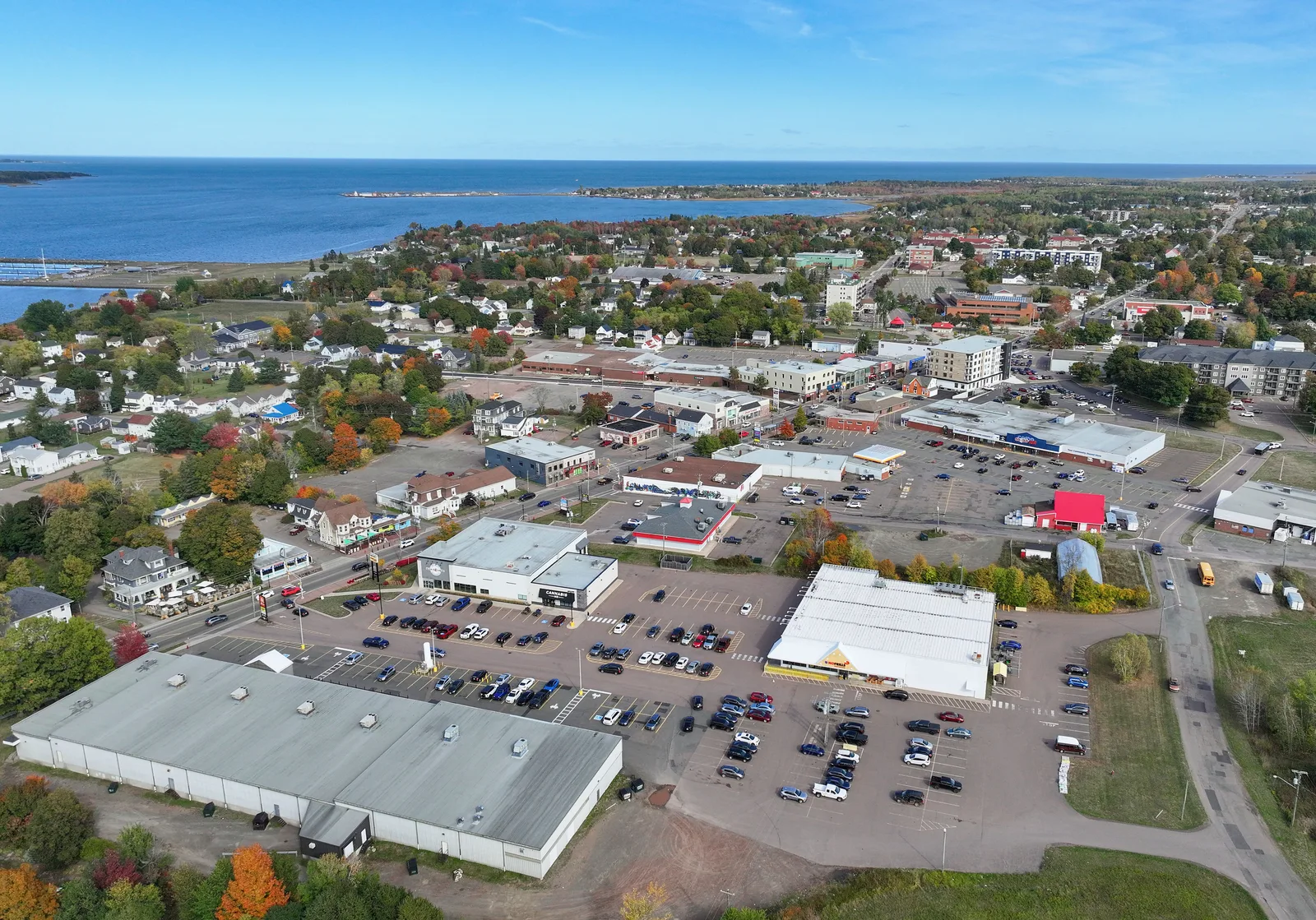
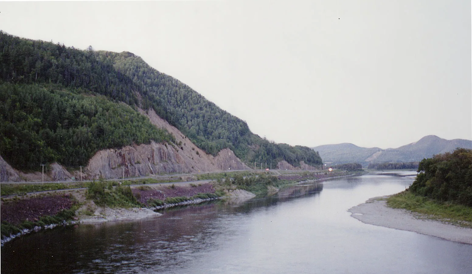
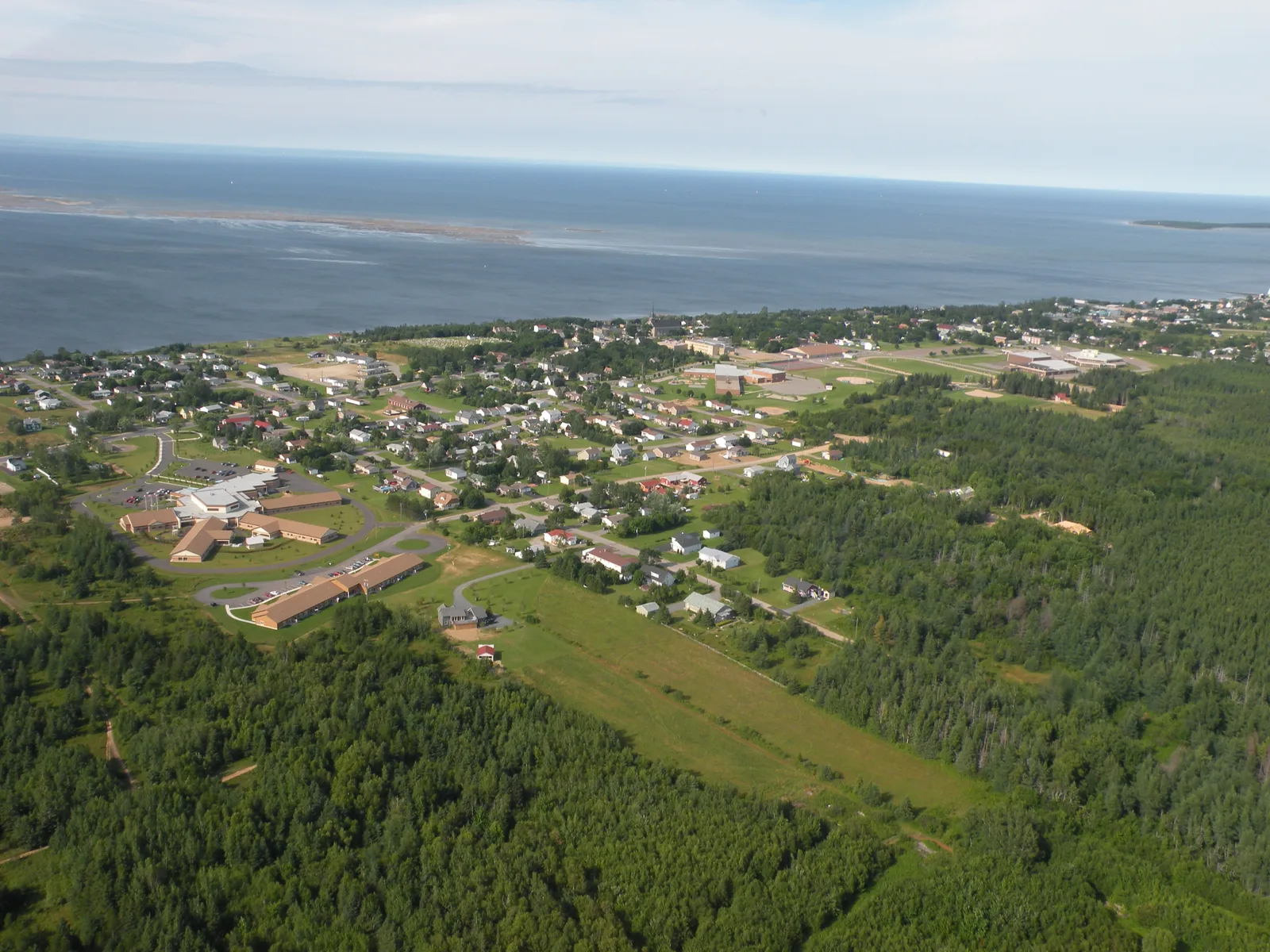
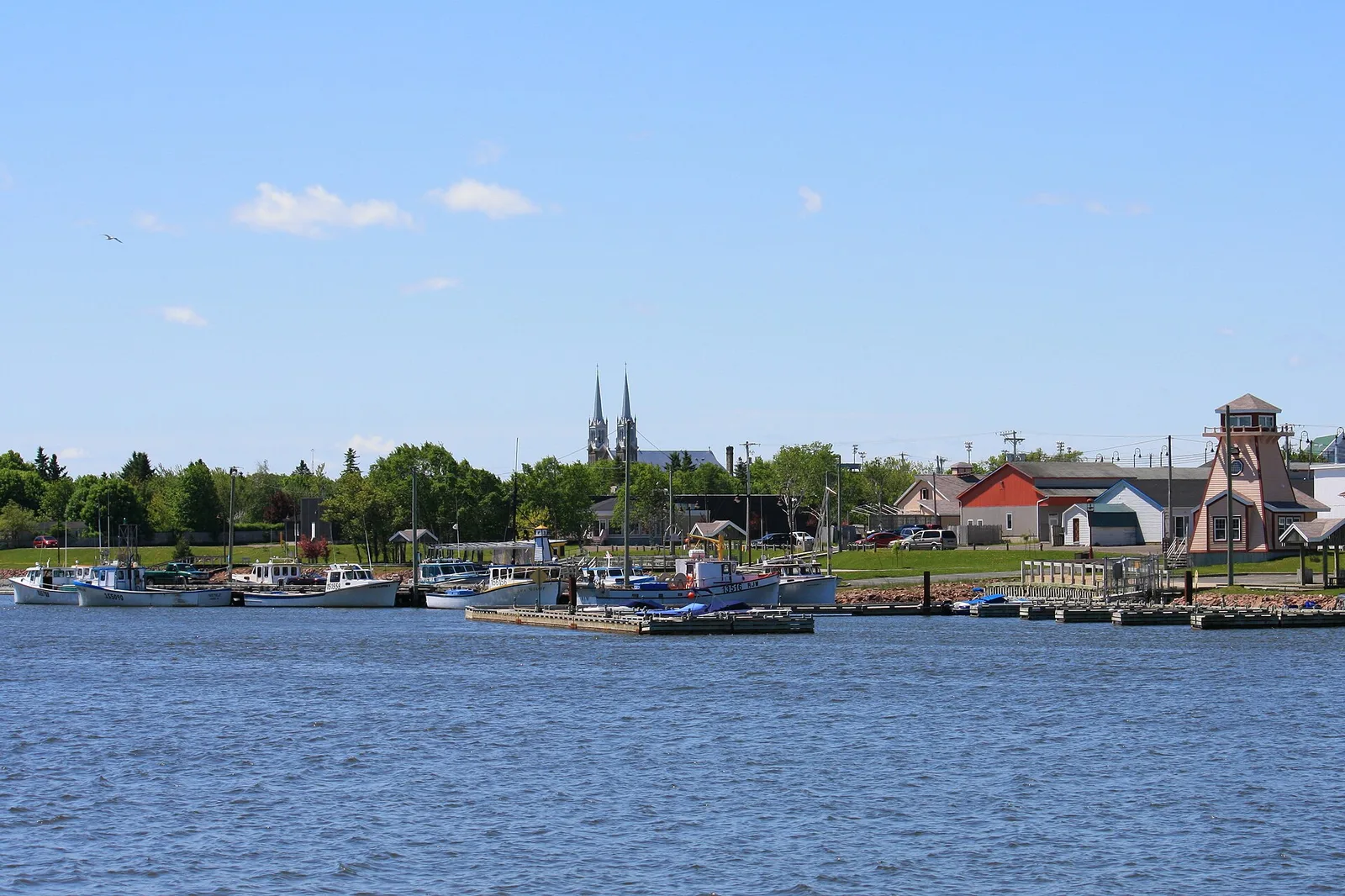
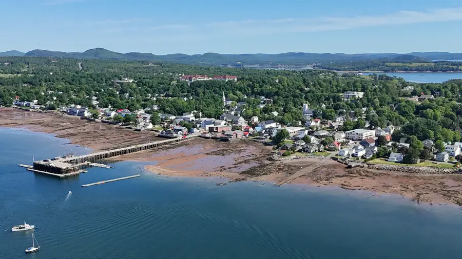
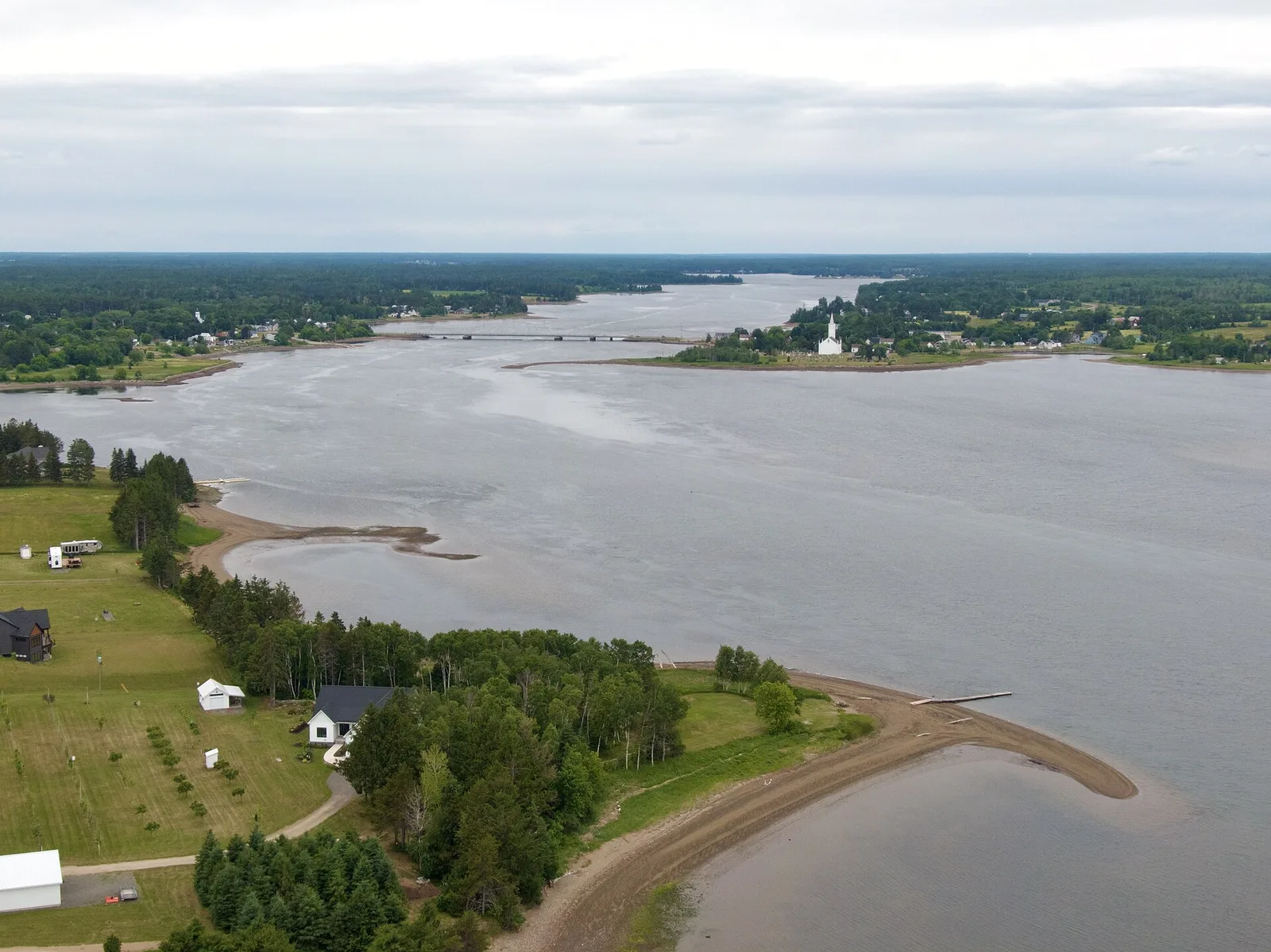
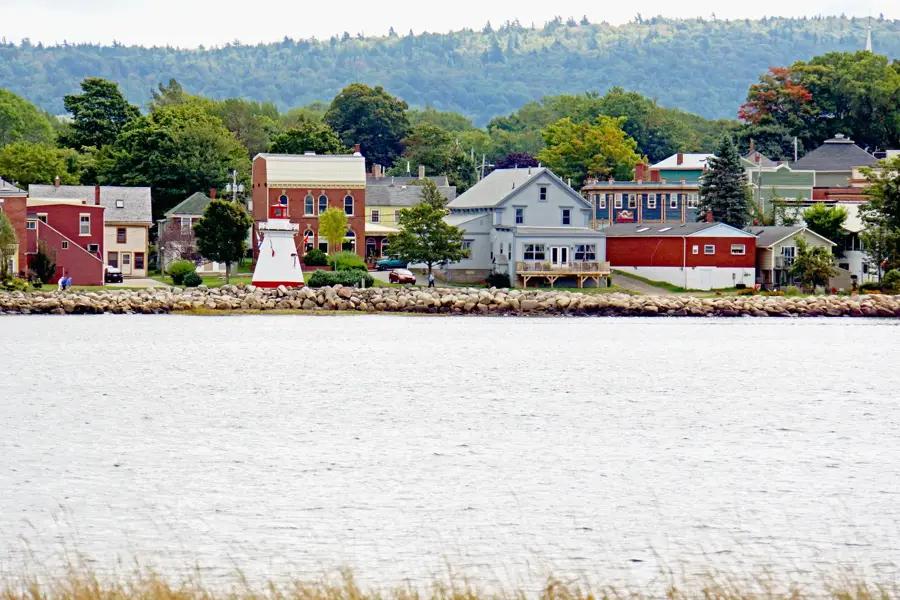
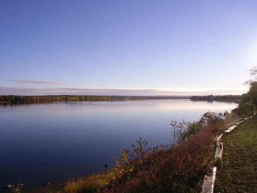
Lorneville is a ruggedly beautiful coastal community located just west of Saint John, New Brunswick, on the shores of the Bay of Fundy. The area is defined by the world's highest tides, which dramatically alter the landscape every few hours. One of its most striking features is Black Beach, named for its unusual dark sands created by local graphite deposits. Nearby, Saints Rest Beach gives expansive shoreline views and is a premier location for birdwatching within the Irving Nature Park ecosystem. The coastline around Lorneville is characterized by jagged cliffs and hidden gems like Cheeseman Beach and Butler's Creek Beach, well-suited for beachcombing during low tide. The community is adjacent to the Musquash Estuary Marine Protected Area, preserving a vital and pristine wilderness. Visitors are drawn to Lorneville for its scenic hiking trails that wind through boreal forests to memorable ocean lookouts. Fishing remains a part of the local way of life, with small boats still operating from nearby coves. Accessible via Route 1, Lorneville has a peaceful and wild Atlantic Canadian experience for nature lovers and adventurers.
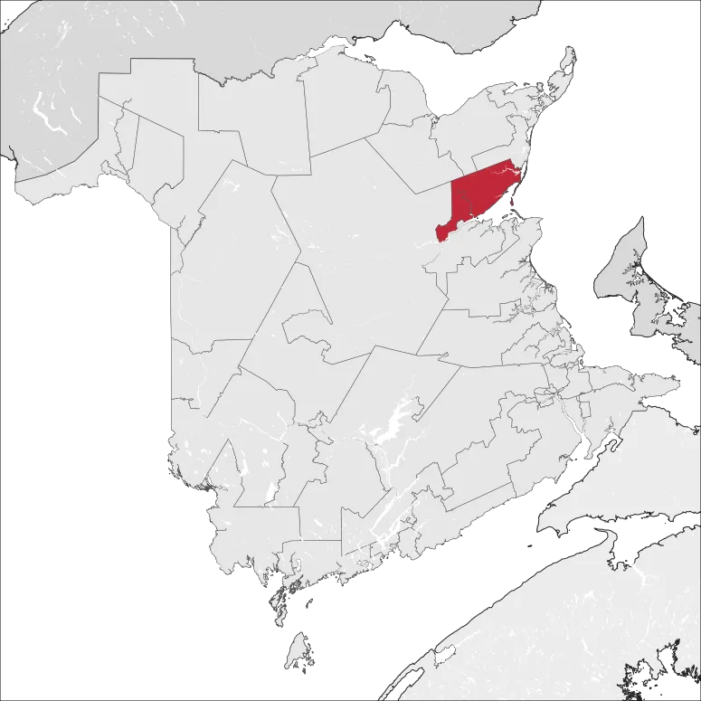
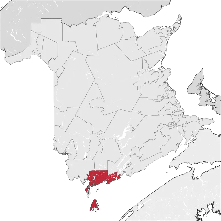
- Location: Canada
- Nearby: Ketepec (4 km)
- Population: ~800 (2026)
Geography
Facts
- World's highest tides
- Rare black sand beach
- Part of Musquash Estuary
- Near Irving Nature Park
- Traditional fishing village
- Cliff-side hiking trails
- Birdwatching hotspot
- Atlantic wilderness
Explore nearby
Notable places around
Route planner — Car & Motorhome
Where do you start? We build the route here, with stops and country notes along the way.
© OpenStreetMap contributors · OpenRouteService
Sights in the town Lorneville (1)
Frequently asked questions
What characterizes the coast of Lorneville?
Is Lorneville a good place for hiking?
How far is Lorneville from Saint John?
Should I expect fog in Lorneville?
Are there tourist services in the town?
Lorneville: where is it located?
Lorneville: why is it worth visiting?

Nearby cities