Plizio Visual Lab
Ouahigouya Depression
Weather…
Water temperature…
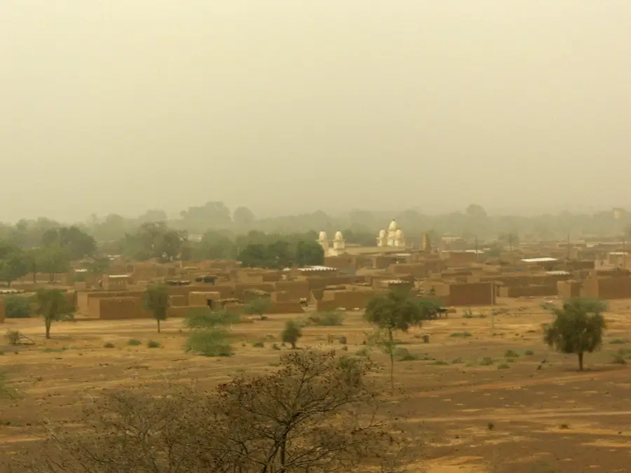
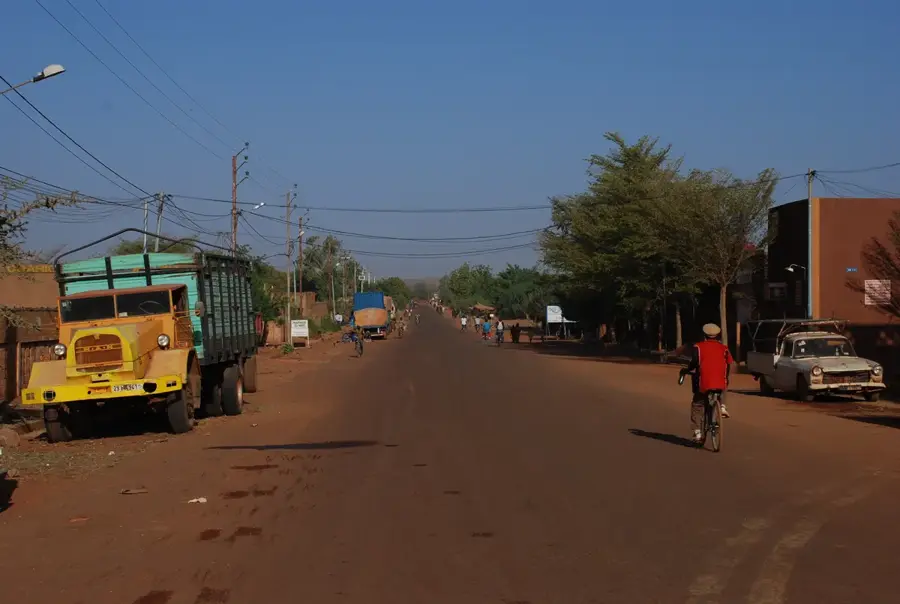
The Ouahigouya Depression is a low-lying area in northwestern Burkina Faso, part of the larger Volta Basin. It is characterized by a flat to gently undulating terrain with elevations ranging from 250 to 350 meters. The depression was formed by tectonic subsidence during the Cenozoic era and is underlain by sedimentary rocks. The region's economy is predominantly agricultural, with millet, sorghum, and cotton as main crops. The city of Ouahigouya, with approximately 80,000 inhabitants, serves as the administrative and commercial hub. The depression experiences a Sahelian climate with annual rainfall between 500 and 700 mm. Water scarcity is a recurring issue, mitigated by small reservoirs and dams. The area supports a population density of about 25 persons per km².
- Location: Burkina Faso
- Nearby: Gourcy (42 km)
Best time to visit & climate
The most pleasant time to visit is Jan, Nov, Dec.
| Jan | Feb | Mar | Apr | May | Jun | Jul | Aug | Sep | Oct | Nov | Dec | |
|---|---|---|---|---|---|---|---|---|---|---|---|---|
| Avg °C | 23 | 27 | 30 | 33 | 34 | 31 | 28 | 26 | 27 | 28 | 26 | 24 |
| Rain mm | 1 | 0 | 1 | 10 | 33 | 100 | 184 | 251 | 128 | 30 | 1 | 0 |
📋 Practical info
Geography
Facts
- The Ouahigouya Depression covers about 4,000 km².
- Average elevation is 300 meters above sea level.
- Ouahigouya city has a population of 80,000.
- Annual rainfall is 500-700 mm.
- Population density is around 25 persons per km².
- The Ouahigouya dam has a storage capacity of 10 million m³.
Explore nearby
Notable places around
Route planner — Car & Motorhome
Where do you start? We build the route here, with stops and country notes along the way.
© OpenStreetMap contributors · OpenRouteService
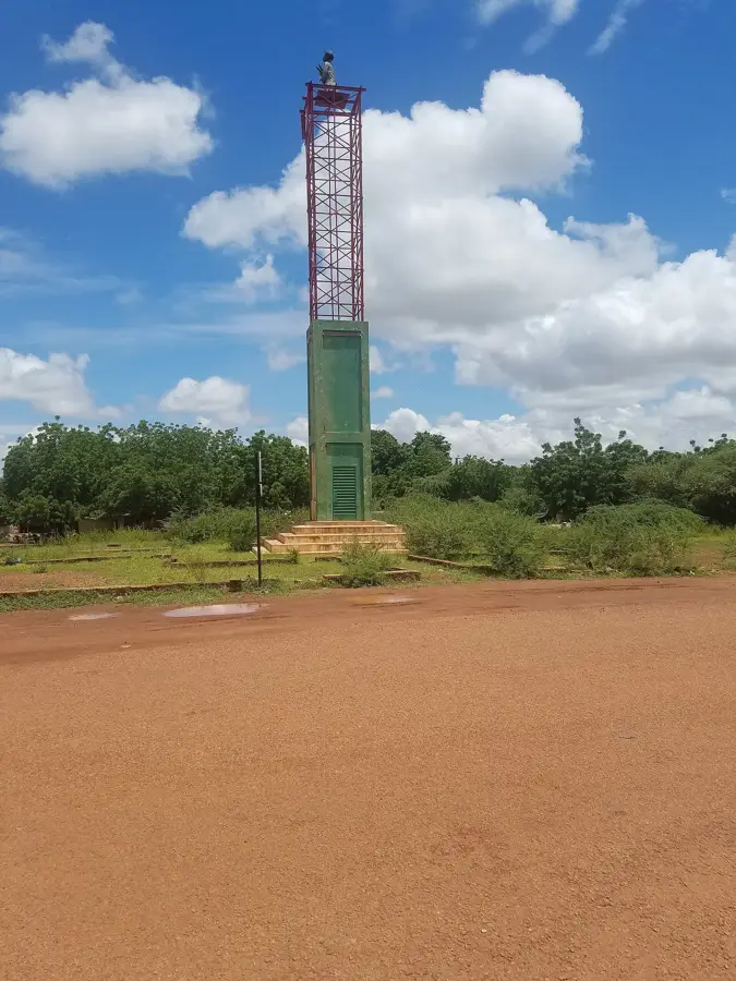
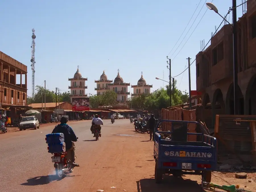
Sights in the town Ouahigouya Depression (1)
Sights nearby
Frequently asked questions
What is the landscape like?
What is the Ouahigouya depression?
Are there historical sites there?
Is it windy there?
Which plants survive here?
Ouahigouya Depression: where is it located?
Ouahigouya Depression: when is the best time to visit?
Ouahigouya Depression: why is it worth visiting?

Nearby cities