Plizio Visual Lab
Dédougou Plain
Weather…
Water temperature…
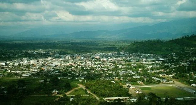
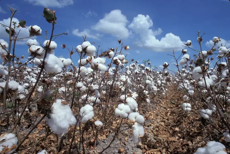
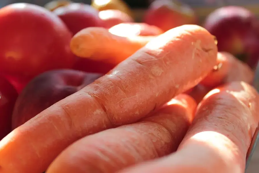
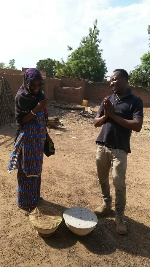
The Dédougou Plain is situated in western Burkina Faso and is primarily defined by the basin of the Mouhoun River, formerly known as the Black Volta. This region sits at an average elevation of approximately 250 to 300 meters above sea level, featuring a gently undulating relief characterized by broad valleys. Geologically, the area is marked by fertile alluvial soils deposited over millennia by the seasonal flooding of the river system. Due to its favorable soil composition and water availability, the plain is recognized as the most significant cotton-producing zone in the country, earning it a reputation as a regional agricultural hub. Historically, the plain served as a central settlement area for the Bwa and Marka ethnic groups, who developed sophisticated farming practices. Annual rainfall in the region ranges from 800 to 1000 mm, supporting dense savanna vegetation and diverse crop cultivation.
- Location: Burkina Faso
- Top sights: Dédougou · Diocese of Dédougou · Mouhoun Province
- Nearby: Nouna (53 km)
Best time to visit & climate
The most pleasant time to visit is Jan, Nov, Dec.
| Jan | Feb | Mar | Apr | May | Jun | Jul | Aug | Sep | Oct | Nov | Dec | |
|---|---|---|---|---|---|---|---|---|---|---|---|---|
| Avg °C | 25 | 28 | 31 | 33 | 33 | 30 | 28 | 26 | 26 | 27 | 26 | 25 |
| Rain mm | 1 | 1 | 4 | 28 | 62 | 114 | 198 | 270 | 154 | 45 | 2 | 0 |
📋 Practical info
Geography
Facts
- The plain maintains an average elevation of 270 meters above sea level.
- The Mouhoun River serves as the primary hydrological artery of the plain.
- Annual rainfall levels fluctuate between 800 and 1000 mm.
- The area is the leading producer of cotton for Burkina Faso's economy.
- The geology is dominated by fertile sedimentary and alluvial deposits.
- The region is historically inhabited by the Bwa and Marka peoples.
Explore nearby
Notable places around
Route planner — Car & Motorhome
Where do you start? We build the route here, with stops and country notes along the way.
© OpenStreetMap contributors · OpenRouteService
Sights in the town Dédougou Plain (3)
Sights nearby
Frequently asked questions
Where is the Dédougou plain located?
What is grown in this region?
Is the plain prone to flooding?
How do you reach Dédougou?
Are there cultural highlights?
Dédougou Plain: where is it located?
Dédougou Plain: what is there to see?
Dédougou Plain: when is the best time to visit?
Dédougou Plain: why is it worth visiting?

Nearby cities
More places