Plizio Visual Lab
Kourou Lake
Weather…
Water temperature…
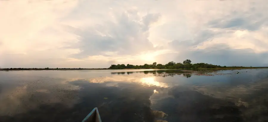
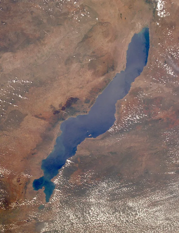
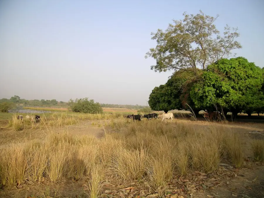
Mare de Kourou is an artificial reservoir in the Sahel region of northern Burkina Faso, originally designed in the 1990s to secure regional water supplies. With an area of approximately 10 square kilometers and a maximum depth of 8 meters, it represents one of the few year-round water surfaces in this extremely arid region. The lake is fed by the seasonal Kourou River, whose inflow, however, depends heavily on the duration and intensity of the annual rainy season. Ecologically, Mare de Kourou has evolved into an important refuge for numerous waterbirds and small mammals finding protection here from advancing desertification. The lake enables surrounding villages not only to grow vegetables through irrigation but also supports productive fishing, contributing significantly to the population's protein supply. However, water quality is threatened by high evaporation rates of up to 2,500 millimeters per year and increasing siltation. In recent years, measures have been taken to stabilize the shorelines through planting and to extend the reservoir's lifespan. Today, Mare de Kourou is a central point for both sedentary and nomadic populations.
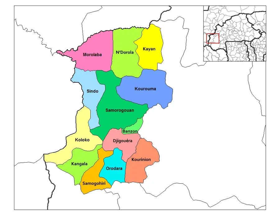
- Location: Burkina Faso
- Nearby: Bama (12 km)
Best time to visit & climate
The most pleasant time to visit is Jan, Nov, Dec.
| Jan | Feb | Mar | Apr | May | Jun | Jul | Aug | Sep | Oct | Nov | Dec | |
|---|---|---|---|---|---|---|---|---|---|---|---|---|
| Avg °C | 25 | 28 | 31 | 32 | 31 | 29 | 26 | 25 | 26 | 27 | 26 | 24 |
| Rain mm | 1 | 3 | 10 | 45 | 88 | 131 | 208 | 265 | 180 | 60 | 4 | 0 |
📋 Practical info
Geography
Facts
- Area: approx. 10 km² (3.9 sq miles) in the Sahel region
- Maximum depth: 8 meters (26 feet)
- Storage capacity: approx. 25 million m³
- Purpose: Drinking water and irrigation for agriculture
- Fisheries: Yields about 50 tons of fish annually
- Climate: Evaporation rate reaches 2,500 mm (98 inches) per year
Explore nearby
Notable places around
Route planner — Car & Motorhome
Where do you start? We build the route here, with stops and country notes along the way.
© OpenStreetMap contributors · OpenRouteService
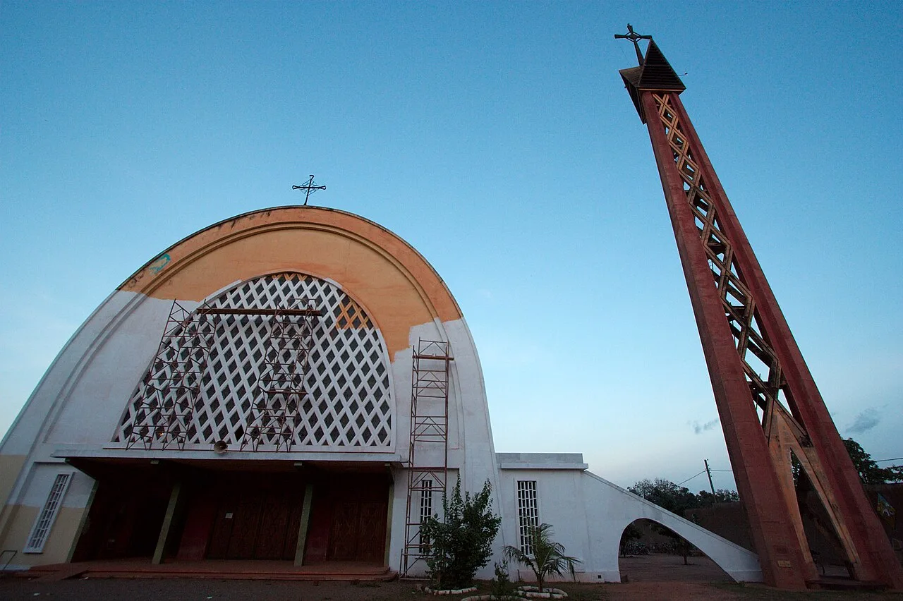
Sights nearby
Frequently asked questions
Is there catering at the lake?
Can you fish at the lake?
Are pets allowed?
How deep is the lake?
Is there parking?
Kourou Lake: where is it located?
Kourou Lake: when is the best time to visit?
Kourou Lake: why is it worth visiting?

Nearby cities
Nature
More places