Plizio Visual Lab
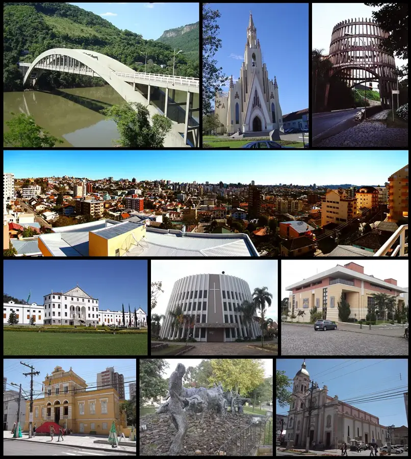
Cambara do Sul
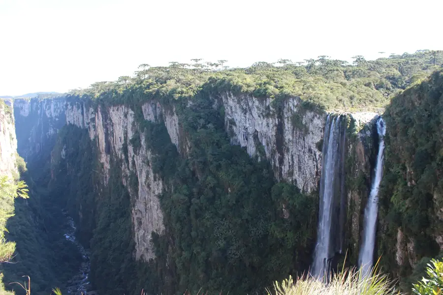
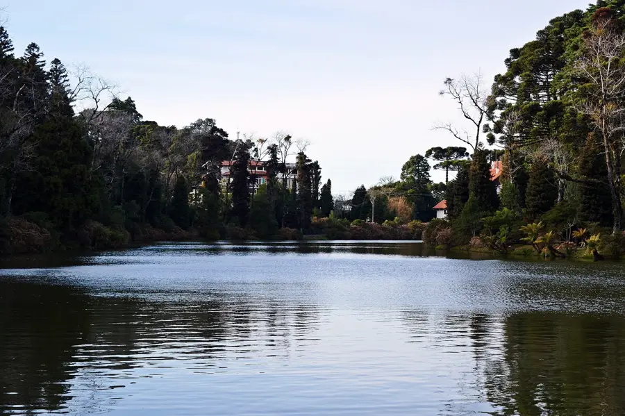
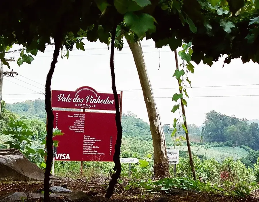
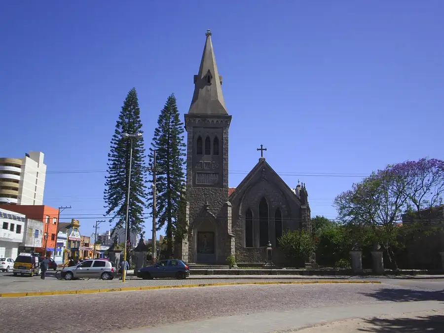
Cambará do Sul is a small, rustic town in Rio Grande do Sul that serves as the primary entry point to the largest canyon complex in South America. Situated on the edge of a high plateau, the terrain drops abruptly into dramatic, vertical cliffs. The Aparados da Serra and Serra Geral National Parks are the main draws for nature enthusiasts and hikers. The most famous geological formations are the Itaimbezinho Canyon, known for its sheer walls and waterfalls, and the Fortaleza Canyon, which provides expansive views reaching down to the coastal plains. The region provides excellent terrain for hiking, horseback riding, and 4x4 off-road tours. The climate is notoriously foggy, with visibility changing rapidly. Gastronomy in Cambará do Sul highlights the traditional tropeiro (cowboy) culture, featuring dishes made with pinhão (Araucaria pine seeds), slow-cooked meats, and local cheeses. Accessible via road from Porto Alegre or the coastal BR-101 highway, the best visibility for viewing the canyons is typically during the colder, drier winter months from June to August, when warm clothing is essential.
- Location: Brazil
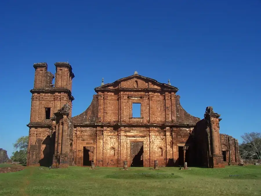
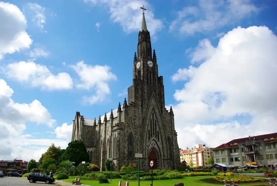
- Top sights: Cachoeira do Tio França · Museu Municipal Irmã Tarcilia M. Afonso · Pórtico Cambará do Sul
- Population: ~6.361 (2025)
Geography
Facts
- Gateway to the Aparados da Serra and Serra Geral parks.
- The massive Itaimbezinho Canyon is located nearby.
- The canyon cliffs drop over 700 meters deep.
- The region is known for its native Araucaria forests.
- Pinhão (pine seeds) is a local culinary specialty.
- The climate is frequently characterized by dense fog.
- Established as a municipality in 1963.
- The Fortaleza Canyon offers expansive panoramic views.
Explore nearby
Notable places around
Route planner — Car & Motorhome
Where do you start? We build the route here, with stops and country notes along the way.
© OpenStreetMap contributors · OpenRouteService
Sights in the town Cambara do Sul (4)
Frequently asked questions
Cambara do Sul: where is it located?
Cambara do Sul: what is there to see?
Cambara do Sul: why is it worth visiting?

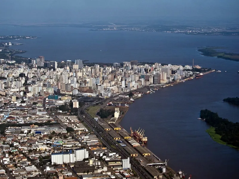
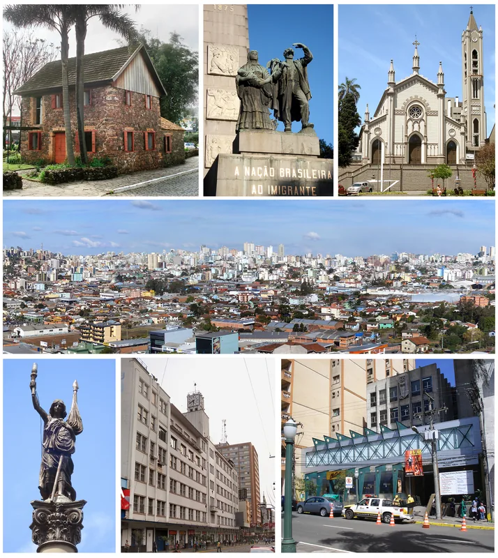
Nearby cities
History & landmarks
Nature
More places