Plizio Visual Lab
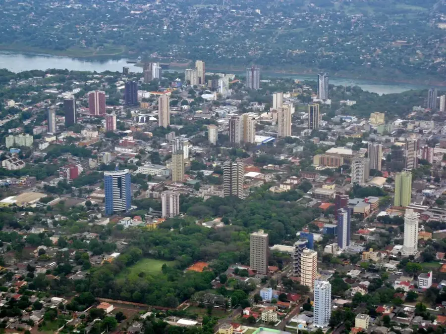
Paraná River
Weather…
Water temperature…
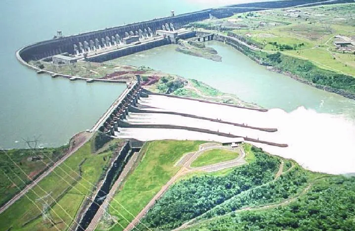
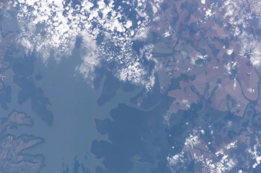
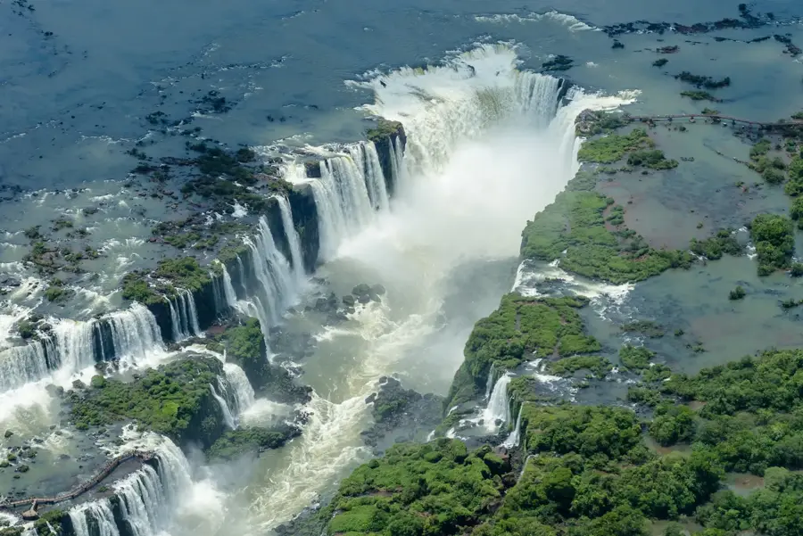
The Paraná River is the second longest river in South America after the Amazon, stretching approximately 4,880 kilometers. It originates in southern Brazil at the confluence of the Rio Grande and Paranaíba rivers, flowing through Paraguay and Argentina before emptying into the Río de la Plata estuary. Its drainage basin covers about 2.6 million square kilometers and is of immense economic importance to the region. The upper course of the Paraná hosts the Itaipu Dam, one of the world's largest hydroelectric power plants, providing a significant portion of the electricity for Brazil and Paraguay. The river serves as a crucial waterway for transporting grain and industrial goods from the interior to the Atlantic Ocean. Ecologically, the system is highly diverse, home to numerous fish species including the prized dorado. The river's flow is subject to seasonal fluctuations, largely dictated by subtropical rainfall patterns in the Brazilian highlands.
Best time to visit & climate
The most pleasant time to visit is Apr, Aug, Sep.
| Jan | Feb | Mar | Apr | May | Jun | Jul | Aug | Sep | Oct | Nov | Dec | |
|---|---|---|---|---|---|---|---|---|---|---|---|---|
| Avg °C | 24 | 24 | 23 | 21 | 17 | 16 | 15 | 17 | 19 | 22 | 22 | 24 |
| Rain mm | 166 | 149 | 118 | 107 | 154 | 114 | 90 | 77 | 104 | 191 | 151 | 171 |
📋 Practical info
Geography
Facts
- Its length of 4,880 km makes it the second longest river in South America.
- The drainage basin covers an area of 2,582,672 square kilometers.
- The Itaipu hydroelectric dam on the river began operation in 1984.
- It forms a long natural border between Brazil and Paraguay.
- It joins the Uruguay River to form the massive Río de la Plata estuary.
- The river carries millions of tons of sediment to its delta each year.
Route planner — Car & Motorhome
Where do you start? We build the route here, with stops and country notes along the way.
© OpenStreetMap contributors · OpenRouteService
Sights nearby
Frequently asked questions
How long is the Rio Paraná?
Which famous dam is located on this river?
Which countries border the Rio Paraná?
Can you fish in the river?
Where does the Rio Paraná empty?
Paraná River: where is it located?
Paraná River: when is the best time to visit?
Paraná River: why is it worth visiting?

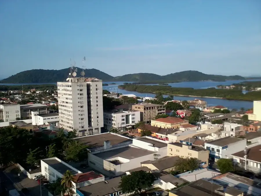
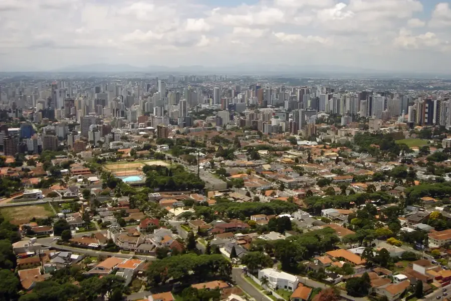
Nearby cities
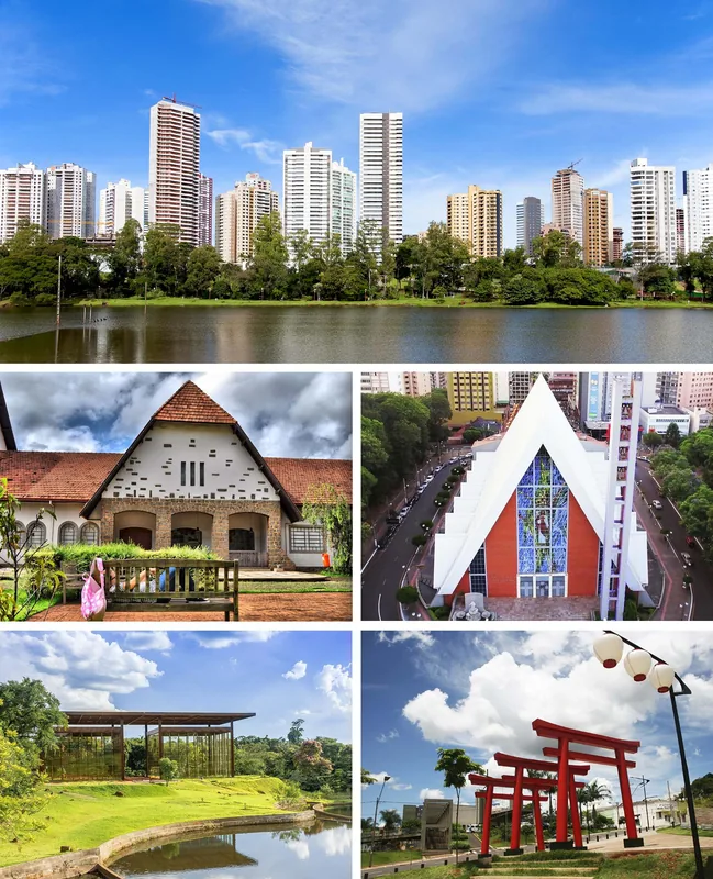

History & landmarks
Nature
More places