Plizio Visual Lab
Araguaia River
Weather…
Water temperature…
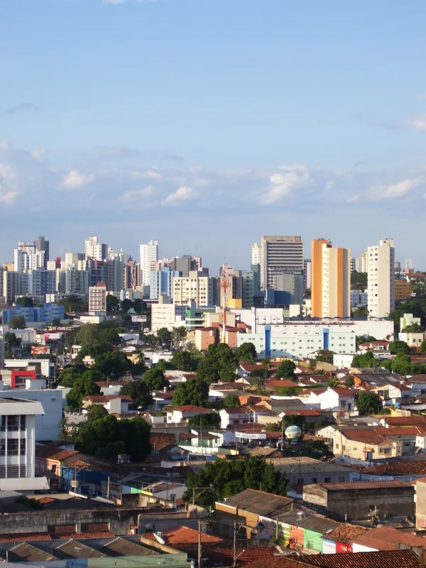
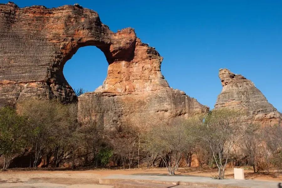
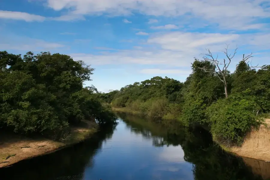
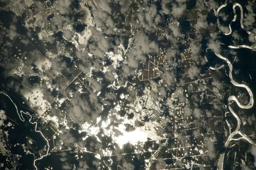
The Araguaia River is one of Brazil's most iconic rivers and the primary tributary of the Tocantins, flowing for approximately 2,627 kilometers. Rising in the Mato Grosso Plateau, it moves northwards, serving as a natural boundary between several Brazilian states. It is globally famous for hosting Bananal Island, the world's largest river island, formed by a split in the river's main channel. During the dry season, extensive white sand beaches emerge along its banks, attracting tourists for camping and fishing. Ecologically, the area is a transition zone between the Cerrado savanna and the Amazon rainforest, resulting in extraordinary biodiversity. The river is home to the Amazon river dolphin, giant otters, and various caiman species. However, the river faces threats from deforestation and intensive agriculture within its basin, leading to increased erosion. Despite its size, the Araguaia is only partially navigable due to numerous sandbars and rapids.
Best time to visit & climate
The most pleasant time to visit is May–Jul.
| Jan | Feb | Mar | Apr | May | Jun | Jul | Aug | Sep | Oct | Nov | Dec | |
|---|---|---|---|---|---|---|---|---|---|---|---|---|
| Avg °C | 27 | 27 | 27 | 27 | 26 | 27 | 28 | 30 | 32 | 31 | 28 | 27 |
| Rain mm | 242 | 199 | 188 | 93 | 18 | 5 | 2 | 3 | 27 | 108 | 183 | 198 |
📋 Practical info
Geography
Facts
- Its length of 2,627 km makes it one of the longest rivers in Brazil.
- Bananal Island covers an area of approximately 19,162 square km.
- The river joins the Tocantins near the city of Marabá.
- Archaeological finds in the region date back roughly 32,000 years.
- The Araguaia National Park protects vast stretches of the river ecosystem.
- The water level drops significantly during the dry season (June-September).
Route planner — Car & Motorhome
Where do you start? We build the route here, with stops and country notes along the way.
© OpenStreetMap contributors · OpenRouteService
Sights nearby
Frequently asked questions
What is the Rio Araguaia known for?
What is Bananal Island?
Can you swim in the Araguaia?
What animals live in the river?
Where is the Rio Araguaia located?
Araguaia River: where is it located?
Araguaia River: when is the best time to visit?
Araguaia River: why is it worth visiting?