Plizio Visual Lab
Turner's Hall Woods
Weather…
Water temperature…
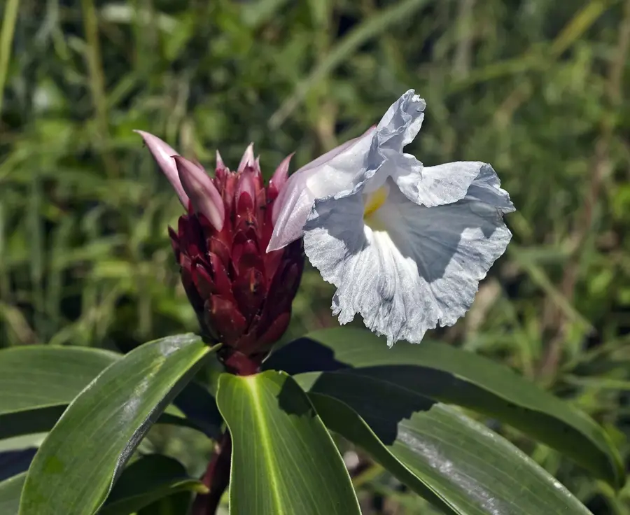
Turner's Hall Woods in the parish of St. Andrew is a precious remnant of Barbados' pre-colonial natural heritage. Spanning approximately 50 acres, it is the last significant stand of original tropical rainforest left on the island, offering a glimpse into what the landscape looked like before it was cleared for sugar cane production in the 17th century. Located within the rugged terrain of the Scotland District, the woods owe their survival to the steep slopes that proved unsuitable for farming. The forest is home to a magnificent array of indigenous trees, including towering Silk Cotton trees, Spanish Oaks, and Macaw Palms. This lush ecosystem provides a vital habitat for local wildlife, such as the Barbados Green Monkey and various rare bird species. For hikers, the shaded trails offer a cooling respite from the Caribbean sun and a chance to immerse themselves in a dense, primeval environment. Turner's Hall Woods is not only a beautiful destination for nature lovers but also a critical conservation site that preserves the genetic diversity of the island's original flora, standing as a living monument to the natural history of Barbados.
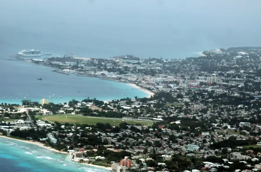
- Location: Barbados
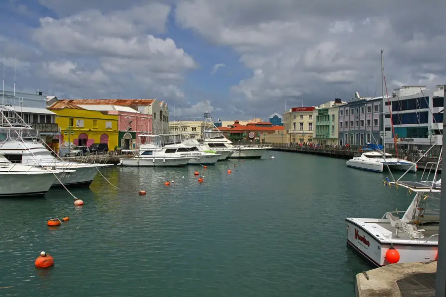
- Top sights: Saint Andrew, Barbados · Turner's Hall Wood · Bruce Vale
- Nearby: Flat Rock (4 km)
Best time to visit & climate
The most pleasant time to visit is Jan–Mar.
| Jan | Feb | Mar | Apr | May | Jun | Jul | Aug | Sep | Oct | Nov | Dec | |
|---|---|---|---|---|---|---|---|---|---|---|---|---|
| Avg °C | 26 | 26 | 26 | 27 | 28 | 28 | 28 | 28 | 28 | 28 | 28 | 27 |
| Rain mm | 34 | 19 | 19 | 28 | 52 | 72 | 74 | 95 | 98 | 132 | 107 | 49 |
📋 Practical info
Geography
Facts
- Area: 20 hectares.
- Over 30 native tree species.
- Elevation: 200 meters above sea level.
- 2 hiking trails totaling 3 km.
- Average annual temperature: 25°C.
- Protected since 1985.
Explore nearby
Notable places around
Route planner — Car & Motorhome
Where do you start? We build the route here, with stops and country notes along the way.
© OpenStreetMap contributors · OpenRouteService
Sights in the town Turner's Hall Woods (3)
Sights nearby
Frequently asked questions
What is Turner's Hall Woods?
Are the hiking trails strenuous?
Do I need a guide?
Is there parking available?
Is there a cost to visit the woods?
Turner's Hall Woods: where is it located?
Turner's Hall Woods: what is there to see?
Turner's Hall Woods: when is the best time to visit?

Nearby cities