Plizio Visual Lab
Hackleton's Cliff
Weather…
Water temperature…
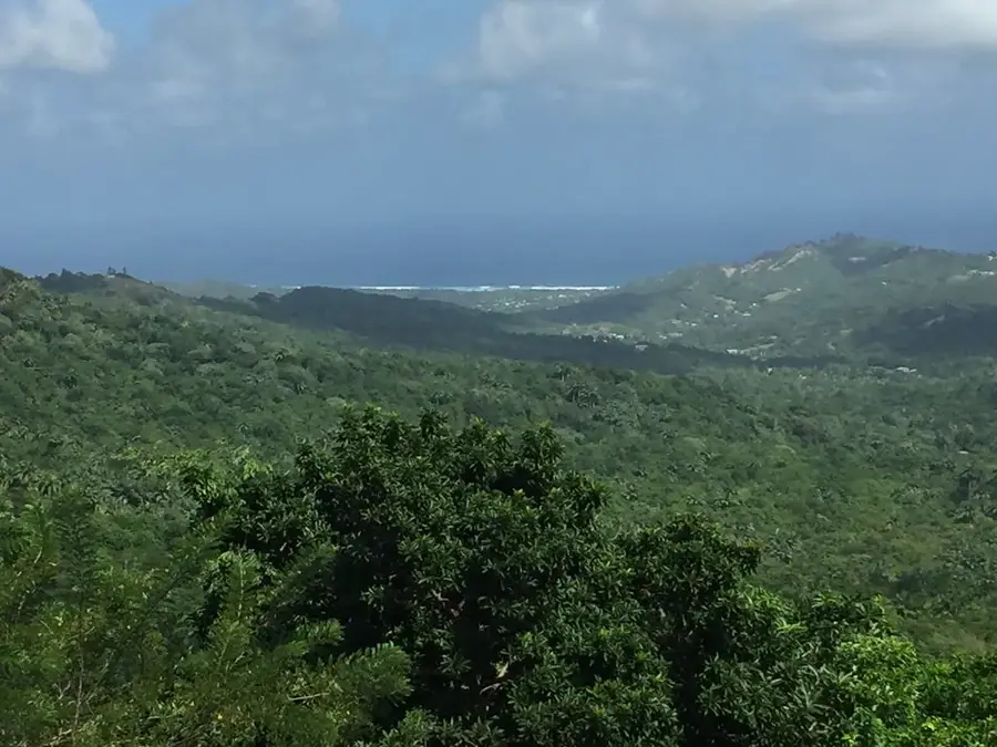
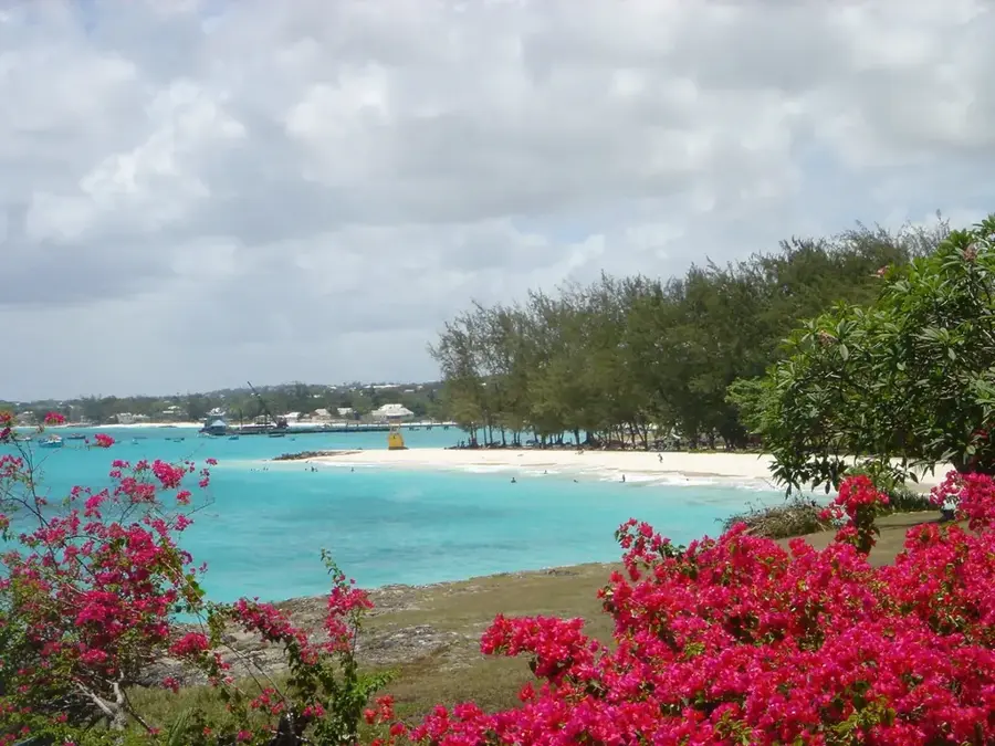
Hackleton's Cliff is a massive limestone escarpment that serves as one of the most dramatic vantage points in Barbados. Rising nearly 300 meters above sea level, it marks the boundary of the central highlands and the steep descent into the rugged Scotland District. From the top, visitors are treated to an expansive panorama that stretches across the east coast, overlooking the world-famous rollers of Bathsheba and the vast Atlantic Ocean. The cliff is part of a significant geological fault line, showcasing the island's unique coral limestone foundation. Surrounded by thick tropical forest, the area is a haven for local wildlife, including the Barbados Green Monkey. Walking trails along the cliff edge provide a serene escape into nature, far from the bustling tourist hubs of the south and west coasts. The site is particularly evocative in the morning light, highlighting the diverse topography and the lush, verdant slopes that define this part of the island.
- Location: Barbados
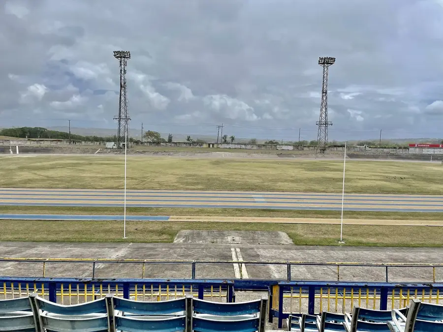
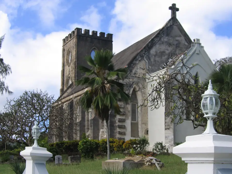
- Top sights: Saint Joseph, Barbados · Chimborazo, Barbados · Castle Grant, Barbados
- Nearby: Flat Rock (4 km)
Best time to visit & climate
The most pleasant time to visit is Jan–Mar.
| Jan | Feb | Mar | Apr | May | Jun | Jul | Aug | Sep | Oct | Nov | Dec | |
|---|---|---|---|---|---|---|---|---|---|---|---|---|
| Avg °C | 26 | 26 | 26 | 27 | 28 | 28 | 28 | 28 | 28 | 28 | 28 | 27 |
| Rain mm | 34 | 19 | 19 | 28 | 52 | 72 | 74 | 95 | 98 | 132 | 107 | 49 |
📋 Practical info
Geography
Facts
- Height: 100 m
- Geological layers: 4
- Hiking trail length: 1.5 km
- Bird species: over 20
- Distance to nearest beach: 500 m
- Annual visitors: 5,000
Explore nearby
Notable places around
Route planner — Car & Motorhome
Where do you start? We build the route here, with stops and country notes along the way.
© OpenStreetMap contributors · OpenRouteService
Sights in the town Hackleton's Cliff (3)
Sights nearby
Frequently asked questions
How high is Hackleton's Cliff?
Is the viewpoint safe for visitors?
Can you see the east coast from here?
Are there legends about this place?
How do you get to the cliff?
Hackleton's Cliff: where is it located?
Hackleton's Cliff: what is there to see?
Hackleton's Cliff: when is the best time to visit?
Hackleton's Cliff: why is it worth visiting?

Nearby cities