Plizio Visual Lab
Culpepper Island
Weather…
Water temperature…
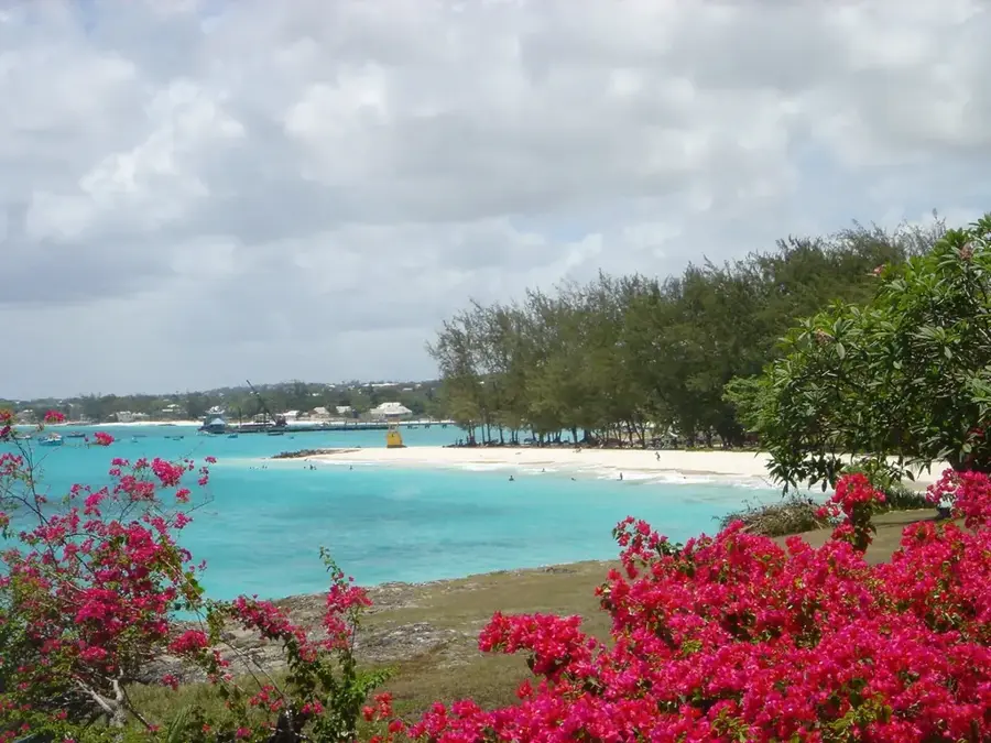
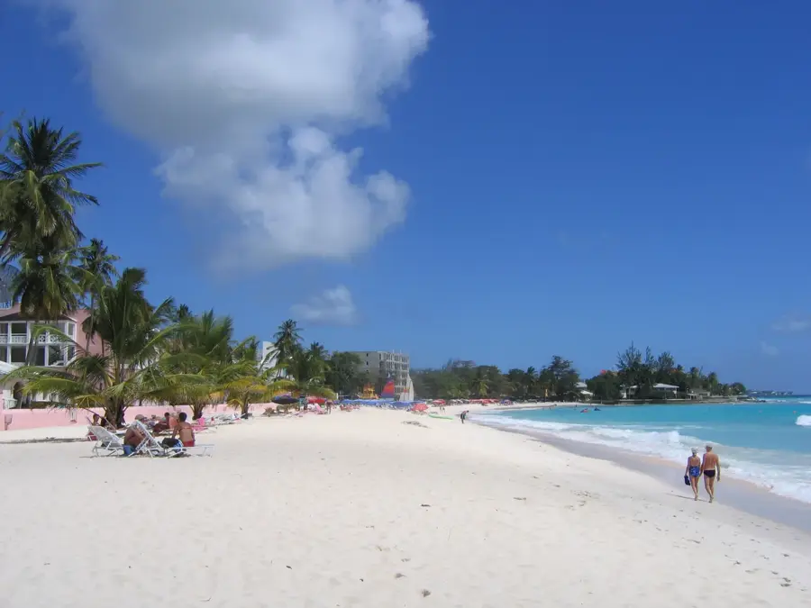
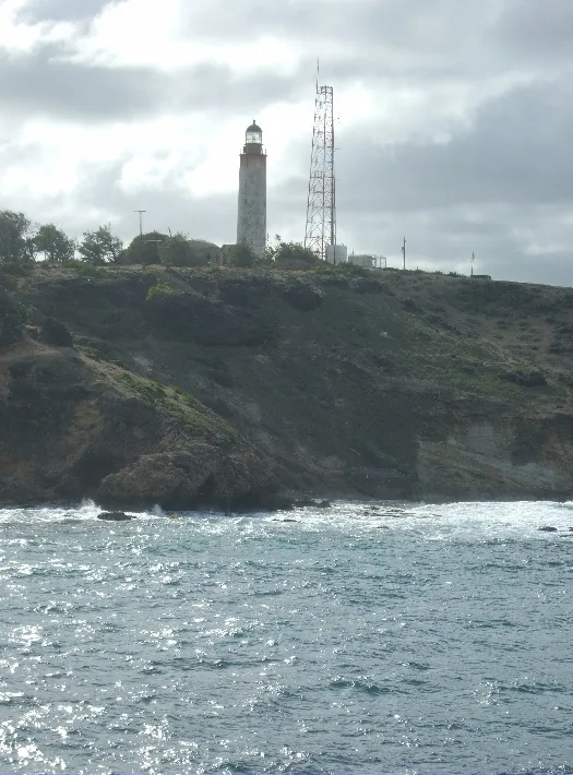
Culpepper Island is a tiny, uninhabited islet positioned just off the eastern coastline of Barbados, near Ragged Point in the parish of St. Philip. Composed of solid coral limestone, this small outcrop stands as the easternmost point of the Barbadian landmass. One of its most intriguing features is that it can be reached on foot during low tide, when the receding Atlantic waters expose a shallow path allowing visitors to wade across. The surrounding sea is known for its turbulent waves and powerful currents, making swimming hazardous but creating a dramatic scenery of crashing surf. The island itself is home to nesting seabirds and hardy coastal vegetation that survives despite the constant salt spray. For those exploring the rugged east coast, Culpepper Island gives a sense of remote adventure and unique photographic opportunities of the limestone cliffs. Caution is essential, as the tide returns quickly, and one must plan their return carefully to avoid being stranded on the rocky islet.
- Location: Barbados
- Nearby: Four Roads (5 km)
Best time to visit & climate
The most pleasant time to visit is Jan–Mar.
| Jan | Feb | Mar | Apr | May | Jun | Jul | Aug | Sep | Oct | Nov | Dec | |
|---|---|---|---|---|---|---|---|---|---|---|---|---|
| Avg °C | 26 | 26 | 26 | 27 | 28 | 28 | 28 | 28 | 28 | 28 | 28 | 27 |
| Rain mm | 34 | 19 | 19 | 28 | 52 | 72 | 74 | 95 | 98 | 132 | 107 | 49 |
📋 Practical info
Geography
Facts
- Distance from mainland: 1.5 km
- Highest elevation: 20 m above sea level
- Area: 0.05 km²
- Breeding pairs of red-billed tropicbird: ~2,000
- Geological age: Miocene (23-5 million years ago)
- Annual visitor numbers: <500
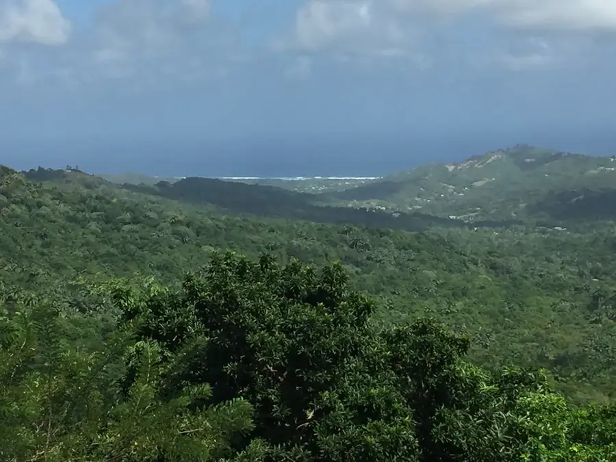
Explore nearby
Notable places around
Route planner — Car & Motorhome
Where do you start? We build the route here, with stops and country notes along the way.
© OpenStreetMap contributors · OpenRouteService
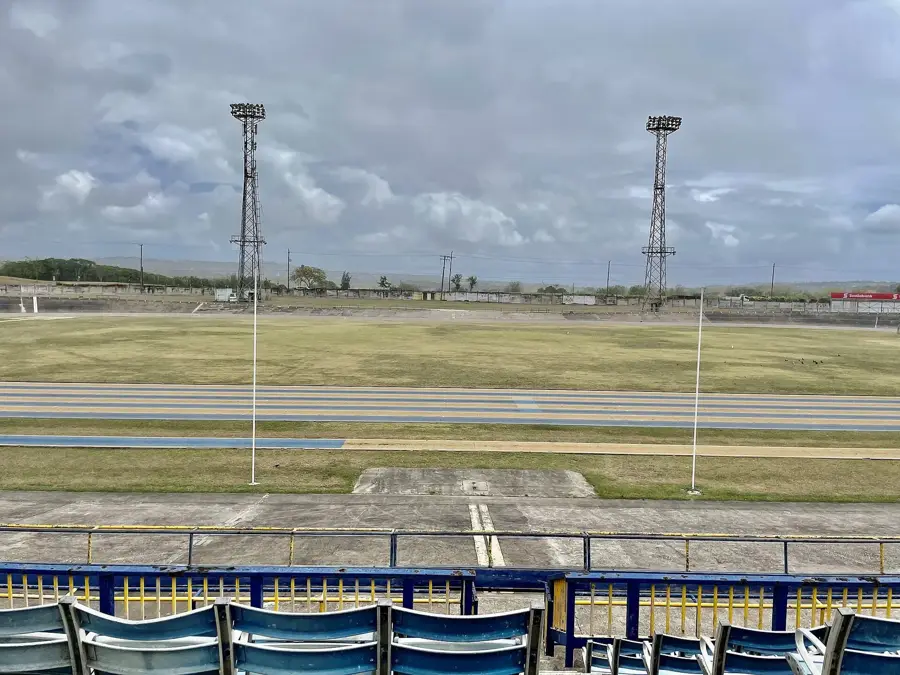
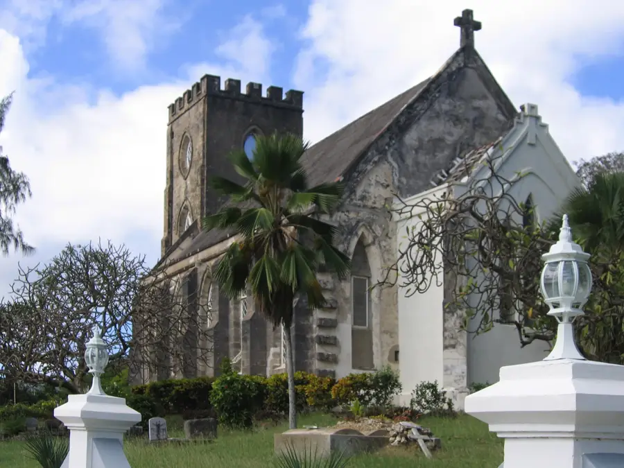
Sights in the town Culpepper Island (1)
Sights nearby
Frequently asked questions
Can you walk to the island?
Is the island inhabited?
What is there to see on the island?
Is a boat needed?
Is camping allowed?
Culpepper Island: where is it located?
Culpepper Island: when is the best time to visit?
Culpepper Island: why is it worth visiting?

Nearby cities