Plizio Visual Lab
Lighthouse of Cap Caxine

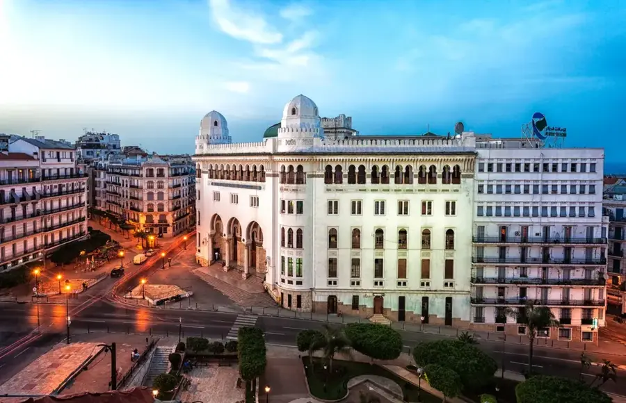
The Lighthouse of Cap Caxine is a historic navigation structure on the Algerian Mediterranean coast, located approximately 12 kilometers west of the Port of Algiers. This prominent building was constructed in 1868 under French colonial administration and officially began operations on September 1st of that same year. The square tower reaches a height of 33 meters above ground level, while the light beacon sits at an impressive height of 64 meters above sea level. With a range of about 22 nautical miles, the lighthouse has played a crucial role for over 150 years in the safety of maritime traffic approaching the Algerian capital. The tower's architecture is simple and functional, executed in local limestone which gives the building its characteristic light color. Inside, a spiral staircase leads to the lantern, which was originally equipped with a Fresnel lens to concentrate the light beam. Cap Caxine is situated in the commune of Hammamet (formerly Bains Romains) and has a spectacular panoramic view over the open sea from its cliffside position. Despite the introduction of modern GPS technologies, the lighthouse remains an indispensable visual signal for fishermen and cargo ships alike. Today, the tower is a protected historical monument and a symbol of Algeria's maritime heritage.
- Location: Algeria
- Top sights: La Fayette · Bekouch · Plage Tire au Pigeon
- Nearby: Staoueli (9 km)
Best time to visit & climate
The most pleasant time to visit is May, Jun, Oct.
| Jan | Feb | Mar | Apr | May | Jun | Jul | Aug | Sep | Oct | Nov | Dec | |
|---|---|---|---|---|---|---|---|---|---|---|---|---|
| Avg °C | 14 | 13 | 15 | 16 | 19 | 22 | 25 | 26 | 24 | 22 | 18 | 15 |
| Rain mm | 84 | 67 | 60 | 53 | 39 | 11 | 5 | 12 | 39 | 64 | 107 | 85 |
📋 Practical info
Geography
Facts
- The lighthouse was commissioned on September 1, 1868.
- The focal height of the light is 64 meters above sea level.
- The square stone tower itself stands 33 meters tall.
- The light signal has a visibility range of 22 nautical miles.
- It was built on a cliff located west of Algiers.
- The tower is operated by the ONM (Office National de la Signalisation Maritime).
Explore nearby
Notable places around
Route planner — Car & Motorhome
Where do you start? We build the route here, with stops and country notes along the way.
© OpenStreetMap contributors · OpenRouteService
Sights in the town Lighthouse of Cap Caxine (6)
Sights nearby
Frequently asked questions
When was the lighthouse built?
Can you climb the lighthouse?
Where is the lighthouse located?
Is the lighthouse still in operation?
How high is the beacon?
Lighthouse of Cap Caxine: where is it located?
Lighthouse of Cap Caxine: what is there to see?
Lighthouse of Cap Caxine: when is the best time to visit?
Lighthouse of Cap Caxine: why is it worth visiting?

Nearby cities
History & landmarks

More places