Plizio Visual Lab
Pech Valley

Weather…
Water temperature…
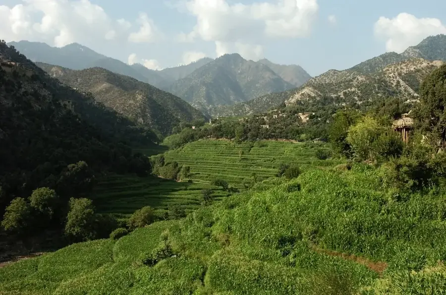
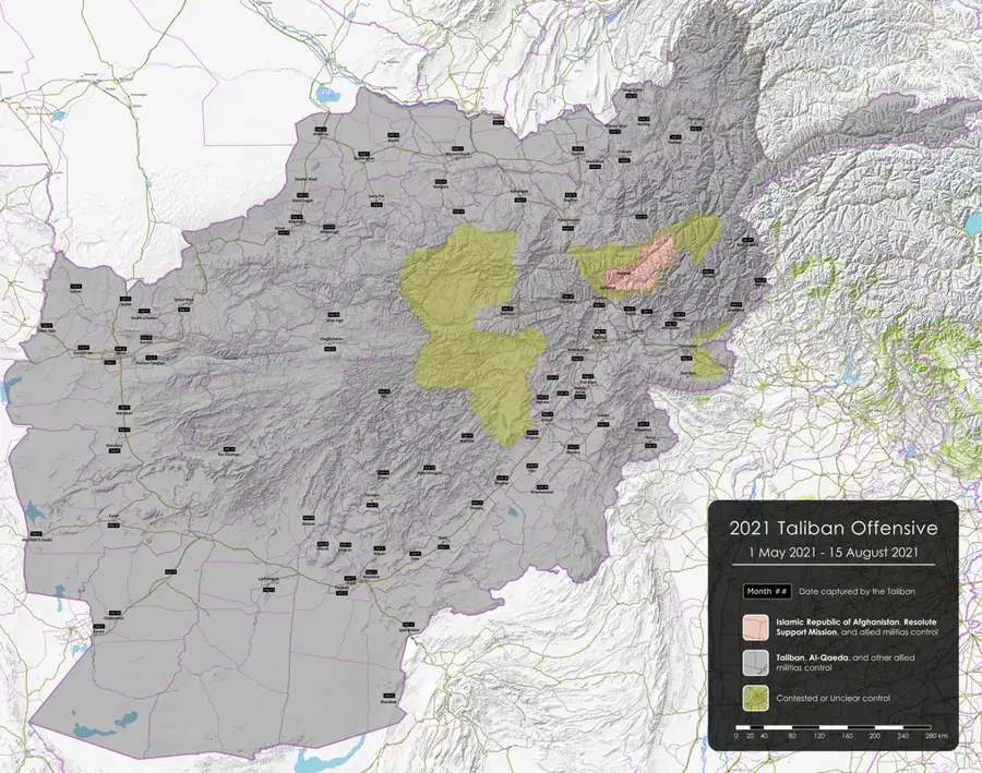
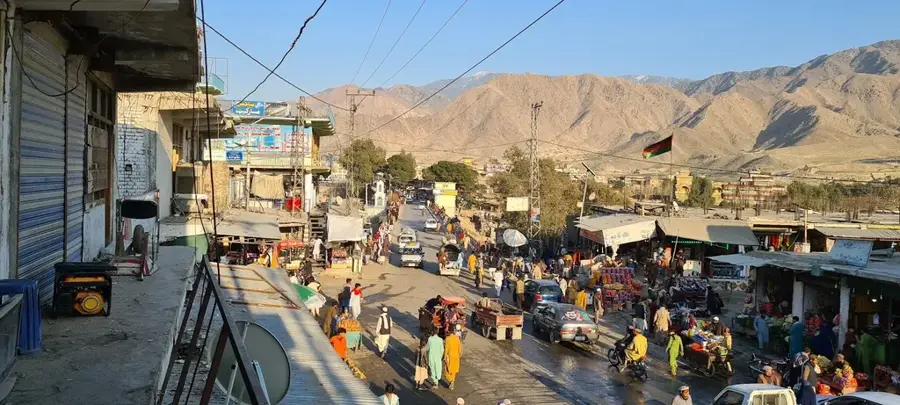
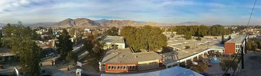
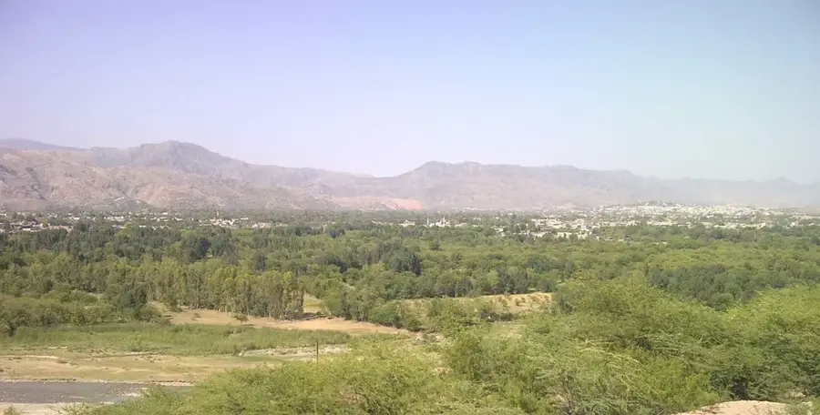
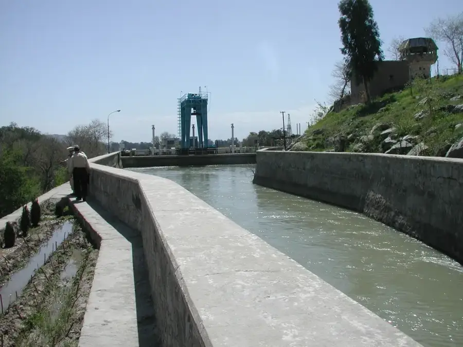
The Pech Valley, in Kunar province, eastern Afghanistan, is a narrow and steep river valley known for its dense forests and the Pech River that flows through it. The valley's population is predominantly Pashtun, of the Safi tribe. Much like the nearby Korengal Valley, the Pech Valley was a significant area of operations during the U.S. war in Afghanistan. U.S. forces established several forward operating bases there to interdict insurgent movement along the porous border with Pakistan. The extremely rugged terrain provided a distinct advantage to insurgent groups familiar with the landscape. The valley is also notable for its valuable timber resources, and control of the lucrative lumber trade has long been a source of conflict in the area.
- Location: Afghanistan
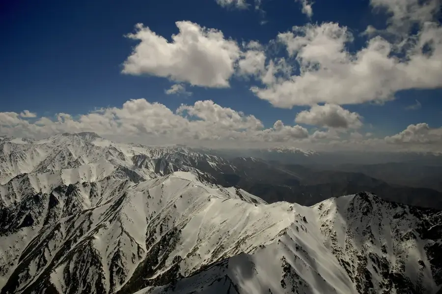
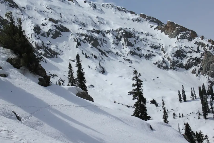
- Top sights: Badayl Sar · Gatigal Sar · Sawtalo Sar
Best time to visit & climate
The most pleasant time to visit is Jun, Aug, Sep.
| Jan | Feb | Mar | Apr | May | Jun | Jul | Aug | Sep | Oct | Nov | Dec | |
|---|---|---|---|---|---|---|---|---|---|---|---|---|
| Avg °C | 1 | 2 | 7 | 13 | 18 | 22 | 24 | 22 | 19 | 14 | 8 | 3 |
| Rain mm | 44 | 88 | 88 | 86 | 38 | 30 | 56 | 59 | 31 | 29 | 33 | 27 |
📋 Practical info
Geography
Facts
- Location: Kunar Province, Eastern Afghanistan
- A narrow, steep-sided river valley
- Primarily inhabited by the Safi Pashtun tribe
- Was a major area of operations for U.S. forces
- Known for its dense forests and timber resources
- The Pech River runs through the valley
- Rugged terrain provided advantages to insurgents
- Close to the border with Pakistan
Explore nearby
Notable places around
Route planner — Car & Motorhome
Where do you start? We build the route here, with stops and country notes along the way.
© OpenStreetMap contributors · OpenRouteService
Sights in the town Pech Valley (3)
Sights nearby
Frequently asked questions
How easy is the valley to reach by road?
When is the best time to visit?
Are there simple lodgings or teahouses in the valley?
What is the visit best for?
What should you watch for on the way?
Pech Valley: where is it located?
Pech Valley: what is there to see?
Pech Valley: when is the best time to visit?
Pech Valley: why is it worth visiting?

Nearby cities
History & landmarks
More places