Plizio Visual Lab
Shurugwi

ℹ️Practical info — Shurugwi
▾
🌤 Weather — 5 days
📍 Nearby
Sights nearby
💡 Tips
- Drive with extreme caution through the Boterekwa Pass; the winding curves are very steep and sharp.
- Avoid traveling through the mountain pass at night due to limited visibility and safety concerns.
- Use the lay-bys situated every kilometer on the pass to enjoy the panoramic valley views.
- Carry a light jacket, as it can be significantly cooler in the mountains compared to the plains.
- Ensure your vehicle is in good condition before attempting the steep gradients of the Great Dyke.
🍽 Food
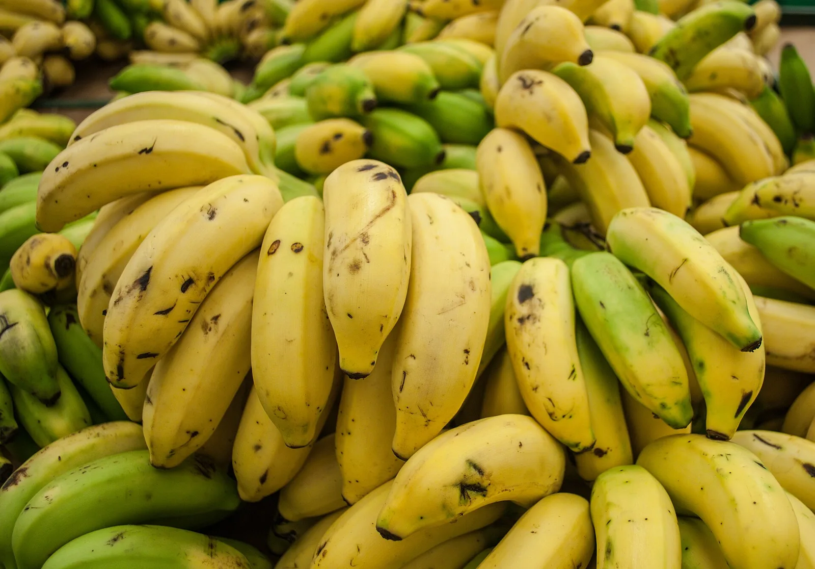
Well-known for its fish recipes and quick service located right along the highway.
A rich traditional peanut butter stew, often served with vegetables or meat.
A local protein-rich delicacy; look for them dried or fried at local markets.
🛍 Shopping · 🧘 Quiet spots
A bustling rural hub for authentic local goods and traditional items.
Artisans near the pass sell beautiful handmade sculptures.
A tranquil oasis first-rate for a picnic, fishing, or a short nature walk.
Gives 360-degree vistas of the Midlands landscape from the mountaintop.
Water temperature…
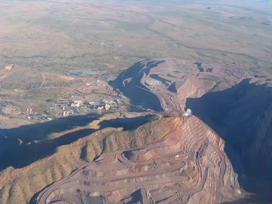
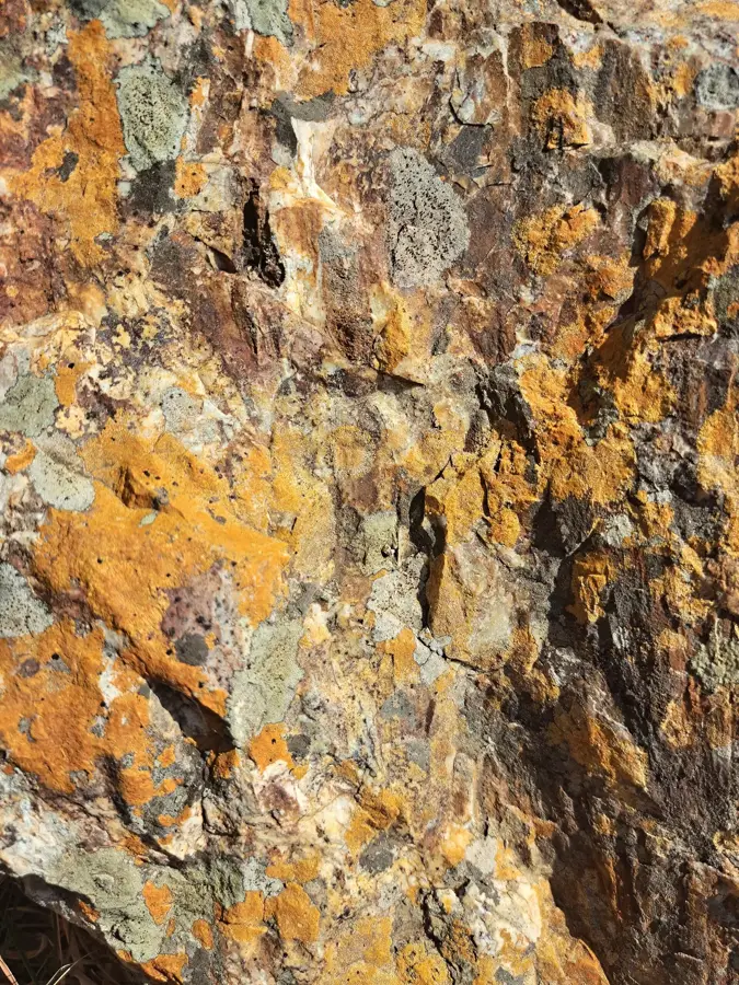
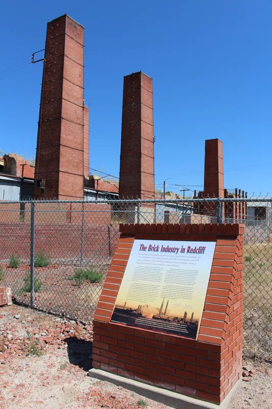
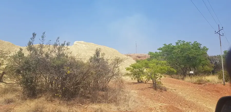
Shurugwi, known as Selukwe until 1982, is a prominent mining town located in the Midlands Province of Zimbabwe along the mineral-rich Great Dyke ridge. Established in 1899 to exploit the area's vast chrome and gold deposits, the town has remained a cornerstone of the national mining industry for over a century. The surrounding landscape is characterized by dramatic elevation changes and rugged terrain, most famously showcased by the Boterekwa Pass (also known as Wolfshall Pass), which features steep scenic serpentines carved into the mountainside. The town's location on the ridge provides it with a cooler climate compared to the surrounding plains, making it a distinctive highland settlement. While mining remains the primary economic driver, the area's natural beauty and colonial-era historical remnants offer a unique window into Zimbabwe's industrial past and geological wonders. Its proximity to Gweru makes it an accessible stop for those interested in the country's mineral wealth and scenic mountain passes.
- Location: Zimbabwe
- Nearby: Mashava (62 km)
- Population: ~23.304 (2024)
Best time to visit & climate
The most pleasant time to visit is Apr, Sep, Oct.
| Jan | Feb | Mar | Apr | May | Jun | Jul | Aug | Sep | Oct | Nov | Dec | |
|---|---|---|---|---|---|---|---|---|---|---|---|---|
| Avg °C | 22 | 22 | 21 | 19 | 16 | 14 | 13 | 17 | 20 | 23 | 23 | 23 |
| Rain mm | 130 | 118 | 93 | 39 | 6 | 5 | 5 | 1 | 8 | 28 | 87 | 177 |
Geography
Facts
- Shurugwi has a population of about 15,000 (2012).
- The town is at an elevation of 1,200 m.
- Annual rainfall is 700 mm.
- Gold production in the region is 1.5 tonnes annually.
- Ngezi River is 80 km long.
- Shurugwi hospital has 60 beds.
Explore nearby
Notable places around
Route planner — Car & Motorhome
Where do you start? We build the route here, with stops and country notes along the way.
© OpenStreetMap contributors · OpenRouteService
Sights in the town Shurugwi (1)
Frequently asked questions
What is Shurugwi known for?
Are there beautiful views there?
Is a stay advisable?
How to reach Shurugwi?
What infrastructure awaits me?
Shurugwi: where is it located?
Shurugwi: when is the best time to visit?
Shurugwi: why is it worth visiting?

Nearby cities

History & landmarks
More places