Plizio Visual Lab
Karakaya Dam
Weather…
Water temperature…
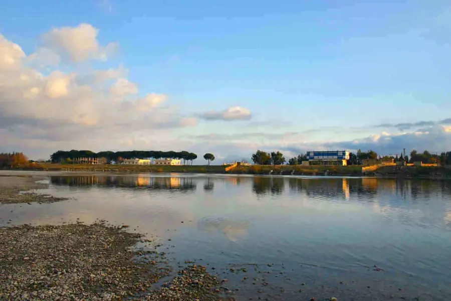
The Karakaya Dam is a monumental structure on the Euphrates River in Eastern Turkey and a cornerstone of the Southeastern Anatolia Project (GAP). Located approximately 15 kilometers downstream from the town of Çüngüş, it was built between 1976 and 1987 to harness the hydroelectric power of Western Asia's longest river. Standing at a height of 173 meters above the foundation, it is designed as an arch-gravity dam that impounds a massive reservoir with a volume of about 9.5 billion cubic meters. The integrated hydroelectric plant features six Francis turbines with a total installed capacity of 1,800 megawatts. On average, the facility produces 7,354 gigawatt-hours of electricity annually, significantly contributing to the national energy supply. Beyond energy production, the reservoir supports inland fisheries and has lasting impacts on local infrastructure through new road and rail links.
- Location: Turkey
- Nearby: Elazığ (40 km)
Best time to visit & climate
The most pleasant time to visit is May, Jun, Sep.
| Jan | Feb | Mar | Apr | May | Jun | Jul | Aug | Sep | Oct | Nov | Dec | |
|---|---|---|---|---|---|---|---|---|---|---|---|---|
| Avg °C | -1 | 2 | 6 | 11 | 17 | 23 | 28 | 28 | 23 | 16 | 7 | 2 |
| Rain mm | 61 | 55 | 50 | 52 | 38 | 10 | 2 | 1 | 8 | 35 | 47 | 61 |
📋 Practical info
Geography
Facts
- Construction period from 1976 to completion in 1987.
- The dam stands 173 meters high.
- Total installed capacity is 1,800 MW.
- Features six turbines with 300 MW each.
- The reservoir has a volume of 9.5 billion cubic meters.
- Average annual production of 7,354 GWh.
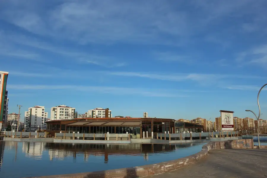
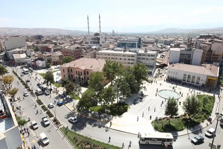
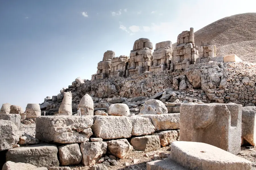
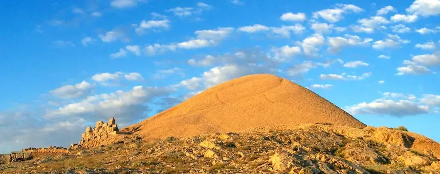
Explore nearby
Notable places around
Route planner — Car & Motorhome
Where do you start? We build the route here, with stops and country notes along the way.
© OpenStreetMap contributors · OpenRouteService
Sights nearby
Frequently asked questions
What does the Karakaya Dam produce?
Is the dam interesting for tourism?
What is the weather like in the region?
What should I consider when traveling?
Why is the region economically important?
Karakaya Dam: where is it located?
Karakaya Dam: when is the best time to visit?
Karakaya Dam: why is it worth visiting?