Plizio Visual Lab
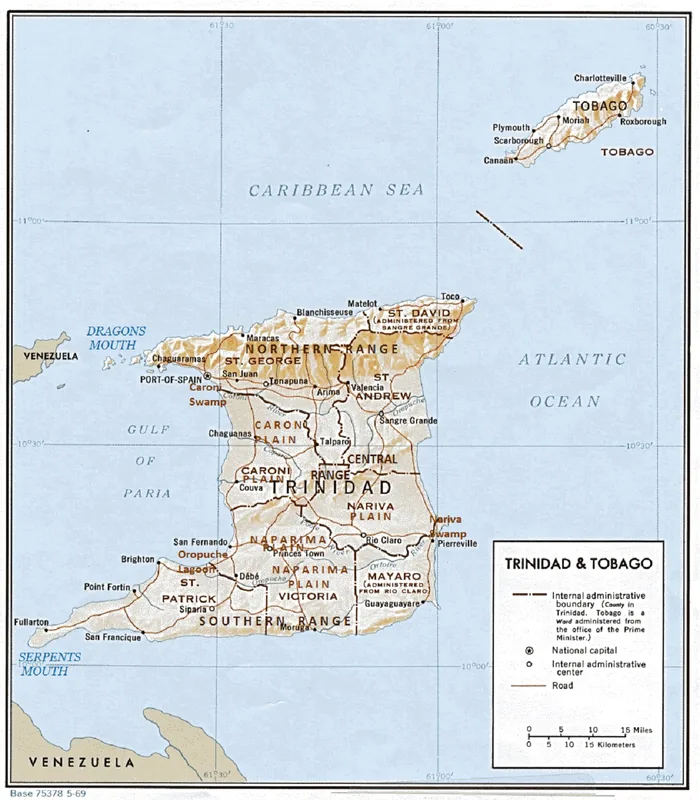
Central Range
Weather…
Water temperature…
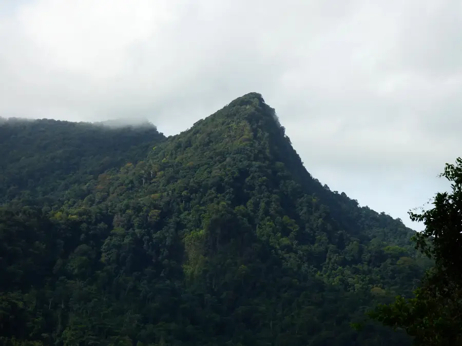
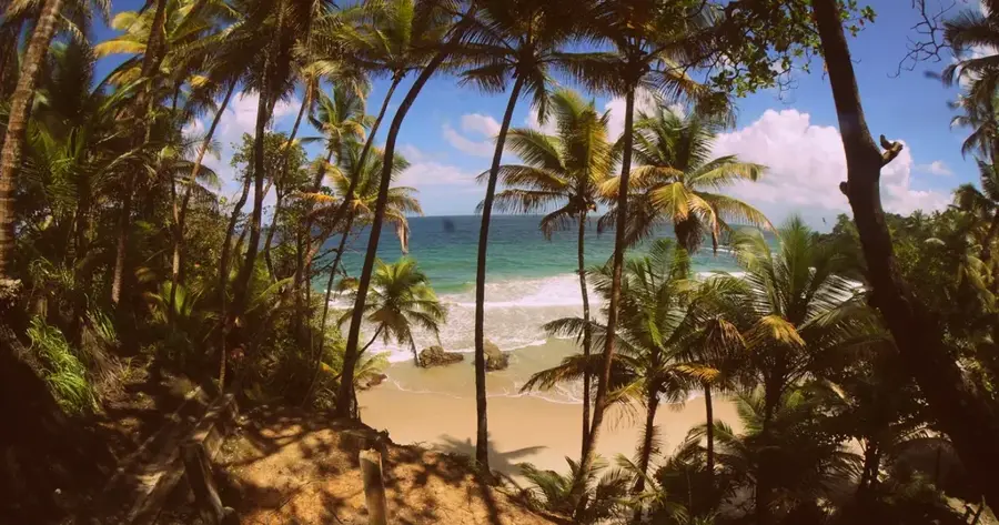
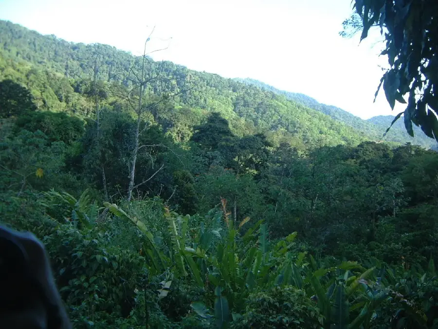
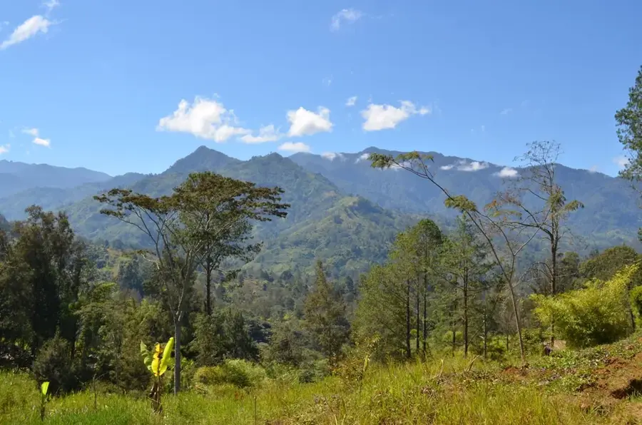
The Central Range is a low-lying mountain range that stretches diagonally across the center of Trinidad, acting as a natural divide between the Caroni Plain to the north and the Naparima Plain to the south. Unlike the rugged Northern Range, the Central Range features a gentler relief of rolling hills and undulating terrain, composed primarily of Tertiary limestone, sandstone, and clay. The highest point in the range is Mount Tamana, which rises to 307 meters above sea level. Historically, this region was the epicenter of Trinidad's cocoa industry, with its fertile soils supporting vast estates during the 19th and early 20th centuries. Today, much of the range is covered by managed teak and pine forests, alongside significant patches of protected indigenous rainforest. The range is also famous for its limestone karst topography, most notably the Tamana Caves, which house massive colonies of several bat species. It remains a key area for agriculture and timber production.
- Location: Trinidad and Tobago
- Nearby: Tabaquite (5 km)
Best time to visit & climate
The most pleasant time to visit is Feb–Apr.
| Jan | Feb | Mar | Apr | May | Jun | Jul | Aug | Sep | Oct | Nov | Dec | |
|---|---|---|---|---|---|---|---|---|---|---|---|---|
| Avg °C | 26 | 26 | 27 | 28 | 28 | 27 | 27 | 27 | 27 | 27 | 27 | 26 |
| Rain mm | 100 | 61 | 52 | 56 | 117 | 222 | 202 | 202 | 141 | 176 | 213 | 178 |
📋 Practical info
Geography
Facts
- The highest peak, Mount Tamana, stands at 307 meters (1,007 feet).
- The range is composed of rocks much younger than the Northern Range.
- The Tamana Caves are a major site for bat research in the Caribbean.
- Large areas are designated as Forest Reserves for timber management.
- The Central Range forms the watershed for the Navet Dam reservoir.
- It features unique mud volcanoes on its southern fringes.
Explore nearby
Notable places around
Route planner — Car & Motorhome
Where do you start? We build the route here, with stops and country notes along the way.
© OpenStreetMap contributors · OpenRouteService
Sights nearby
Frequently asked questions
What characterizes the Central Range?
Can you go cycling there?
What is the best season for a visit?
Are the areas publicly accessible?
Is there good infrastructure there?
Central Range: where is it located?
Central Range: when is the best time to visit?
Central Range: why is it worth visiting?
More places