Plizio Visual Lab
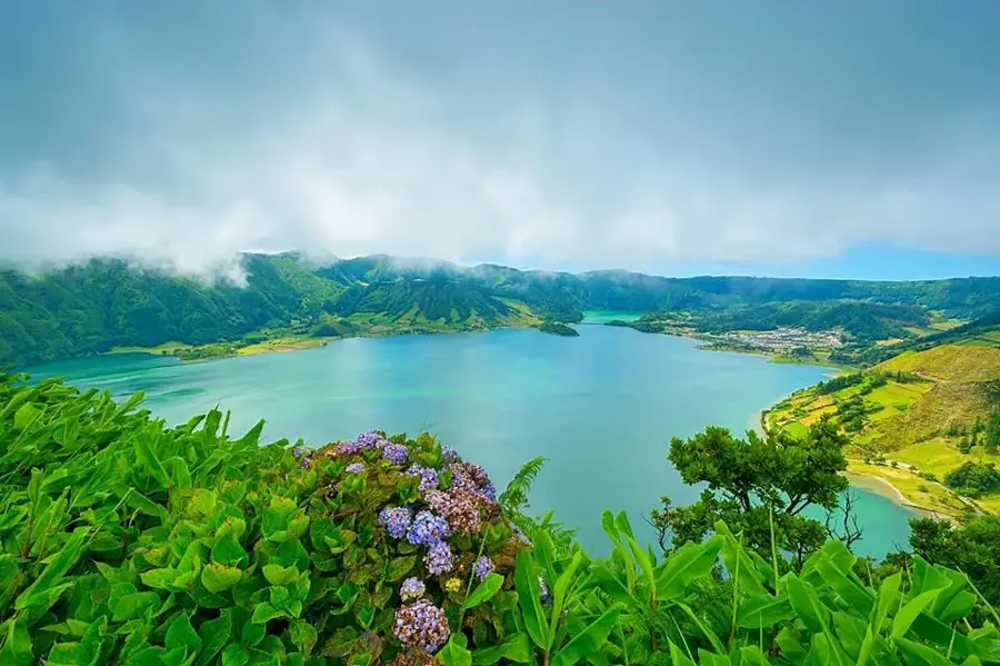
Lagoa do Fogo, Azores

Weather…
Water temperature…
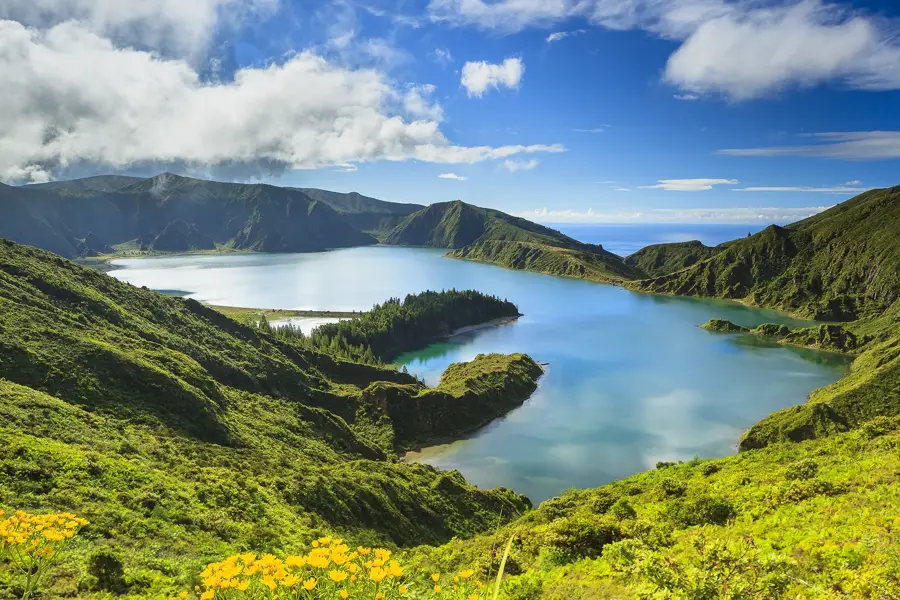
Lagoa do Fogo (Lake of Fire) is a dramatic crater lake located in the heart of São Miguel Island in the Azores and is regarded as one of the most pristine landscapes in the archipelago. The lake occupies the central caldera of the Água de Pau volcano, which was formed approximately 15,000 years ago. Because the area has been strictly protected as a nature reserve since 1974, there are no buildings or human settlements surrounding the lake, preserving its wild and natural state. Situated at an altitude of about 575 meters above sea level, the lake is often shrouded in a mystical mist that can suddenly clear to reveal spirited blue waters and lush green crater walls. The surrounding vegetation consists largely of endemic species such as the Azores heather and the Azores juniper. Hiking trails allow visitors to descend to the white sandy shores of the lake, offering spectacular vantage points of the entire island during the trek. Lagoa do Fogo is also a critical nesting ground for various bird species, including the Azores gull and the common tern. Its geological significance and ecological richness make it a protected site of European importance.
- Location: Portugal
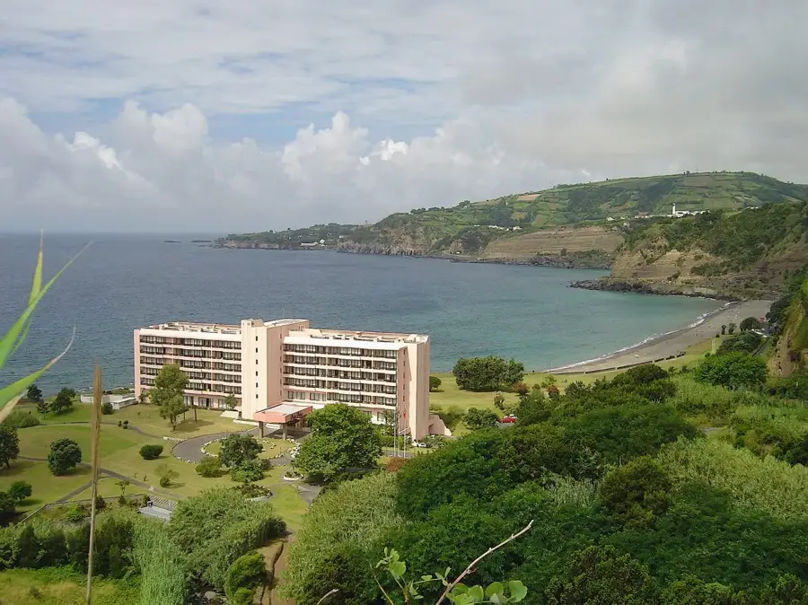
- Top sights: Central Hídrica da Fajã Redonda · Centro de interpretação Ambiental da Caldeira Velha · Termas das Caldeiras da Ribeira Grande
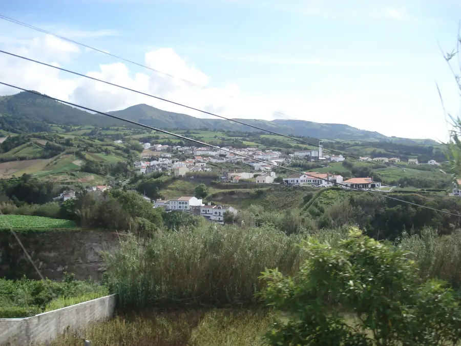
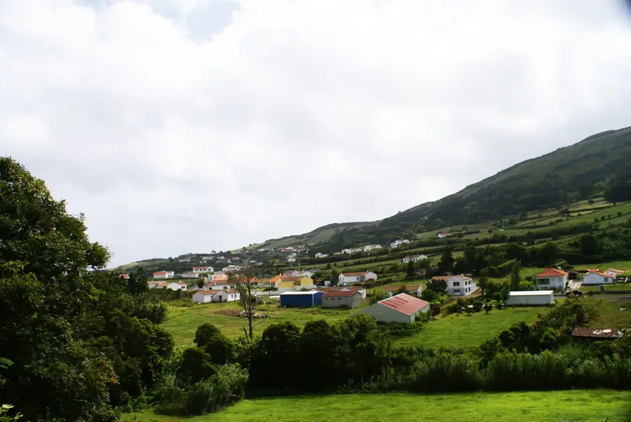
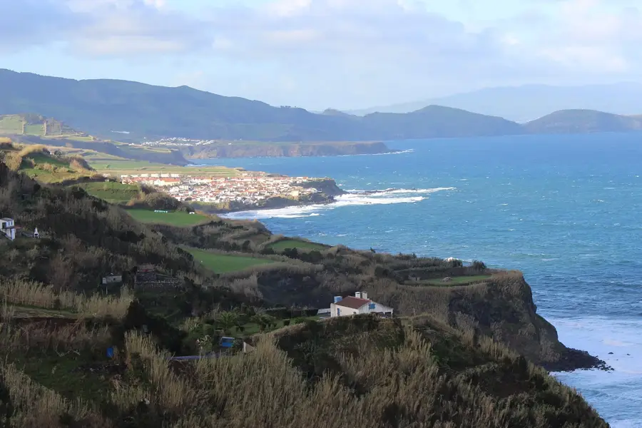
- Nearby: Ribeira Chã (6 km)
Best time to visit & climate
The most pleasant time to visit is Jun–Aug.
| Jan | Feb | Mar | Apr | May | Jun | Jul | Aug | Sep | Oct | Nov | Dec | |
|---|---|---|---|---|---|---|---|---|---|---|---|---|
| Avg °C | 16 | 15 | 15 | 16 | 17 | 19 | 21 | 23 | 22 | 20 | 18 | 17 |
| Rain mm | 67 | 68 | 65 | 56 | 43 | 30 | 18 | 27 | 56 | 74 | 66 | 105 |
📋 Practical info
Geography
Facts
- Nestled within the caldera of the Água de Pau volcano.
- Situated at an elevation of 575 meters above sea level.
- The entire area has been a protected nature reserve since 1974.
- The lake reaches a maximum depth of approximately 30 meters.
- The volcano's last significant eruption occurred in the year 1563.
- One of the largest lakes in the entire Azores archipelago.
Explore nearby
Notable places around
Route planner — Car & Motorhome
Where do you start? We build the route here, with stops and country notes along the way.
© OpenStreetMap contributors · OpenRouteService
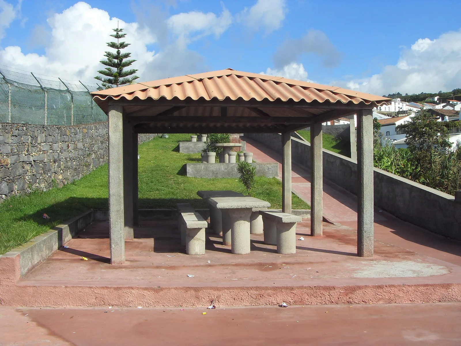
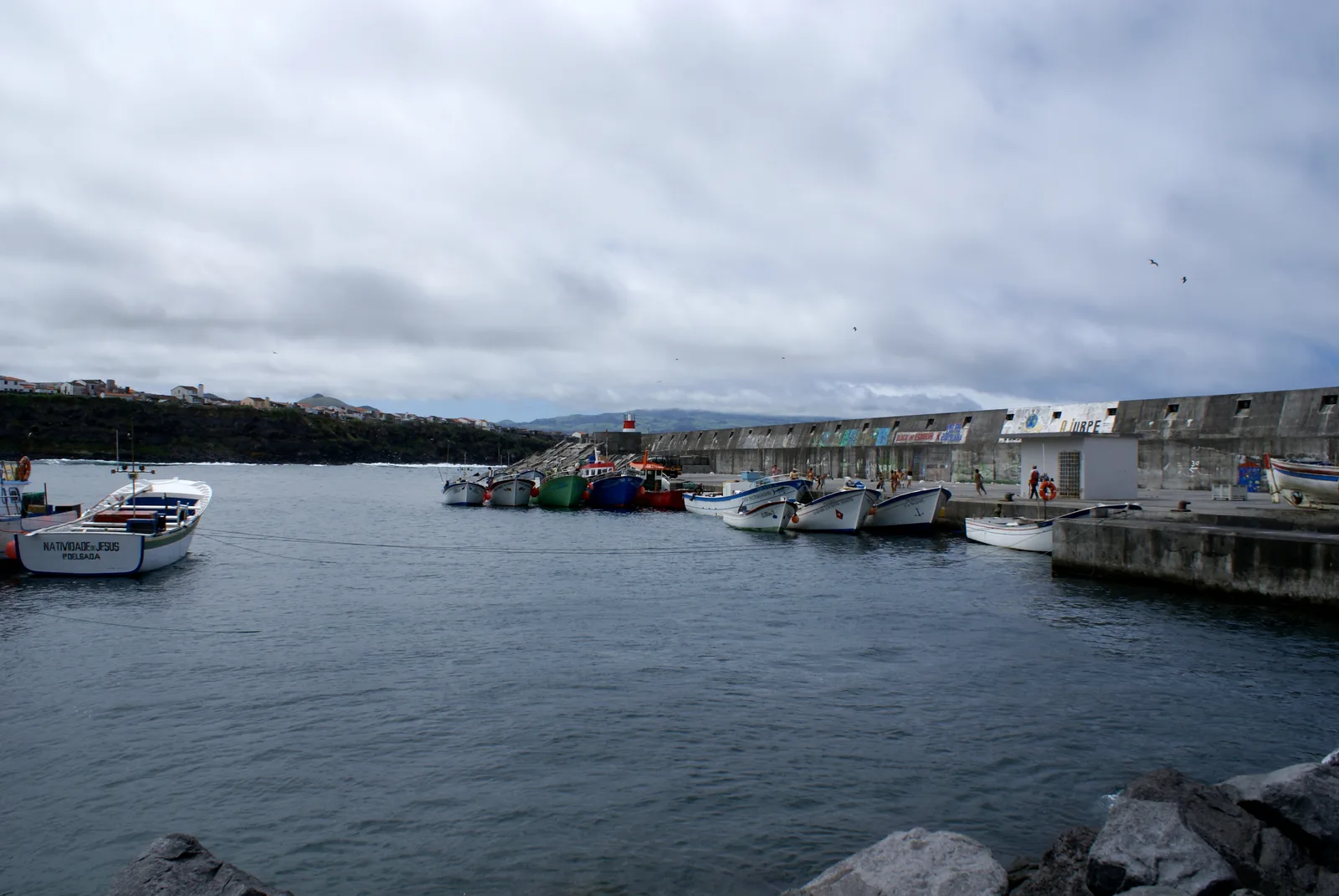
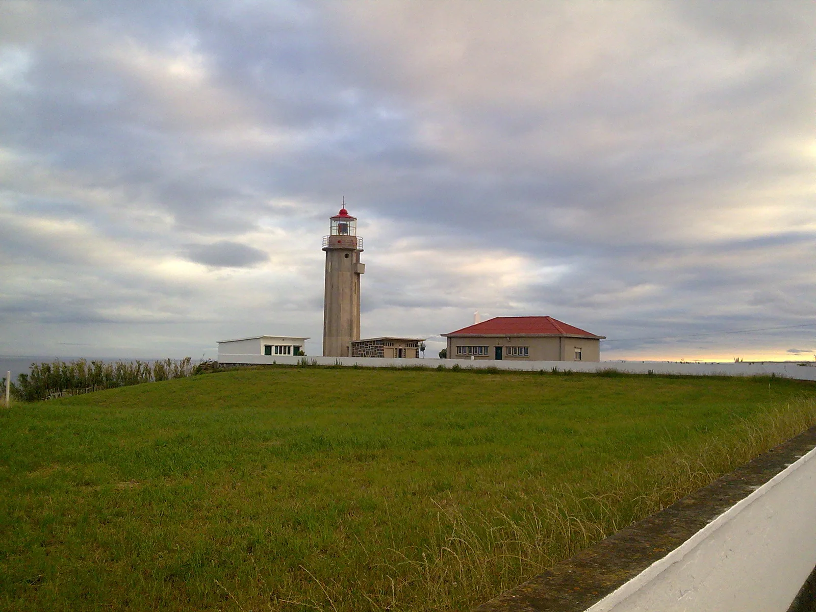
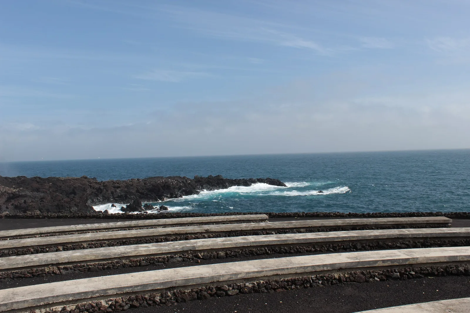
Sights in the town Lagoa do Fogo, Azores (6)
Sights nearby
Frequently asked questions
What is Lagoa do Fogo?
Can you swim in the lake?
Is there often fog there?
How do you reach the lake?
Are there parking restrictions?
Lagoa do Fogo, Azores: where is it located?
Lagoa do Fogo, Azores: what is there to see?
Lagoa do Fogo, Azores: when is the best time to visit?
Lagoa do Fogo, Azores: why is it worth visiting?

Nearby cities