Plizio Visual Lab
Palawan Coastline
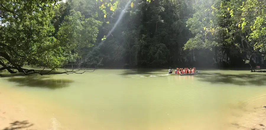
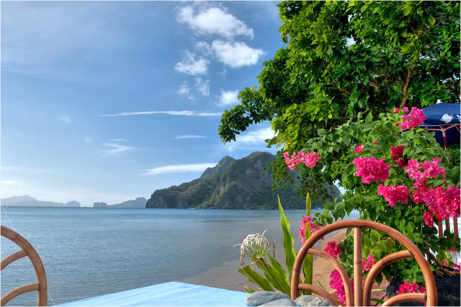
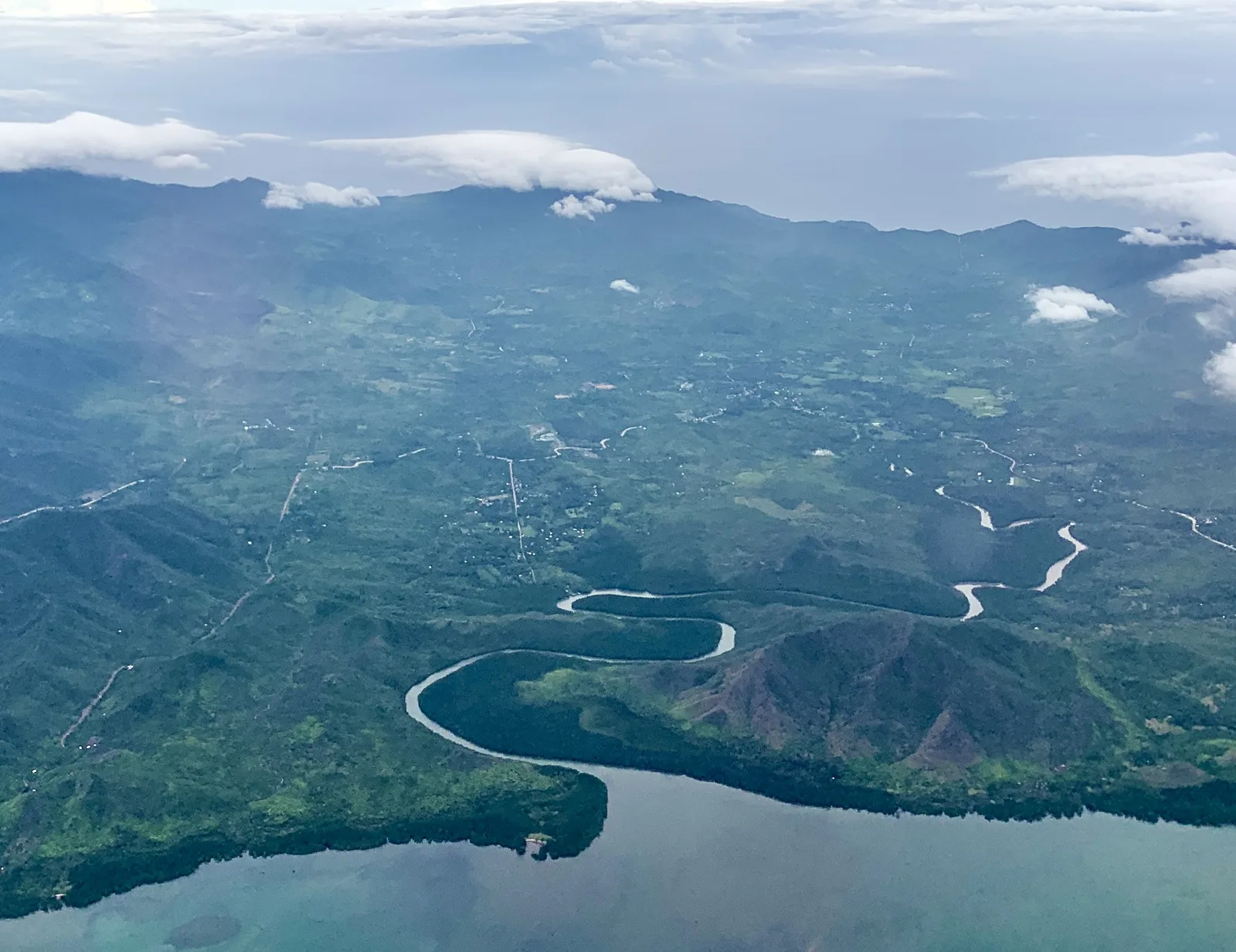
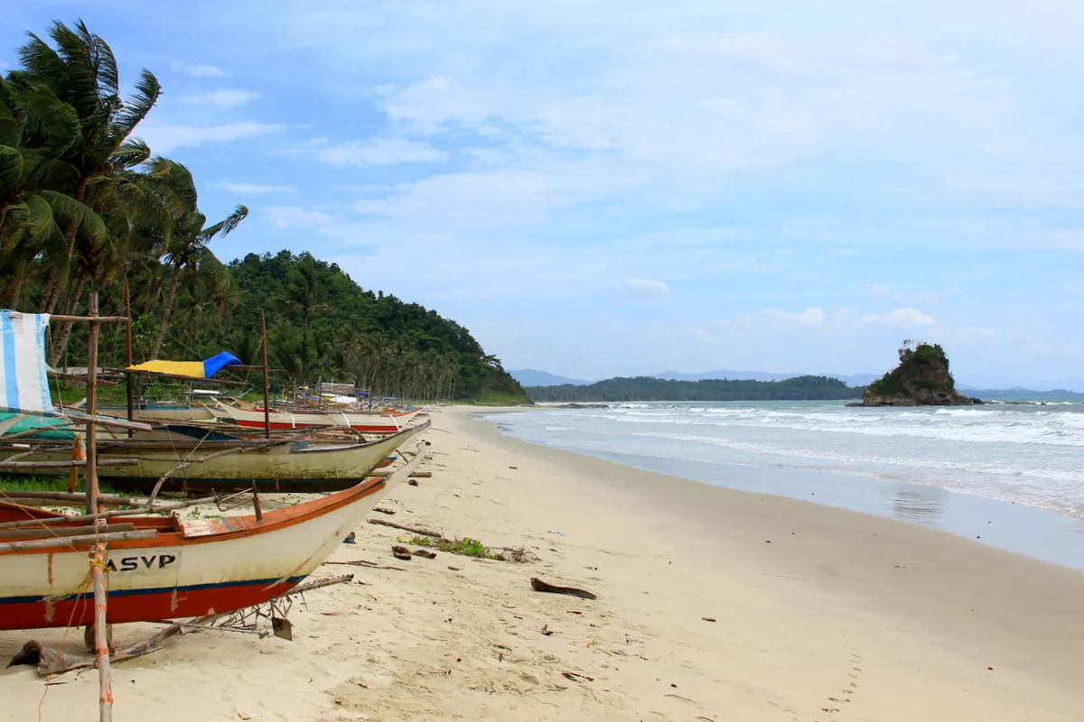
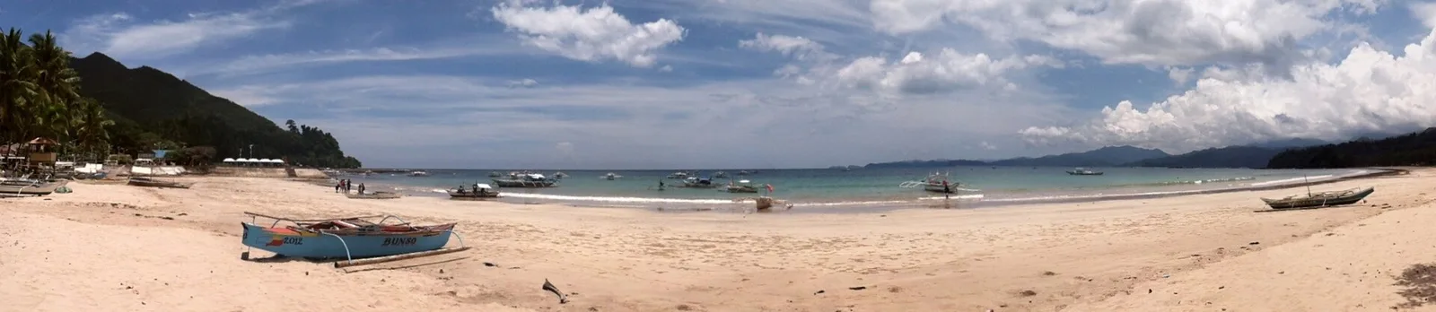
The coastline of Palawan features one of the most spectacular and diverse reliefs in the Philippines. As an elongated island situated between the Sulu Sea and the South China Sea, Palawan is characterized by a combination of rugged limestone cliffs (karst), deep coves, and long, white sandy beaches. Especially in the north, around El Nido and Coron, steep rock walls rise directly from the sea, forming hidden lagoons and complex cave systems. The underwater relief is just as dramatic, with deep abysses and extensive coral platforms. The coastal morphology is the result of complex tectonic processes and continuous marine erosion. Palawan is often referred to as the 'last frontier,' which is underscored by its wild, rugged, and largely untouched coastal relief.
- Location: Philippines
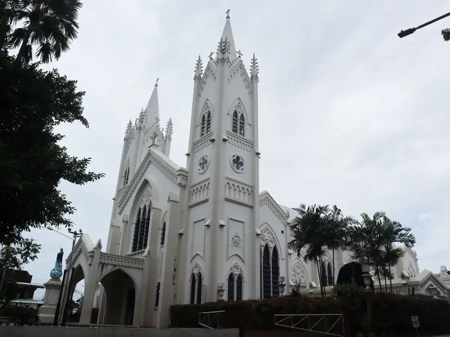
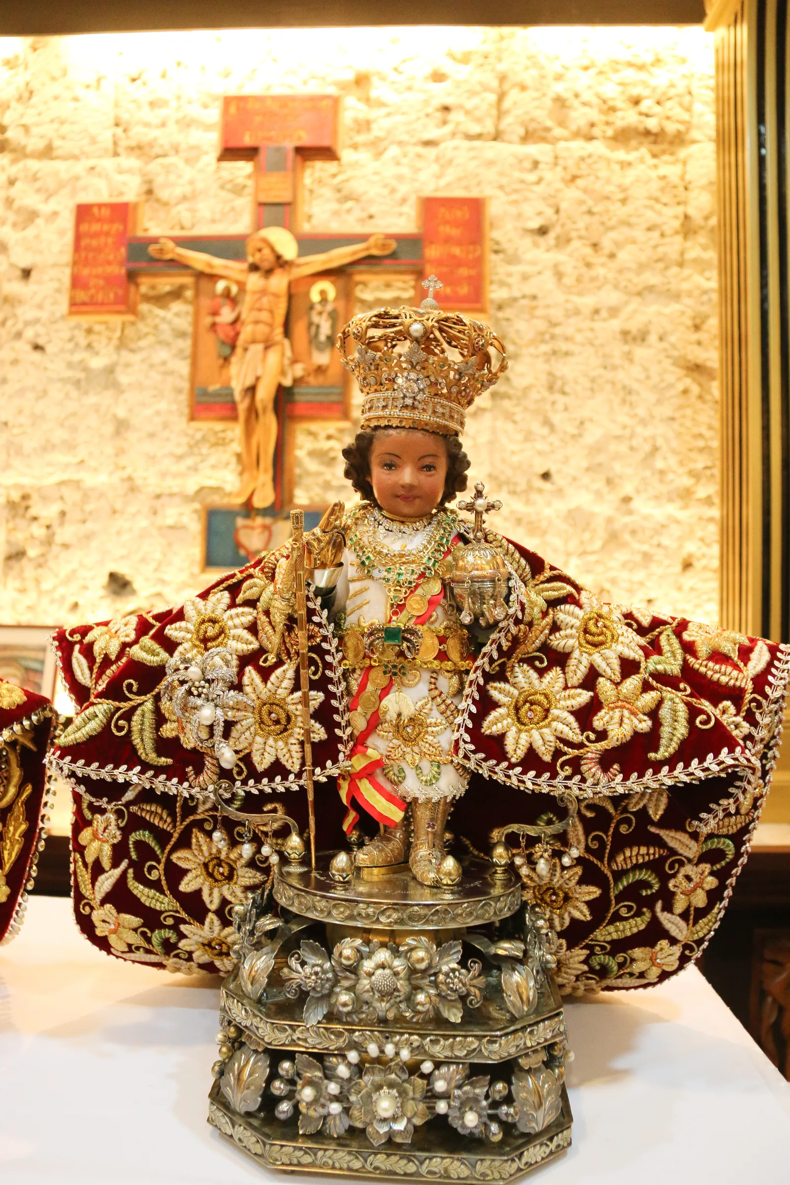
- Top sights: Douglas DC-2 Plaza Cuartel Museum · Palawan Meseum · Palawan Heritage Center
- Nearby: Bacungan (10 km)
Best time to visit & climate
The most pleasant time to visit is Jan–Mar.
| Jan | Feb | Mar | Apr | May | Jun | Jul | Aug | Sep | Oct | Nov | Dec | |
|---|---|---|---|---|---|---|---|---|---|---|---|---|
| Avg °C | 27 | 27 | 28 | 29 | 29 | 28 | 28 | 28 | 28 | 28 | 28 | 28 |
| Rain mm | 67 | 35 | 37 | 56 | 126 | 204 | 216 | 208 | 194 | 209 | 182 | 154 |
📋 Practical info
Geography
Facts
- Palawan has been voted 'World's Best Island' multiple times.
- The coastline spans over 2,000 kilometers.
- Bacuit Bay in El Nido is composed of 45 islands and islets.
- Coron is famous for its World War II shipwreck diving sites.
- The island rests on its own micro-continental plate.
- The Puerto-Princesa Subterranean River National Park is a UNESCO World Heritage site.
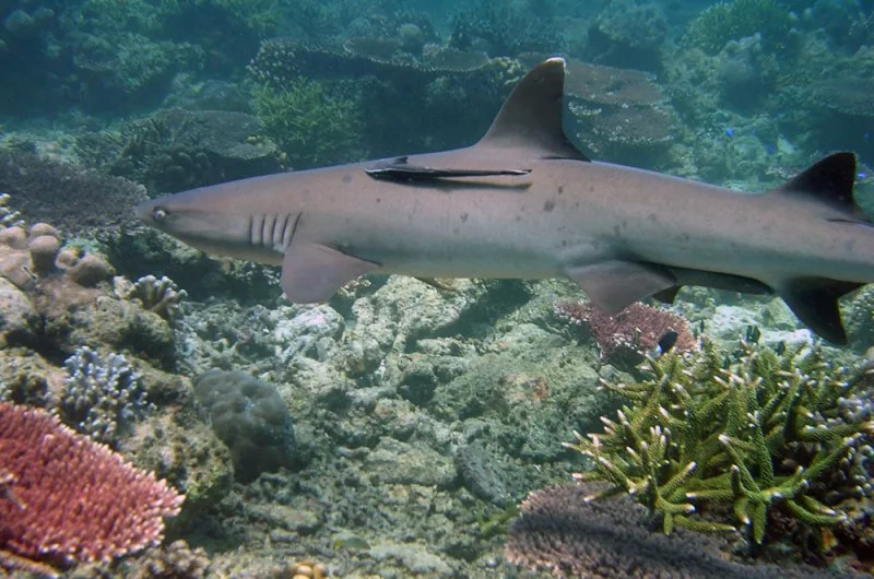
- The coast is a critical habitat for dugongs and sea turtles.
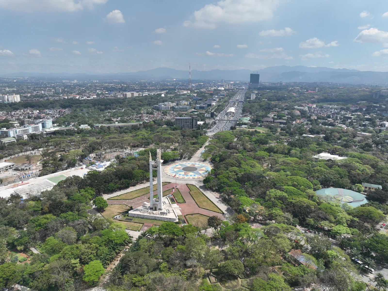
Explore nearby
Notable places around
Route planner — Car & Motorhome
Where do you start? We build the route here, with stops and country notes along the way.
© OpenStreetMap contributors · OpenRouteService
Sights in the town Palawan Coastline (12)
Sights nearby
Frequently asked questions
What is special about Palawan?
What is the best activity?
How do you travel between places?
When should you visit Palawan?
Are there resorts directly on the beach?
Palawan Coastline: where is it located?
Palawan Coastline: what is there to see?
Palawan Coastline: when is the best time to visit?
Palawan Coastline: why is it worth visiting?

Nearby cities
More places