Plizio Visual Lab
San Isidro
ℹ️Practical info — San Isidro
▾
🌤 Weather — 5 days
📍 Nearby
Sights nearby
💡 Tips
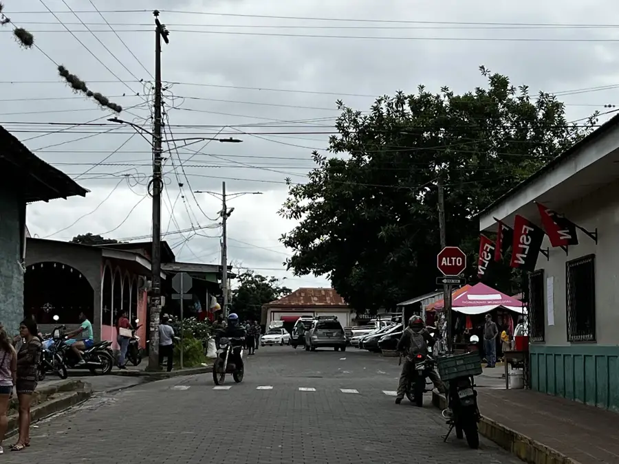
- San Isidro is a key transportation hub; use it to catch direct bus connections to León or Estelí.
- The climate is significantly hotter here than in nearby Matagalpa; wear light, breathable clothing.
- Listen for the 'cobradores' shouting destinations, as there is no central enclosed bus terminal.
- Buy water and snacks from roadside vendors, where prices are generally fair for travelers.
- The town is safe, but keep a close eye on your luggage during the busy bus transfers.
🍽 Food
The town's official traditional dish; a savory corn-based stew with shredded beef.
A unique local wine made from the cashew fruit, which is abundant in this area.
Try it at the market comedores; the locally grown rice and beans make it superior.
🛍 Shopping · 🧘 Quiet spots
San Isidro is a rice-growing center; buy fresh rice directly from the mills or market.
Seasonal treats made from the cashew fruit, often preserved in heavy syrup.
The market is a good place to buy cheap supplies of beans and local grains.
Walk along the irrigation canals on the outskirts of town through the lush green rice paddies.
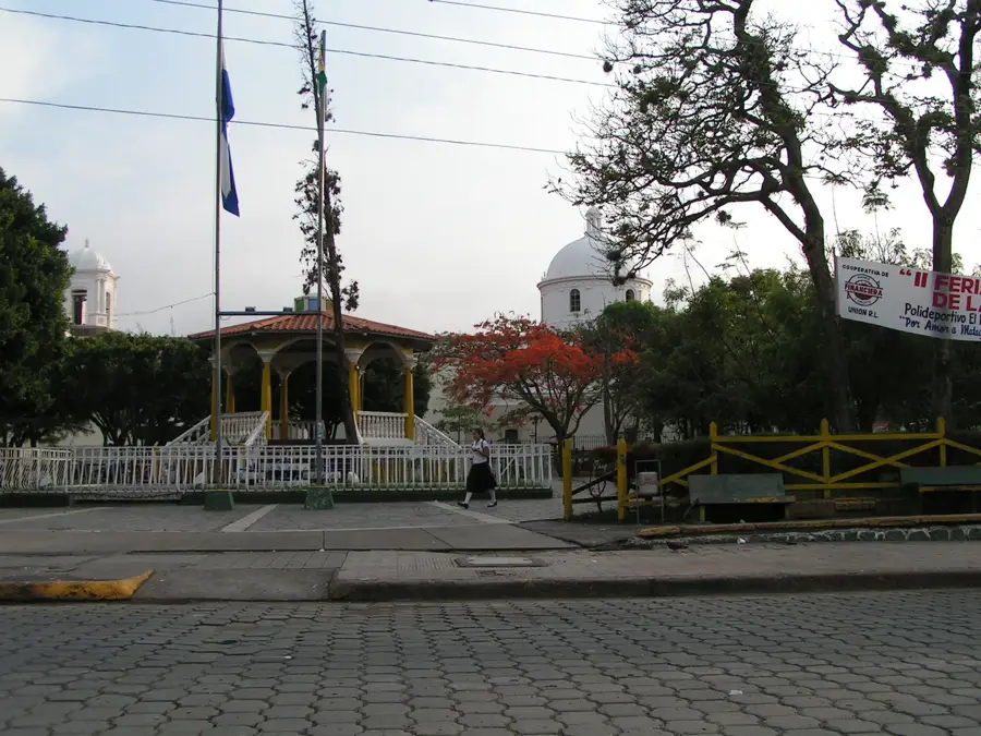
A small, shaded square in the town center, well-suited for a break while waiting for your bus.
Quiet spots along the river offer a peaceful escape from the downtown heat.
Water temperature…
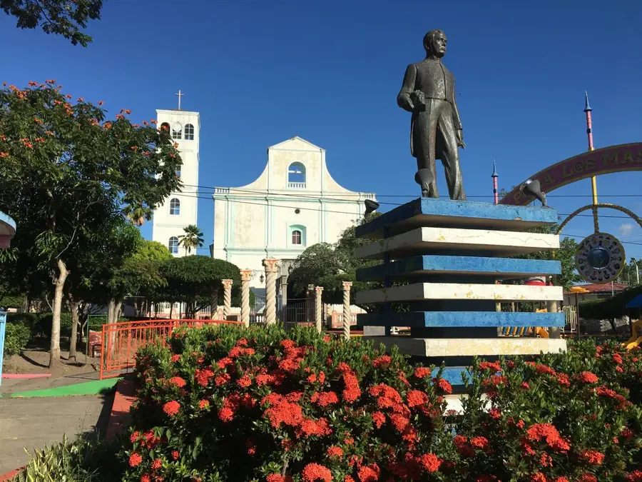
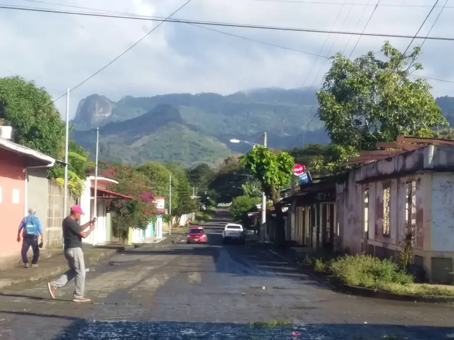
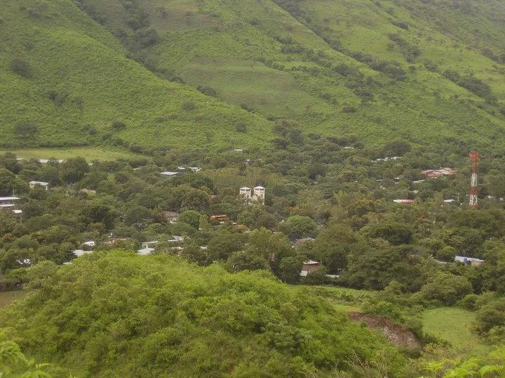
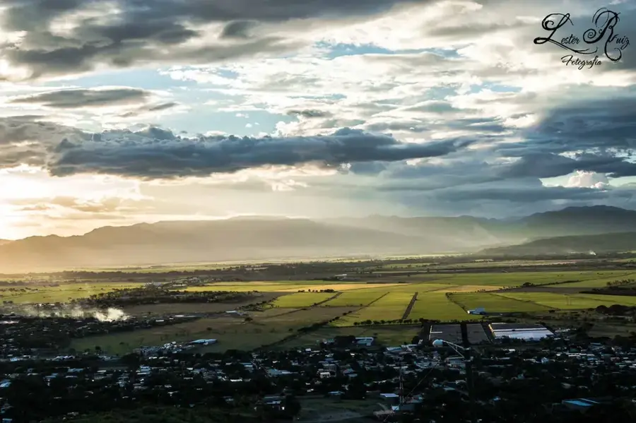
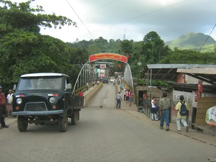
San Isidro is located in the Matagalpa Department at a strategic juncture where the Pan-American Highway traverses the fertile Sébaco Valley. Founded in 1862, the town has since developed into an essential hub for grain processing and distribution. The cultivation of rice and beans defines the local economy, with modern silos and milling facilities dominating the urban skyline. San Isidro acts as a vital link between the cool northern highlands and the hot western plains of Nicaragua. The climate is warm and relatively dry, which facilitates large-scale irrigated farming within the surrounding flatlands. The inhabitants are known for their productivity in the agro-industrial sector, and the town serves as a key transit point for long-haul traffic on the continent's most important roadway.
- Location: Nicaragua
- Nearby: Terrabona (5 km)
Best time to visit & climate
The most pleasant time to visit is Jan, Feb, Dec.
| Jan | Feb | Mar | Apr | May | Jun | Jul | Aug | Sep | Oct | Nov | Dec | |
|---|---|---|---|---|---|---|---|---|---|---|---|---|
| Avg °C | 23 | 24 | 25 | 27 | 26 | 24 | 24 | 24 | 24 | 23 | 22 | 22 |
| Rain mm | 4 | 4 | 10 | 35 | 184 | 211 | 105 | 145 | 259 | 242 | 42 | 17 |
Geography
Facts
- San Isidro was founded in the year 1862.
- It is located in the department of Matagalpa in north-central Nicaragua.
- The town is a major intersection on the Pan-American Highway.
- It serves as a critical processing center for rice and bean crops.
- The municipality is situated within a flat and fertile alluvial valley.
- It acts as a gateway for travel between the northern mountains and western plains.
Explore nearby
Notable places around
Route planner — Car & Motorhome
Where do you start? We build the route here, with stops and country notes along the way.
© OpenStreetMap contributors · OpenRouteService
Frequently asked questions
What is special about San Isidro?
What is the climate like?
Is San Isidro good for tourists?
What local specialty is there?
How is the infrastructure?
San Isidro: where is it located?
San Isidro: when is the best time to visit?
San Isidro: why is it worth visiting?

Nearby cities


History & landmarks
Nature
More places