Plizio Visual Lab
Gamprin Viewpoint 8
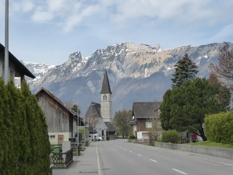
The viewpoint at the Gampriner Seelein provides a photogenic view of the only natural standing body of water in the Unterland region and the adjacent cultural landscape. Geographically, the pond is situated in a hollow at the foot of the Eschnerberg and was formed by the construction of Rhine levees and rising groundwater in the 19th century. Historically, the area was originally part of the unregulated Rhine floodplains before massive hydraulic engineering measures created the current structure. Today, the area is an important local recreation spot, ecologically enhanced by a dense belt of willows, alders, and reeds. From the elevation, one looks across the smooth water surface reflecting the surrounding mountains and the fields of the Gamprin-Bendern municipality. The pond has been protected since the 1960s to permanently secure the habitat for waterbirds and amphibians. Information boards on-site explain the formation of the water body and the specific flora adapted to the wet conditions.
- Location: Liechtenstein
- Top sights: Naturschutzgebiet Gampriner Seelein · St. Fridolin · Ruine Alt-Schellenberg
- Nearby: Nendeln (4 km)
Best time to visit & climate
The most pleasant time to visit is Jul–Sep.
| Jan | Feb | Mar | Apr | May | Jun | Jul | Aug | Sep | Oct | Nov | Dec | |
|---|---|---|---|---|---|---|---|---|---|---|---|---|
| Avg °C | -6 | -5 | -1 | 4 | 8 | 13 | 14 | 14 | 10 | 6 | 0 | -4 |
| Rain mm | 92 | 70 | 91 | 93 | 147 | 173 | 169 | 185 | 121 | 103 | 91 | 93 |
📋 Practical info
Geography
Facts
- The pond was formed following a massive Rhine flood in 1927.
- The body of water has been state-protected as a nature reserve since 1961.
- The average water depth of the small lake is approximately 6 meters.
- Rare plants such as bladderwort and water fringe grow here.
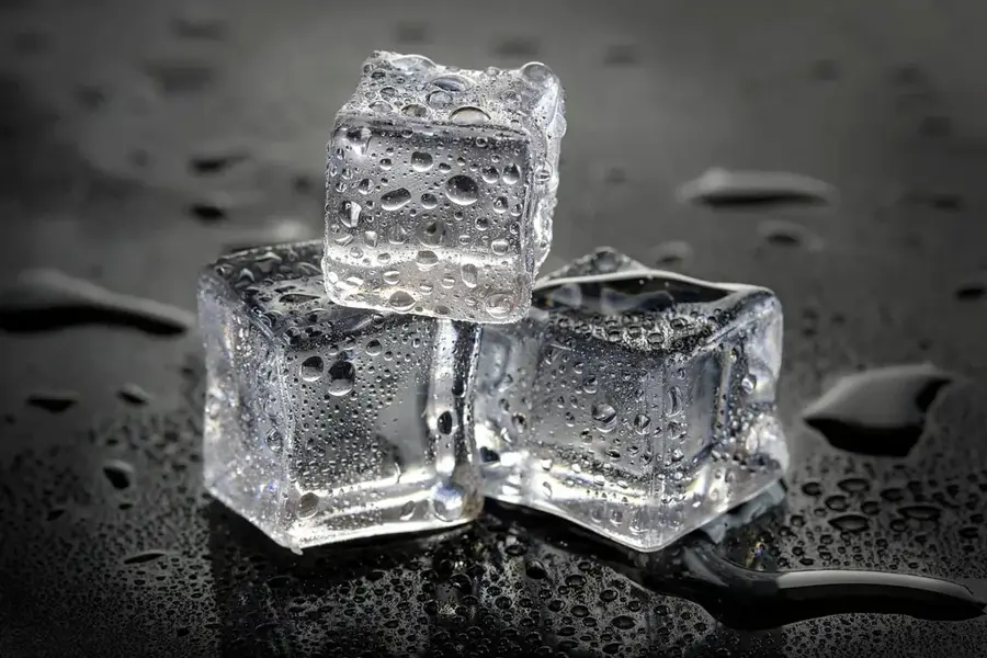
- In the winter months, the shallow lake often freezes over completely.
- Gamprin was first mentioned in a document in 1150 as 'Camporin'.
Explore nearby
Notable places around
Route planner — Car & Motorhome
Where do you start? We build the route here, with stops and country notes along the way.
© OpenStreetMap contributors · OpenRouteService
Sights in the town Gamprin Viewpoint 8 (10)
Kirche Salez
Church building in Sennwald, Switzerland, a place of worship.
Alte Wagenspur
Archaeological site in Gamprin, remains of an old cart track.
Ruine Neu-Schellenberg🏰 castle
Castle in Liechtenstein, a medieval fortress ruin.
Galgen Galgenmad
Archaeological site in Gamprin, location of a former gallows.
Musikschule
Music school in Gamprin, offering instrumental and vocal lessons.
Vogelparadies Birka
Bird park at Birkahof in Mauren, on the edge of the Birka nature reserve.
Sights nearby
Frequently asked questions
How do you reach the viewpoint?
Is there drinking water at the top?
Is the viewpoint suitable for seniors?
Can you see the Rhine from there?
Is there a shelter in case of rain?
Gamprin Viewpoint 8: where is it located?
Gamprin Viewpoint 8: what is there to see?
Gamprin Viewpoint 8: when is the best time to visit?
Gamprin Viewpoint 8: why is it worth visiting?

Nature
More places