Plizio Visual Lab
Narok
ℹ️Practical info — Narok
▾
🌤 Weather — 5 days
📍 Nearby
Sights nearby
💡 Tips
- Withdraw enough cash before heading to Maasai Mara, ATMs are sparse in the reserve.
- Expect dusty conditions; bring a bandana or scarf if traveling in open vehicles.
- Market days are busy with Maasai herders trading; respect privacy when taking photos.
- Try to fill up your gas tank here as fuel prices are higher closer to the reserve.
🍽 Food
Popular at local eateries along the main road.
Staple food, available in almost all local diners.
Served sweet and milky in local cafes.
🛍 Shopping · 🧘 Quiet spots
Beadwork, shukas (blankets) and crafts available directly from artisans.
Great for stocking up on fruits before heading to the Mara.
Good for a quiet walk outside the bustling center.
Often peaceful spots outside of service hours.
Water temperature…
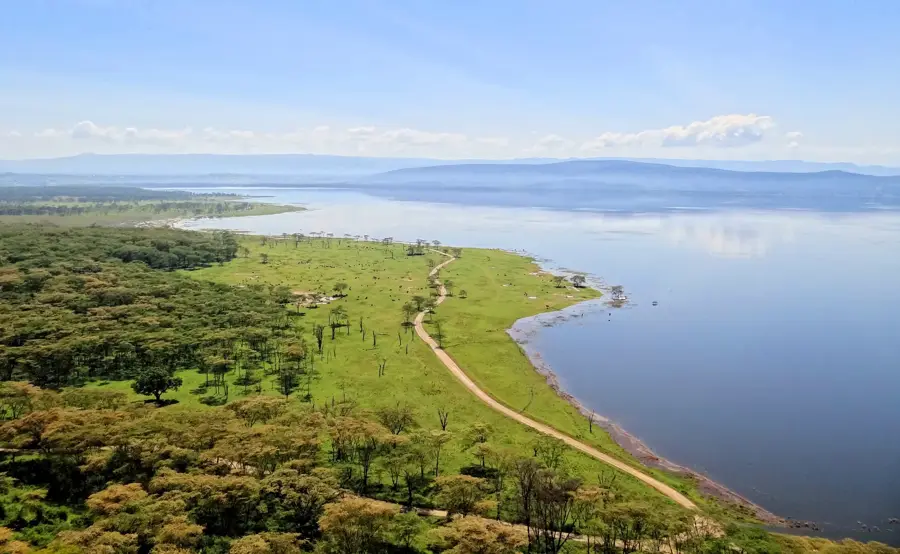
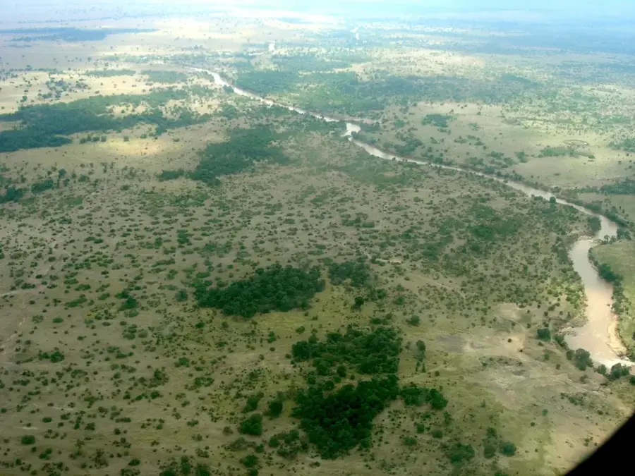
Narok is a rapidly growing town in southwestern Kenya and serves as the administrative center of Narok County, about 140 kilometers west of Nairobi. The town is primarily known worldwide as the main gateway to the Maasai Mara National Reserve, one of Africa's most famous wildlife conservation areas. Geographically, Narok is located at the edge of the Great Rift Valley and is surrounded by fertile highlands that are intensively farmed. The local economy benefits massively from tourism, but it is also a significant hub for the cultivation of wheat and barley, earning the town the nickname of Kenya's "breadbasket." Historically and culturally, Narok is deeply rooted in Maasai tradition, serving as a central marketplace for their traditional livestock trade. The Enkare Narok River flows through the town, providing an essential water source, though it occasionally causes flooding during the rainy season. The town has experienced a construction boom in recent decades, reflected in the emergence of modern shopping centers and educational institutions such as Maasai Mara University.
- Location: Kenya
- Nearby: Bomet (64 km)
- Population: ~65.430 (2023)
Best time to visit & climate
The most pleasant time to visit is Jan, Feb, Sep.
| Jan | Feb | Mar | Apr | May | Jun | Jul | Aug | Sep | Oct | Nov | Dec | |
|---|---|---|---|---|---|---|---|---|---|---|---|---|
| Avg °C | 18 | 19 | 19 | 18 | 16 | 15 | 15 | 16 | 17 | 18 | 17 | 18 |
| Rain mm | 64 | 45 | 113 | 197 | 141 | 68 | 46 | 62 | 64 | 87 | 115 | 94 |
Geography
Facts
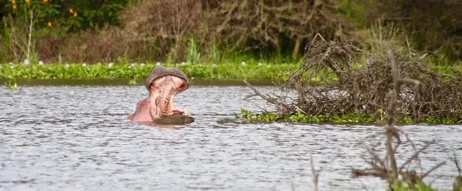
- Narok is the gateway to the Maasai Mara, which covers 1,510 square kilometers.
- The town sits at an elevation of 1,827 meters above sea level.
- Narok was officially founded as an administrative center in 1913.
- Approximately 25% of Kenya’s wheat production comes from Narok County.
- Maasai Mara University was established as a chartered university in 2013.
- The Enkare Narok River, flowing through the town, is 150 km long.
Explore nearby
Notable places around
Route planner — Car & Motorhome
Where do you start? We build the route here, with stops and country notes along the way.
© OpenStreetMap contributors · OpenRouteService
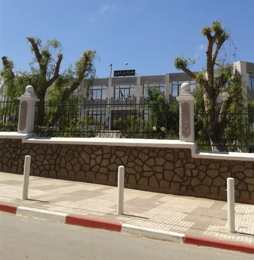
Sights in the town Narok (1)
Frequently asked questions
Why do tourists often stop in Narok?
What can you buy in Narok?
When is the best time to visit Masai Mara?
How is the road from Nairobi to Narok?
Which culture dominates in Narok?
Narok: where is it located?
Narok: when is the best time to visit?
Narok: why is it worth visiting?

Nearby cities
History & landmarks
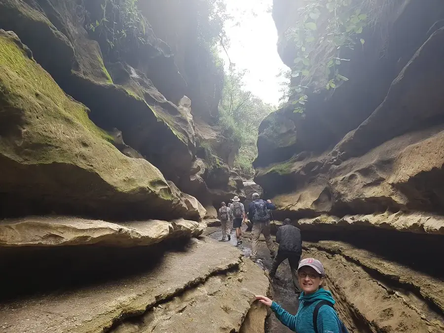
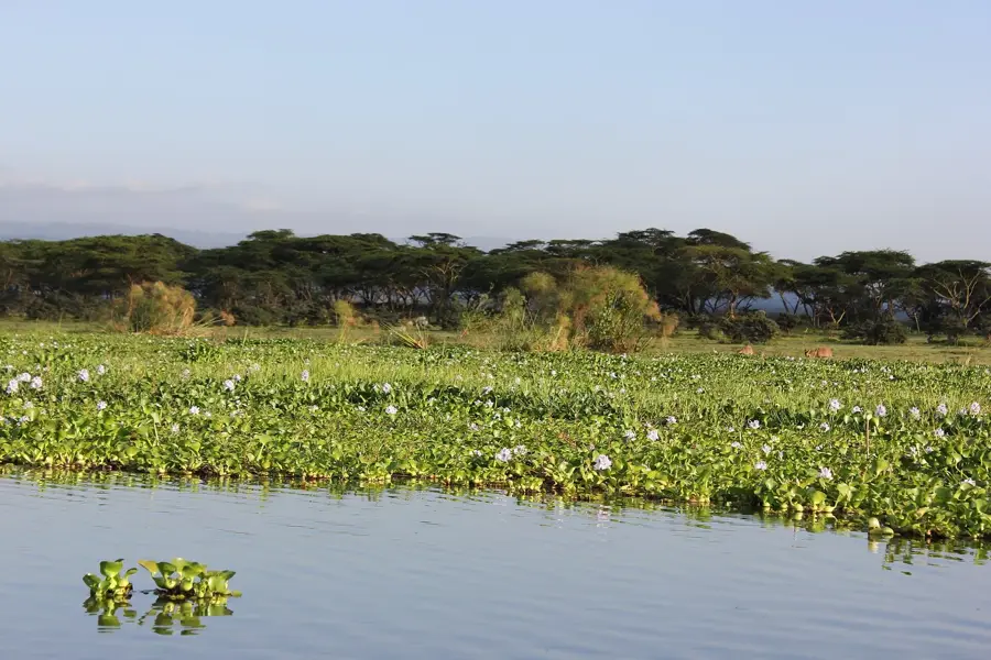
Nature

More places