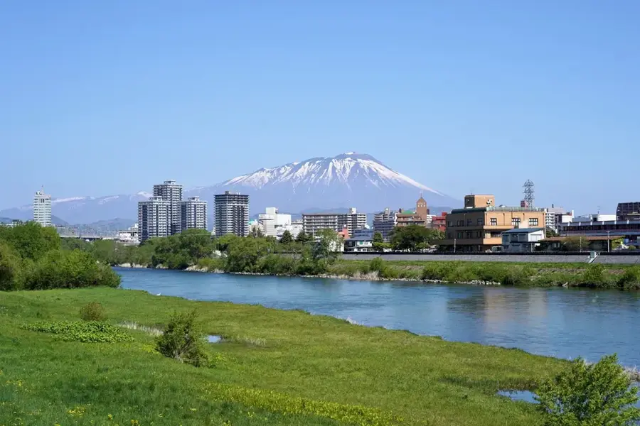
Plizio Visual Lab

Sanriku Coast

Plizio editorial teamData Sources
coast
—°4
Sanriku Coast (Japan)

Weather…

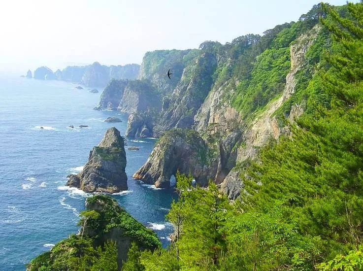
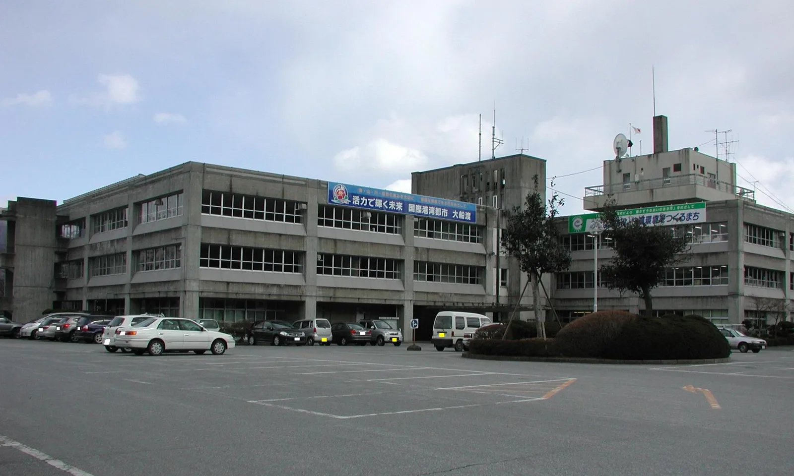
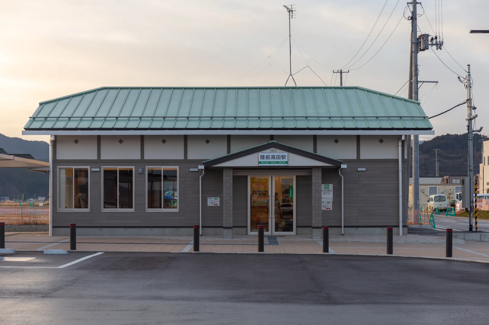
Sanriku Coast is a remarkable feature of the geography and culture of Japan. A ria coastline with countless bays, capes, and cliffs. The region was severely affected by the 2011 tsunami. Stretches for over 600 km. Rich in fishing grounds. Part of the Sanriku Fukko (Reconstruction) National Park. This landform shapes the topography of Japan, between the main islands of Honshu, Hokkaido, Kyushu, and Shikoku, dominated by volcanic mountain ranges. Like many notable places in Japan, it combines regional character with the legacy of the samurai tradition, Shinto and Buddhist heritage, and the modern industrial nation. Thus, this place contributes to the diverse profile of Japan, from Mount Fuji and Tokyo to the volcanic island arc along the Pacific.

Best time to visit & climate

The most pleasant time to visit is Jun–Aug.

JanFebMarAprMayJunJulAugSepOctNovDec
Avg °C-1-12712172022191372
Rain mm6444831061101221801671671558081

📋 Practical info

🧭
Getting there
The coastline is typically accessed via the Sanriku Railway or coastal highways connecting major port towns. Many scenic capes and bays have dedicated approach roads leading from the main transportation arteries.
📅
Best season
Summer brings warmer weather well-suited for coastal views, while autumn displays striking coastal foliage. Winter can be cold and windy, but provides exceptionally clear skies to observe the dramatic cliffs.
⛰️
Terrain & paths
The ria coast features rugged cliffs, steep coastal paths, and undulating terrain leading down to hidden bays. Some walking trails are well-maintained, while others remain challenging and uneven due to the rocky geology.
🎒
What to bring
Sturdy hiking boots are necessary for exploring the rocky capes securely. Windproof layers are highly recommended year-round due to strong ocean breezes along the exposed cliff sides.
🅿️
Parking
Designated parking areas are usually found at popular viewpoints, scenic spots, and memorial parks along the route. Space might be limited during peak holiday seasons, requiring early arrival.
⚠️
Safety
Pay close attention to tsunami warning signs and evacuation routes prevalent in the area. Stay well back from cliff edges, as strong winds and unstable rocks can present severe fall hazards.
⏱️
Time needed
Exploring a specific bay or cape typically takes one to three hours of moderate walking. A comprehensive drive along the coastline with multiple stops can easily occupy an entire weekend.

Geography

Coordinates
39.63000, 141.97000

Facts

  • A ria coastline with countless bays, capes, and cliffs. The region was severely affected by the 2011 tsunami.
  • Located within the island nation of Japan in the North Pacific.
  • Plays a role in the local identity of the region.
  • Known for its scenic or cultural significance.

Explore nearby

Notable places around

Route planner — Car & Motorhome

Where do you start? We build the route here, with stops and country notes along the way.

Vehicle
Only stops with (optional):

© OpenStreetMap contributors · OpenRouteService

Sights in the town Sanriku Coast (4)

Takonohama Beach Viewpoint🌿 nature

Viewpoint offering panoramic vistas of the rugged Sanriku coastline.

Sakiyama Shell Mound Jomon-no-mori Museum🏛 museum

Museum preserving prehistoric shell mounds and artifacts from the Jomon period.

Jōdogahama🎡 recreation

Iconic beach known for its jagged white rhyolite rocks and calm blue waters.

Zuiunji📍 landmark

Peaceful Buddhist temple situated near the scenic Sanriku shore.

Sights nearby

Frequently asked questions

What defines the Sanriku Coast?
Its dramatic cliffs, deeply indented bays (rias coast), and impressive rock formations.
Which place on the coast is particularly famous?
Jodogahama in Miyako is famous for its calm waters and white rock formations resembling a Buddhist paradise.
Can you take boat tours?
Yes, boat tours are available in areas like Kitayamazaki to view the massive sea cliffs from the water.
How is the region today after the 2011 tsunami?
Much has been rebuilt, and memorials as well as the Sanriku Fukkō National Park commemorate the recovery efforts.
Is there good seafood available there?
Yes, the region is famous for fresh oysters, sea urchin (uni), and seaweed harvested from the Pacific.
Sanriku Coast: where is it located?
Sanriku Coast is located in Japan.
Sanriku Coast: what is there to see?
Highlights include Takonohama Beach Viewpoint, Sakiyama Shell Mound Jomon-no-mori Museum, Jōdogahama.
Sanriku Coast: when is the best time to visit?
The most pleasant time to visit is Jun, Aug.
Sanriku Coast: why is it worth visiting?
Sanriku Coast is a remarkable feature of the geography and culture of Japan.
View on map → The Top 50 Attractions → OpenStreetMap →
Asia
Explore with Plizio Discover more places in Asia
More places in Japan →

Nearby cities

More places