Plizio Visual Lab
Saut-Mathurine
ℹ️Practical info — Saut-Mathurine
▾
🌤 Weather — 5 days
📍 Nearby
Sights nearby
Water temperature…
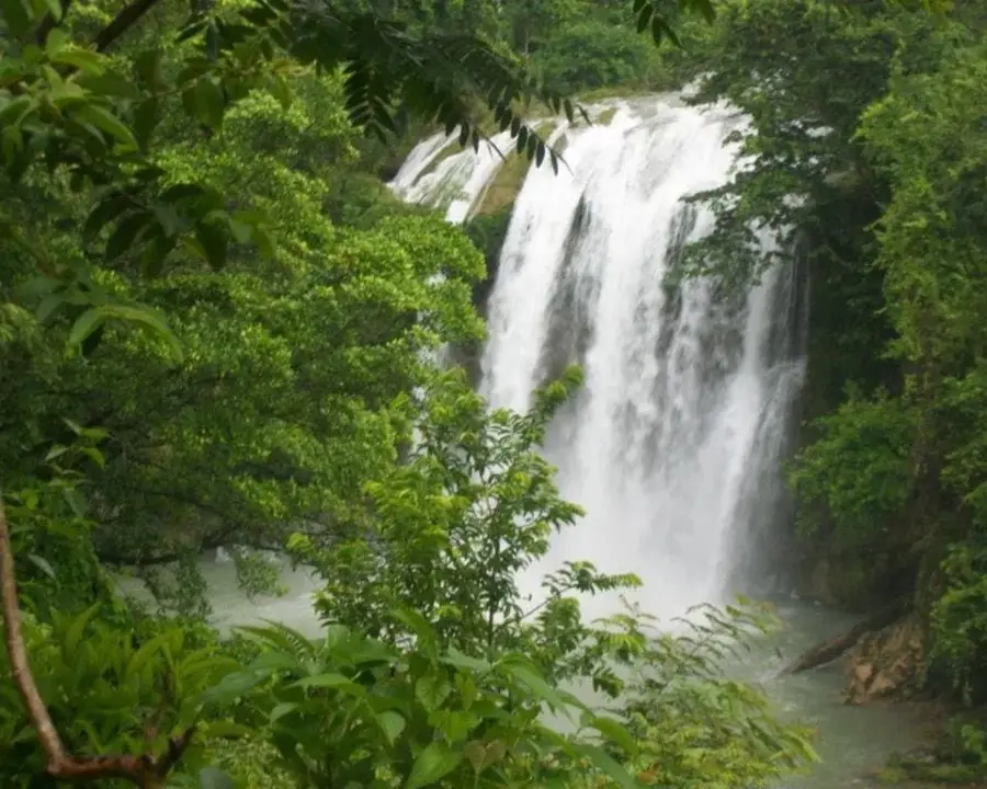
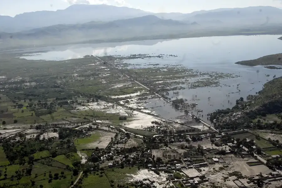
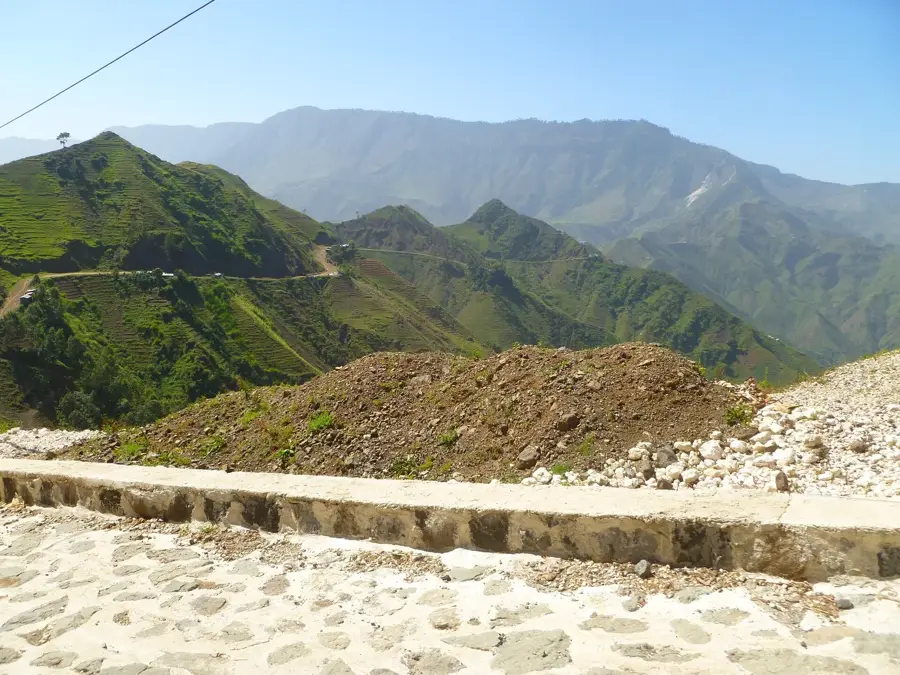
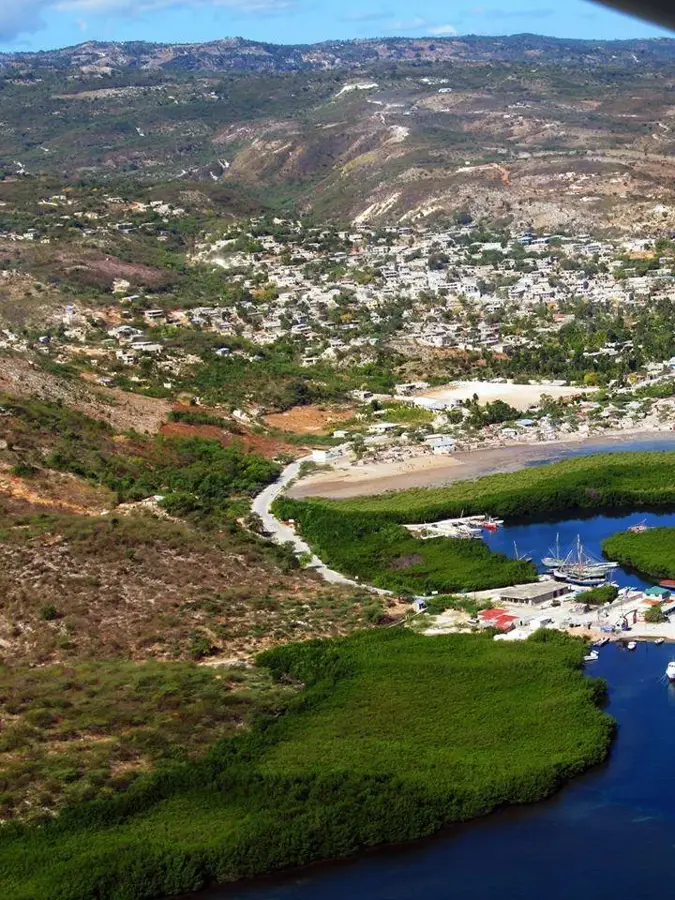
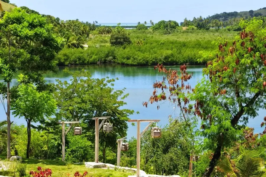
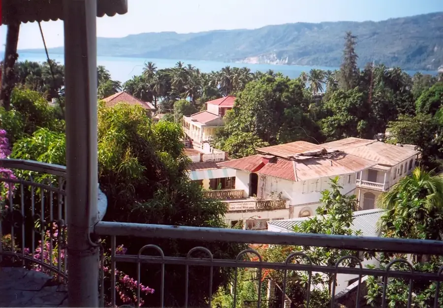
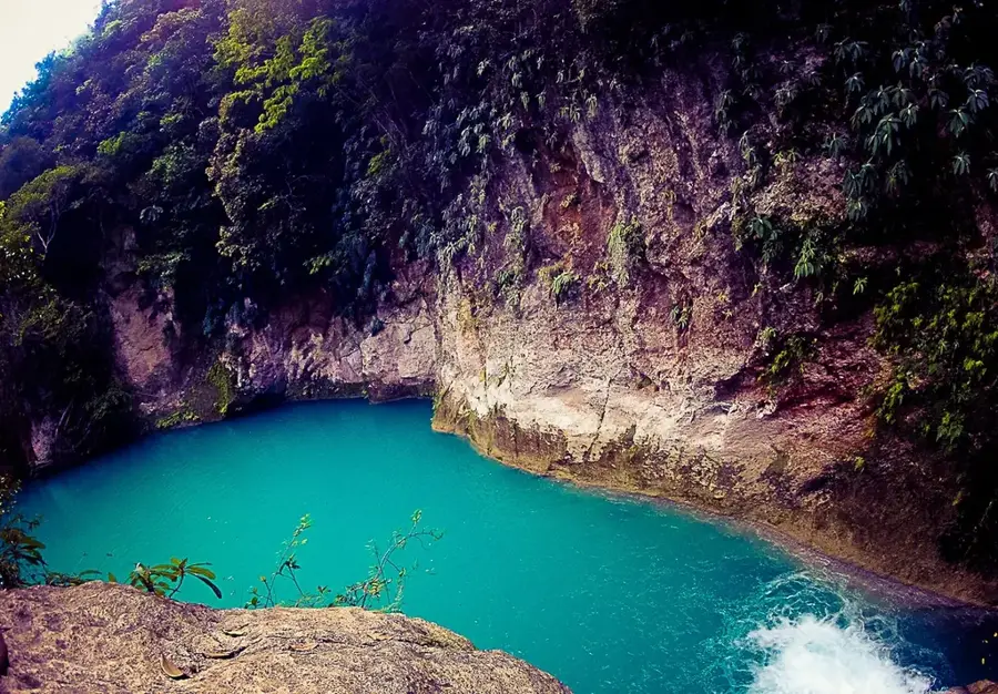
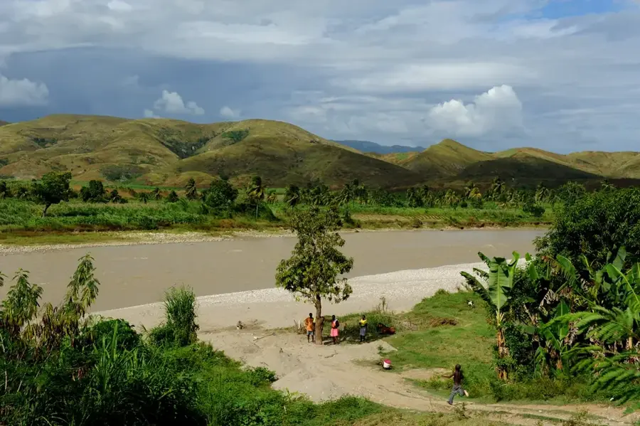
Saut-Mathurine is the largest waterfall in Haiti, situated near the town of Camp-Perrin in the southern department. Here, the Cavaillon River plunges approximately 30 meters over a wide rock face, creating a thunderous white curtain of spray and foam. The expansive pool at its base is great for swimming, offering a refreshing sanctuary from the tropical sun. The surrounding mountainous terrain is draped in spirited, dense vegetation, providing excellent trails for hikers and nature enthusiasts. Remarkably, the waterfall's hydraulic power is harnessed to provide electricity for the surrounding communities, showcasing a blend of natural beauty and sustainable utility. The local ecosystem is exceptionally rich, featuring various endemic plant species and groves of tropical fruits like mango and avocado. Travelers favor Saut-Mathurine for its sheer scale and its relative accessibility compared to more remote hidden falls. In the nearby Camp-Perrin area, one can witness the authentic rural lifestyle and crafts of Haiti. The optimal visiting season spans from November to March, when the weather is dry but the river flow remains powerful. Reaching the site involves traveling from Les Cayes and heading north into the scenic mountains. Saut-Mathurine is an essential stop for anyone wanting to experience the raw power and beauty of the Haitian landscape.
- Location: Haiti
- Nearby: Les Cayes (11 km)
Best time to visit & climate
The most pleasant time to visit is Jan–Mar.
| Jan | Feb | Mar | Apr | May | Jun | Jul | Aug | Sep | Oct | Nov | Dec | |
|---|---|---|---|---|---|---|---|---|---|---|---|---|
| Avg °C | 25 | 26 | 26 | 27 | 28 | 28 | 28 | 29 | 28 | 28 | 27 | 26 |
| Rain mm | 29 | 19 | 24 | 30 | 69 | 60 | 48 | 64 | 74 | 119 | 75 | 34 |
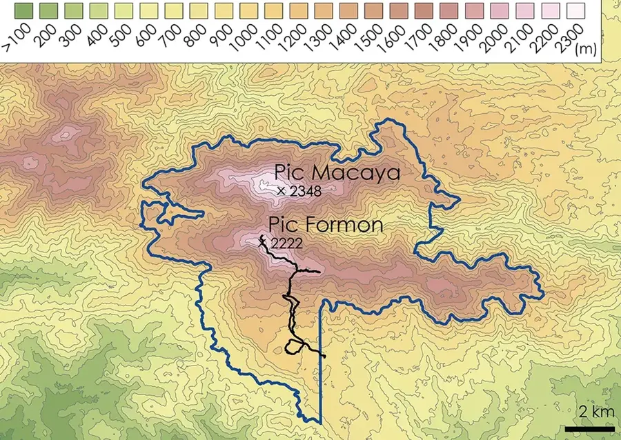
Geography
Facts
- Largest waterfall in all of Haiti
- Stands approximately 30 meters high
- Harnesses water for local hydroelectricity
- Expansive natural swimming basin
- Located in the Camp-Perrin highlands
- Fed by the Cavaillon River
- Surrounded by lush mango and avocado groves
- Famed for its thunderous sound and spray
Explore nearby
Notable places around
Route planner — Car & Motorhome
Where do you start? We build the route here, with stops and country notes along the way.
© OpenStreetMap contributors · OpenRouteService
Frequently asked questions
Saut-Mathurine: where is it located?
Saut-Mathurine: when is the best time to visit?
Saut-Mathurine: why is it worth visiting?

Nearby cities


History & landmarks


Nature
More places