Plizio Visual Lab
Río Dulce

ℹ️Practical info — Río Dulce
▾
🌤 Weather — 5 days
📍 Nearby
Sights nearby
Water temperature…
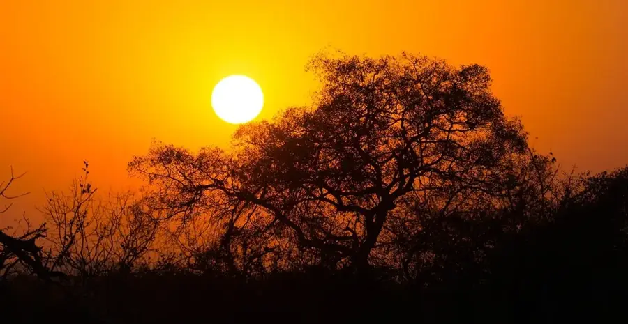
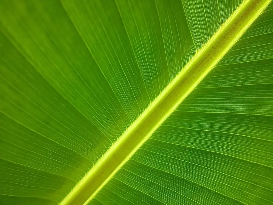
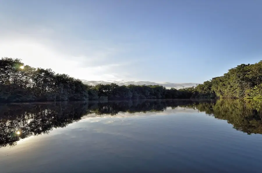
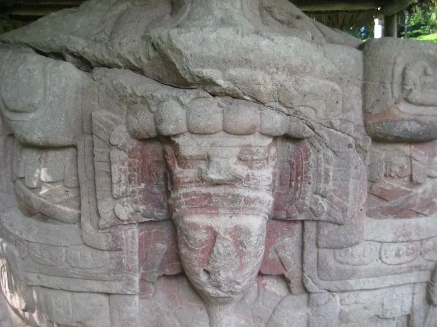
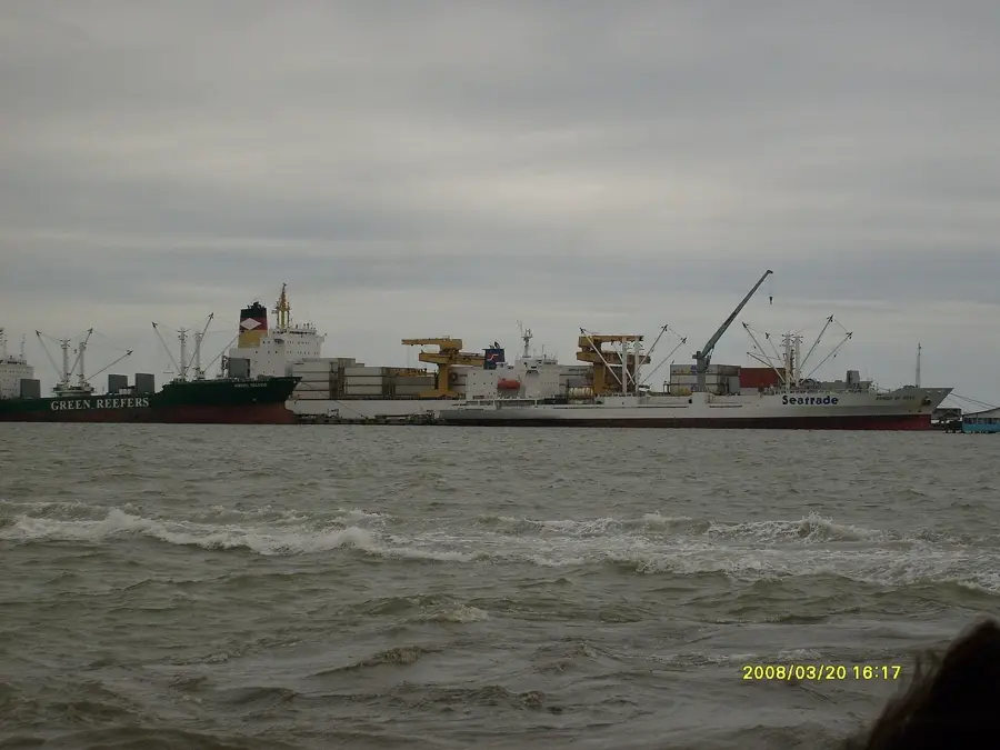
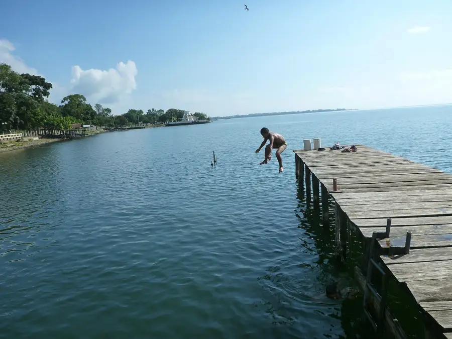
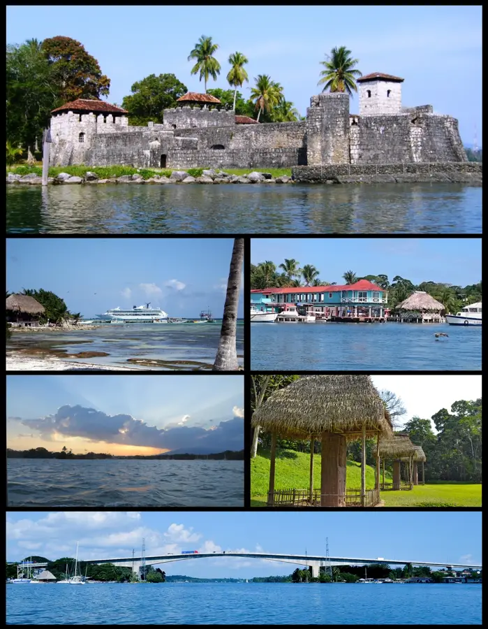
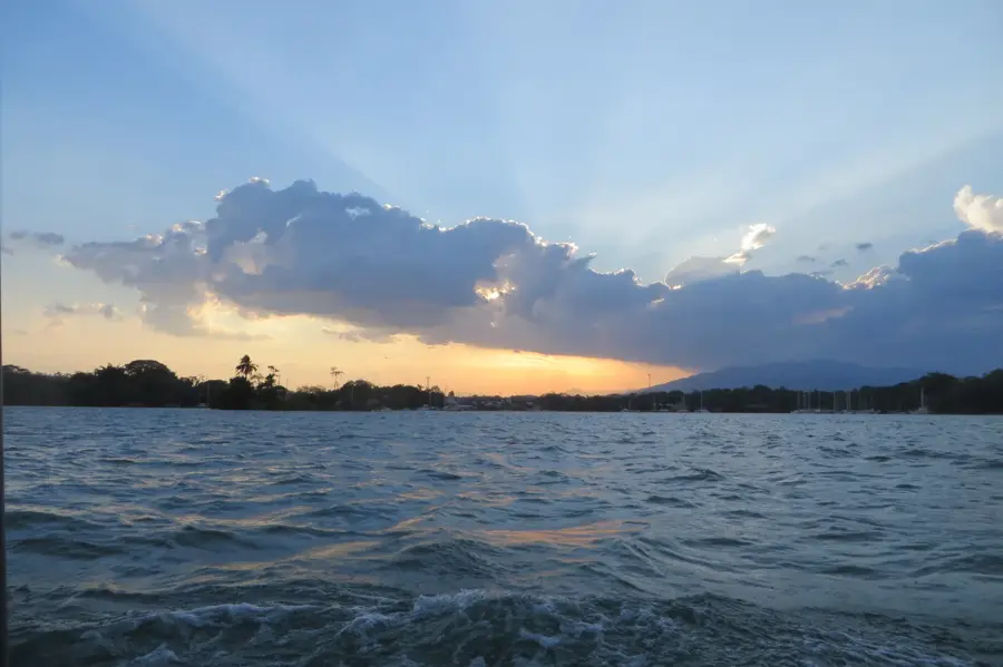
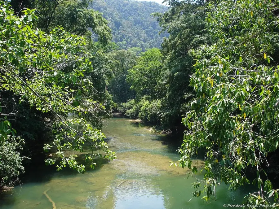
Río Dulce is both a majestic river and a town in the Izabal department, acting as a bridge between Lake Izabal and the Caribbean Sea. The river flows through a spectacular limestone canyon with sheer walls covered in lush rainforest. A key historical landmark is the Castillo de San Felipe de Lara, a 17-century Spanish colonial fort built to defend the area against Caribbean pirates. The boat journey down the river to the town of Livingston is considered one of the most beautiful trips in Central America, passing by floating lily fields and bird-filled mangroves. Many of the best eco-lodges are tucked away along the riverbanks, accessible only by water, providing a serene escape. Natural hot springs along the shore also offer a unique place to relax in the tropical heat. Getting to Río Dulce is straightforward via public bus from Guatemala City, a trip of about 5-6 hours. The climate is hot and humid year-round, typical of the Caribbean lowlands. The best time to visit is during the drier months from January to April. It is a world-class destination for sailors and nature enthusiasts looking to experience a different, more tropical side of Guatemala.
- Location: Guatemala
- Top sights: Dulce River (Guatemala) · Chocón Machacas River · Lake El Golfete
- Nearby: Morales (6 km)
Best time to visit & climate
The most pleasant time to visit is Jan–Mar.
| Jan | Feb | Mar | Apr | May | Jun | Jul | Aug | Sep | Oct | Nov | Dec | |
|---|---|---|---|---|---|---|---|---|---|---|---|---|
| Avg °C | 22 | 23 | 24 | 26 | 27 | 26 | 25 | 25 | 25 | 24 | 23 | 22 |
| Rain mm | 105 | 78 | 61 | 51 | 127 | 214 | 188 | 195 | 227 | 205 | 174 | 113 |
Geography
Facts
- Connects Lake Izabal to the Caribbean Sea
- Site of the historic Castillo de San Felipe
- Habitat for rare West Indian manatees
- Features a dramatic 100m deep canyon
- Livingston is only accessible by boat
- Home to a vast array of migratory birds
- Natural sulfur hot springs along the river
- Major international hub for sailing yachts
Explore nearby
Notable places around
Route planner — Car & Motorhome
Where do you start? We build the route here, with stops and country notes along the way.
© OpenStreetMap contributors · OpenRouteService
Sights in the town Río Dulce (3)
Frequently asked questions
Río Dulce: where is it located?
Río Dulce: what is there to see?
Río Dulce: when is the best time to visit?
Río Dulce: why is it worth visiting?

Nearby cities
Nature
More places