Plizio Visual Lab
Saaremaa Island
Weather…
Water temperature…
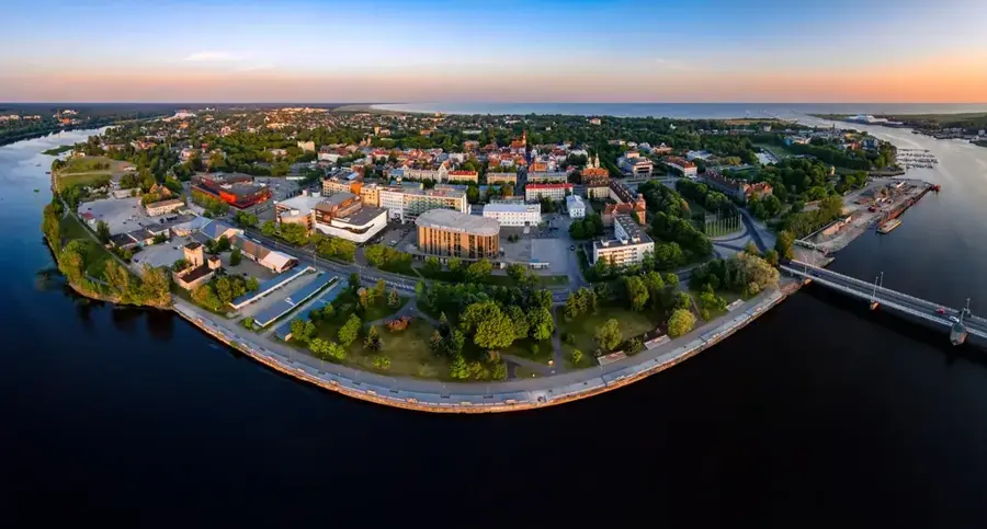
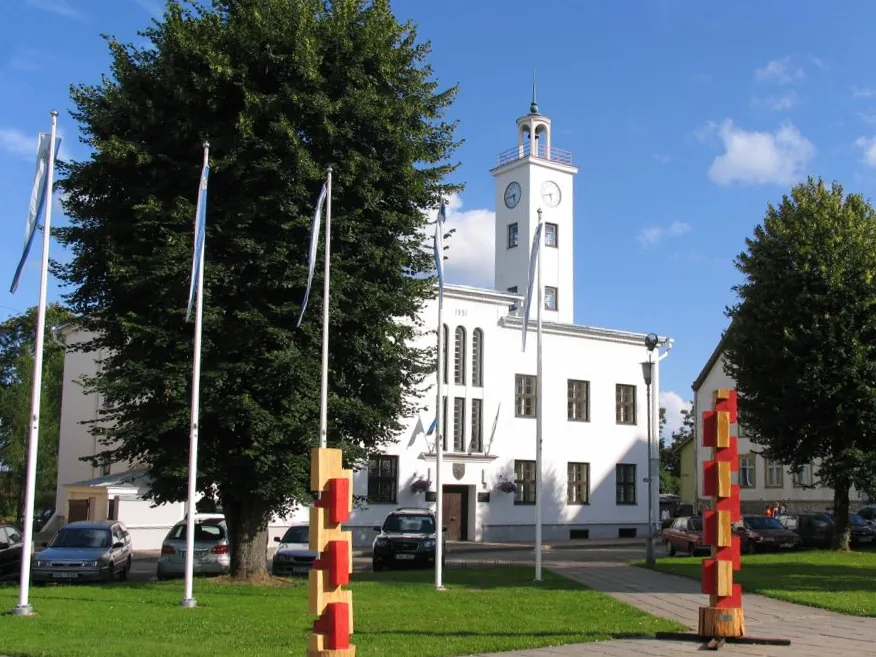
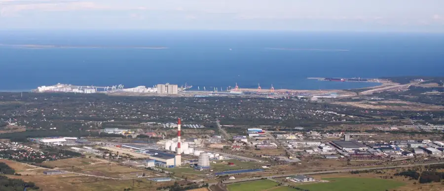
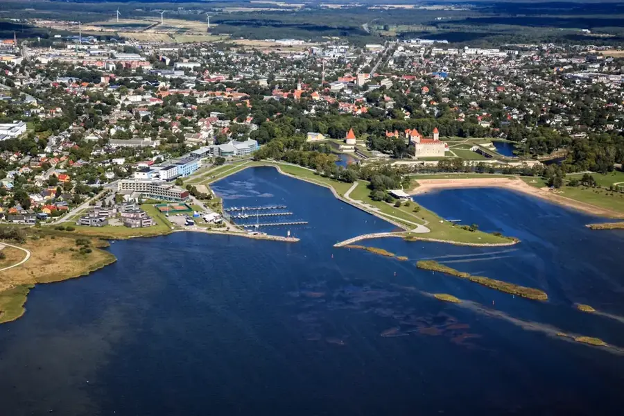
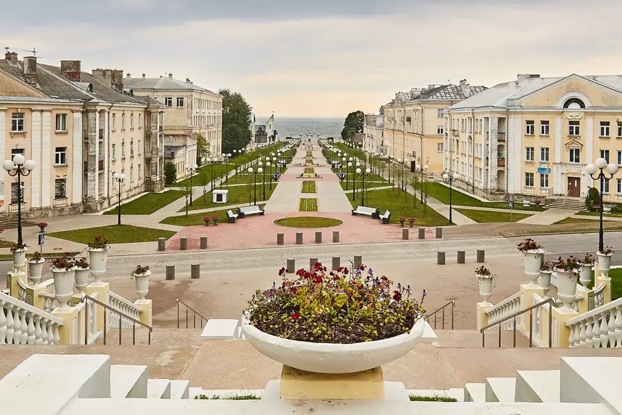
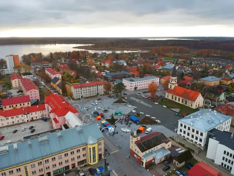
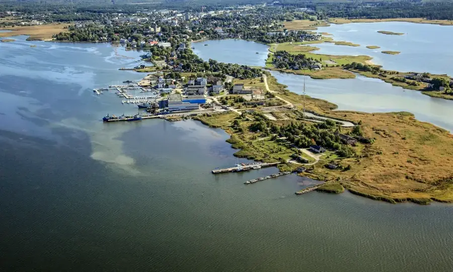
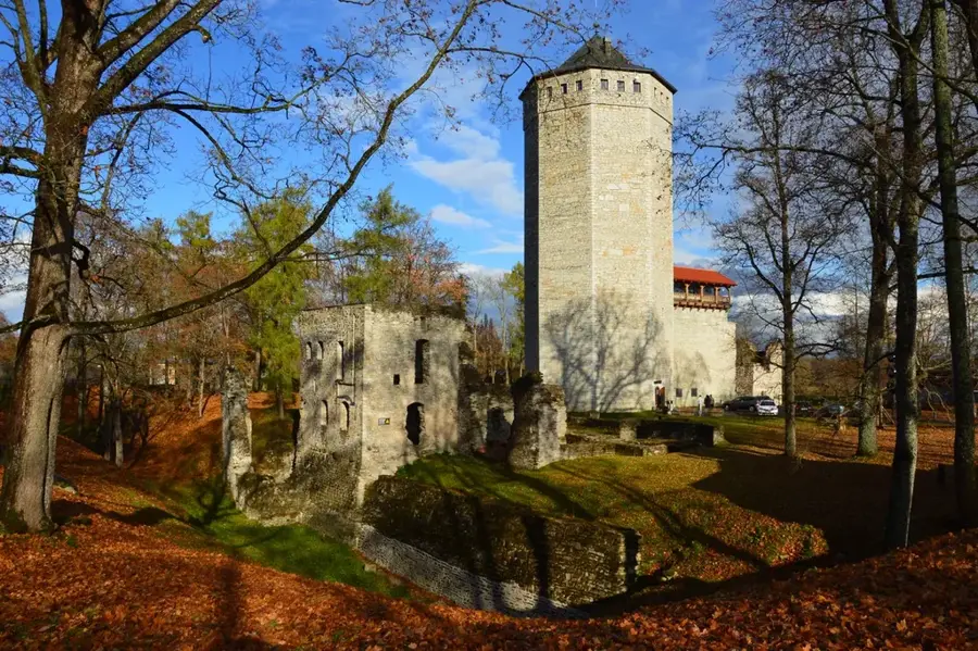
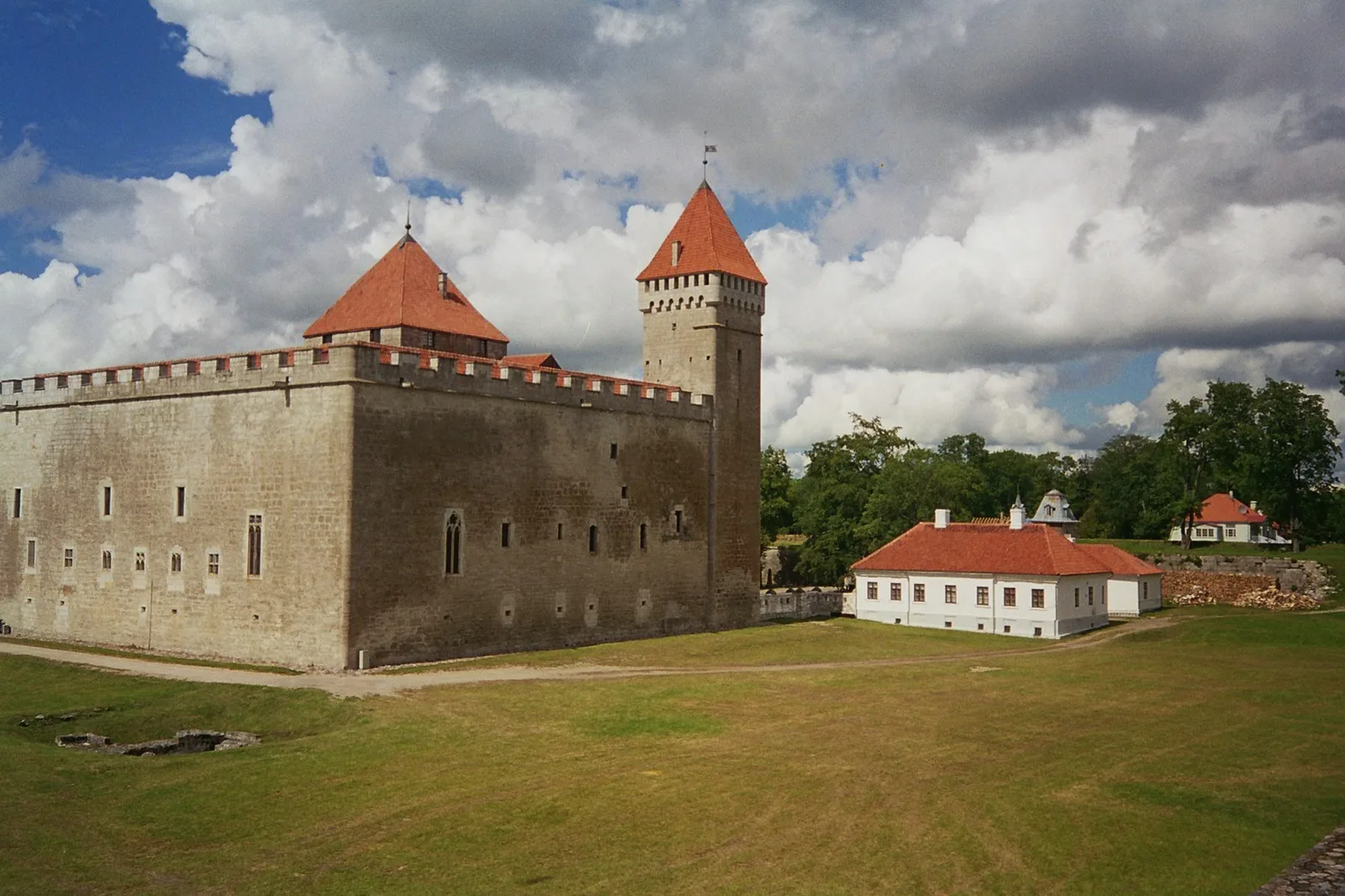
Saaremaa is Estonia's largest island and a treasure trove of natural beauty and cultural heritage located in the Baltic Sea. Known for its distinct landscape of limestone cliffs, juniper groves, and iconic wooden windmills, the island has a slower pace of life rooted in centuries-old traditions. Its main town, Kuressaare, is home to a magnificent 14th-century episcopal castle, which remains remarkably intact. A major scientific and tourist draw is the Kaali meteorite crater field, one of the best-preserved impact sites in Europe and a significant archaeological location. Saaremaa's coastline features the dramatic Panga Cliff, reaching heights of 21 meters, providing remarkable views of the Baltic horizon. The island is also a haven for wildlife, with Vilsandi National Park serving as the oldest nature reserve in the Baltics, protecting rare bird species and grey seals. Local culture is celebrated through traditional festivals, unique island dialects, and artisanal products like home-brewed beer and dark rye bread. For those seeking relaxation, Saaremaa has become a premier destination for spa tourism, blending modern comfort with the island's serene, untouched environment.
- Location: Estonia, Estonia
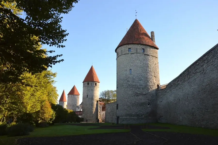
- Top sights: Saaremaa · Battle of Ösel Island · Hübja
- Nearby: Kaali (10 km)
Best time to visit & climate
The most pleasant time to visit is Jun–Aug.
| Jan | Feb | Mar | Apr | May | Jun | Jul | Aug | Sep | Oct | Nov | Dec | |
|---|---|---|---|---|---|---|---|---|---|---|---|---|
| Avg °C | -2 | -3 | 0 | 4 | 10 | 14 | 18 | 18 | 14 | 8 | 4 | 1 |
| Rain mm | 54 | 45 | 40 | 38 | 38 | 59 | 60 | 74 | 56 | 66 | 71 | 58 |
📋 Practical info
Geography
Facts
- Saaremaa covers an area of 2,673 square kilometers, making it Estonia's largest island.
- The Kaali meteorite impact occurred approximately 3,500 years ago.
- Panga Cliff is the highest limestone outcrop on the island, standing at 21.3 meters.
- Kuressaare Castle is the only medieval stone fortress in the Baltics that hasn't been significantly damaged.
- The island has its own unique breed of horse, the Estonian Native horse, found in local farms.
- Vilsandi National Park, established as a bird sanctuary in 1910, is the oldest in the region.
Explore nearby
Notable places around
Route planner — Car & Motorhome
Where do you start? We build the route here, with stops and country notes along the way.
© OpenStreetMap contributors · OpenRouteService
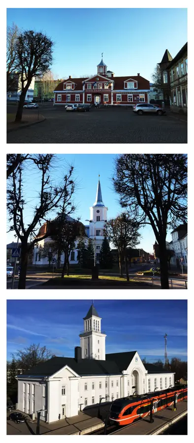
Sights in the town Saaremaa Island (3)
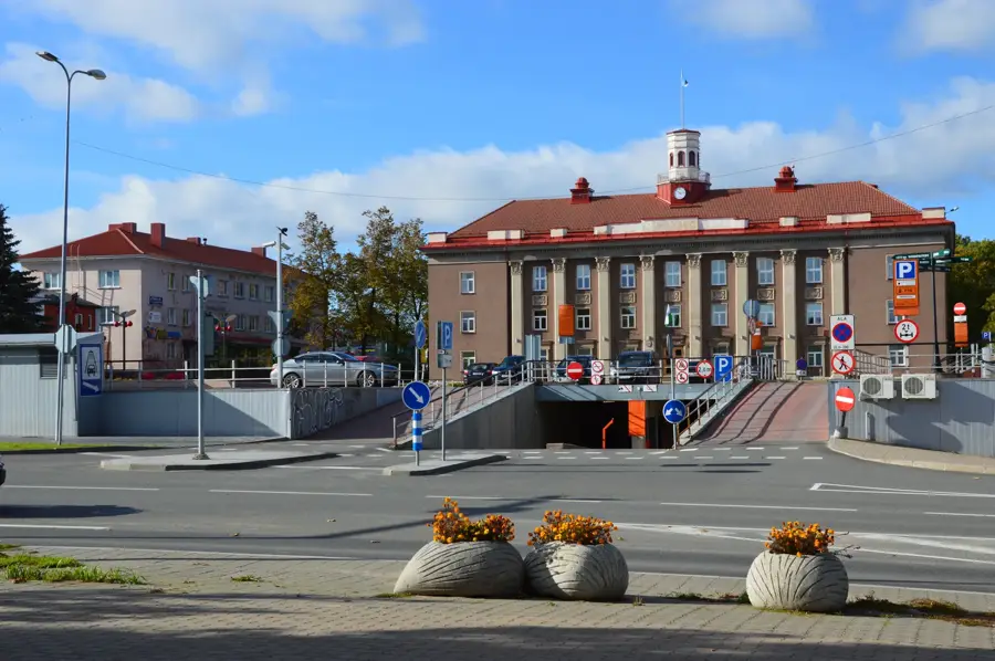
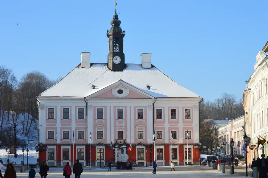
Sights nearby
Frequently asked questions
How to get to the island?
What is the main town of the island?
What are the Kaali craters?
What is Saaremaa known for?
Are there beaches on the island?
Saaremaa Island: where is it located?
Saaremaa Island: what is there to see?
Saaremaa Island: when is the best time to visit?
Saaremaa Island: why is it worth visiting?

Nearby cities