Plizio Visual Lab
Damanhur Agricultural Lands

Weather…
Water temperature…
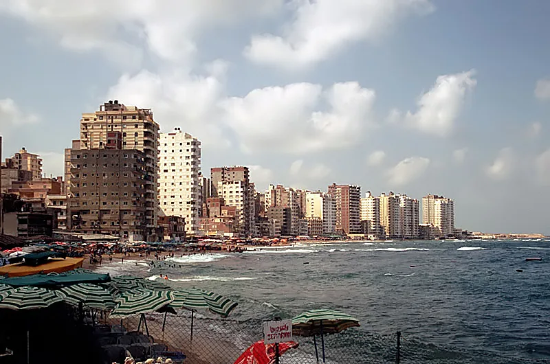
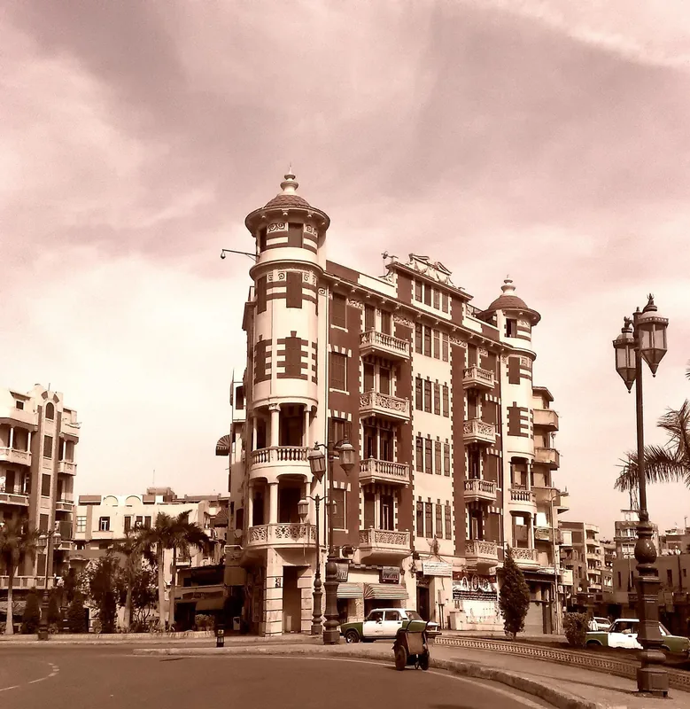
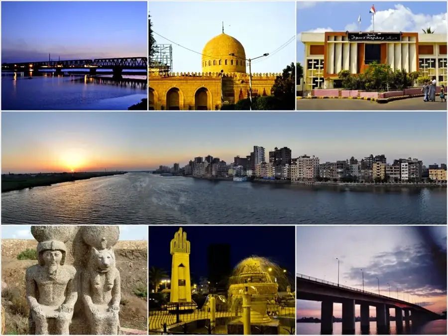
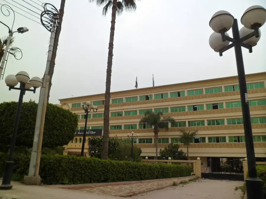
The fields of Damanhur in the Beheira Governorate represent one of the most productive agricultural areas in the western Nile Delta. Geographically, the region is characterized by deep, dark alluvial soils, perfectly suited for the large-scale cultivation of long-staple cotton, rice, and wheat. Damanhur, whose name traces back to the Ancient Egyptian 'City of Horus,' has been a center of trade and agriculture for millennia. The region's complex canal system utilizes the western Nile branches to ensure year-round irrigation, making the area one of the most vital granaries of modern Egypt. Agriculture in this zone is heavily influenced by farming traditions but increasingly integrates cooperative structures and industrial processing capacities for textiles and food. In addition to the main crops, the fields of Damanhur are also known for their fruit orchards, particularly citrus fruits. The region's economic significance is reflected in its dense population and Damanhur's central role as a logistics hub between Alexandria and Cairo. Conservation efforts today focus on protecting valuable farmland from encroaching urban sprawl.
- Location: Egypt
- Nearby: Damanhur (9 km)
Best time to visit & climate
The most pleasant time to visit is Apr, Oct, Nov.
| Jan | Feb | Mar | Apr | May | Jun | Jul | Aug | Sep | Oct | Nov | Dec | |
|---|---|---|---|---|---|---|---|---|---|---|---|---|
| Avg °C | 13 | 14 | 17 | 20 | 25 | 28 | 29 | 29 | 27 | 24 | 20 | 15 |
| Rain mm | 21 | 14 | 9 | 14 | 1 | 1 | 1 | 0 | 0 | 7 | 12 | 18 |
📋 Practical info
Geography
Facts
- Damanhur is the capital city of the Beheira Governorate.
- The region is a leader in Egyptian rice production.
- The name Damanhur originates from 'Demi-en-Hor' (City of Horus).
- The irrigation system is fed by the Rosetta branch of the Nile.
- Beheira has the largest agricultural area of all the governorates.
- Historic cotton ginning factories still characterize the cityscape today.
Explore nearby
Notable places around
Route planner — Car & Motorhome
Where do you start? We build the route here, with stops and country notes along the way.
© OpenStreetMap contributors · OpenRouteService
Sights nearby
Frequently asked questions
What is the main product of Damanhur?
When are the rice fields flooded?
How do you reach the agricultural areas of Damanhur?
Is there agricultural industry there?
What is the climate like in the Damanhur region?
Damanhur Agricultural Lands: where is it located?
Damanhur Agricultural Lands: when is the best time to visit?
Damanhur Agricultural Lands: why is it worth visiting?

Nearby cities
History & landmarks
Nature
More places