Plizio Visual Lab
Putumayo River
Weather…
Water temperature…
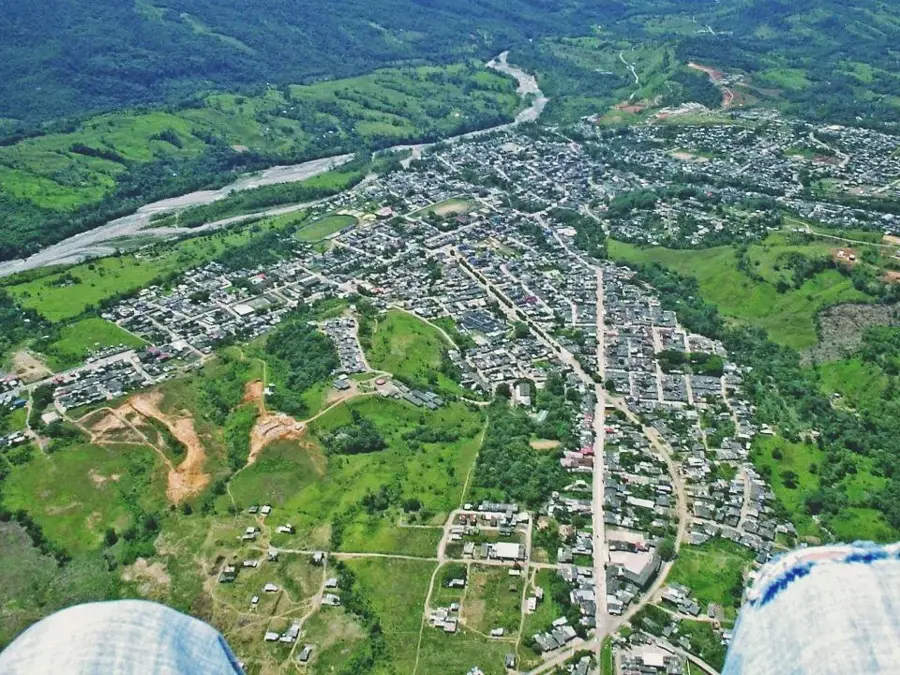
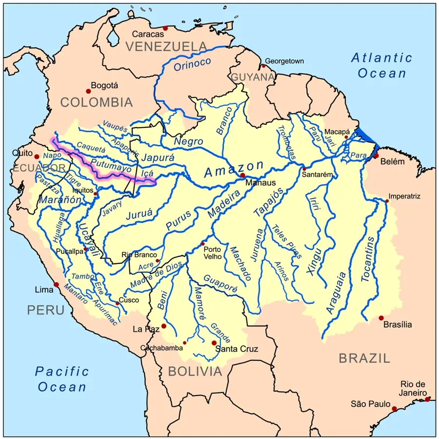
The Putumayo River is a significant waterway in southern Colombia and a major tributary of the Amazon River. For nearly 1,500 kilometers of its course, it defines much of Colombia's international borders with Ecuador and Peru. Originating in the Sibundoy Valley of the Andes, the river flows southeast through dense, primary rainforest. Historically, the Putumayo is inextricably linked to the dark era of the rubber boom at the start of the 20th century, during which indigenous populations suffered extreme exploitation. Today, the river remains a crucial transportation corridor for remote communities in the Putumayo and Amazonas departments, where road infrastructure is virtually non-existent. The river basin is exceptionally biodiverse and home to various indigenous nations who rely on the river for fishing and local trade. However, the region faces ongoing challenges from illegal coca cultivation and the resulting environmental degradation, complicating conservation and sustainable development efforts.
Best time to visit & climate
The most pleasant time to visit is Jul–Sep.
| Jan | Feb | Mar | Apr | May | Jun | Jul | Aug | Sep | Oct | Nov | Dec | |
|---|---|---|---|---|---|---|---|---|---|---|---|---|
| Avg °C | 26 | 26 | 26 | 26 | 26 | 25 | 26 | 26 | 27 | 26 | 26 | 26 |
| Rain mm | 263 | 230 | 248 | 234 | 224 | 163 | 144 | 116 | 129 | 182 | 185 | 248 |
📋 Practical info
Geography
Facts
- The Putumayo River spans a total length of approximately 1,610 kilometers.
- In Brazil, the river is known by the name Rio Içá.
- It is navigable for small vessels throughout nearly its entire course.
- Mocoa, the capital of the Putumayo department, lies near its headwaters.
- The river flows past the triple border point of Colombia, Peru, and Ecuador.
- The region was the site of the infamous Putumayo genocide during the rubber boom.
Explore nearby
Notable places around
Route planner — Car & Motorhome
Where do you start? We build the route here, with stops and country notes along the way.
© OpenStreetMap contributors · OpenRouteService
Sights nearby
Frequently asked questions
Which countries border the Putumayo?
Where does the river rise?
What is the region known for?
Was rubber an issue there?
Is the river navigable?
Putumayo River: where is it located?
Putumayo River: when is the best time to visit?
Putumayo River: why is it worth visiting?