Plizio Visual Lab
Mont Ali
Weather…
Water temperature…
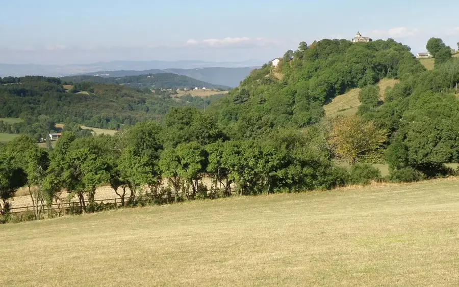
Mont Ali is a prominent elevation in the central part of the Central African Republic, rising above the surrounding plateau landscape. This mountain is geographically significant as it is situated in a region characterized by the transition from forested areas to more open savannas. The relief structure of Mont Ali consists of ancient rock formations that bear witness to the geological stability of the African continent. The vegetation on the mountain is diverse, encompassing both drought-resistant shrubs and small clusters of trees in the more humid crevices. Historically, Mont Ali served as a natural lookout for the local population and was a crucial landmark for travelers traversing the interior of the country. The surrounding area is sparsely populated, which has helped ensure that the natural flora and fauna remain largely undisturbed. Geomorphologically, the mountain shows signs of intense weathering, resulting in interesting rock formations and caves. During the rainy season, small streams emerge on its flanks, contributing to the local water supply. Mont Ali is thus not only a scenic highlight but also an important element in the hydrological cycle of the central region.
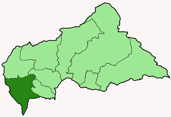
- Location: Central African Republic
- Nearby: Ippy (25 km)
Best time to visit & climate
The most pleasant time to visit is Jan, Nov, Dec.
| Jan | Feb | Mar | Apr | May | Jun | Jul | Aug | Sep | Oct | Nov | Dec | |
|---|---|---|---|---|---|---|---|---|---|---|---|---|
| Avg °C | 27 | 29 | 28 | 27 | 26 | 25 | 25 | 24 | 25 | 25 | 25 | 25 |
| Rain mm | 5 | 17 | 88 | 131 | 161 | 160 | 171 | 204 | 209 | 210 | 56 | 4 |
📋 Practical info
Geography
Facts
- Central landmark in the Central African plateau landscape.
- Geologically characterized by ancient, weathered rock formations.
- Located in a transition zone between forest and savanna.
- Home to various cave systems formed through erosion.
- Serves as a significant catchment area for local streams.
- The surrounding area is sparsely populated due to its remoteness.
Explore nearby
Notable places around
Route planner — Car & Motorhome
Where do you start? We build the route here, with stops and country notes along the way.
© OpenStreetMap contributors · OpenRouteService
Sights nearby
Frequently asked questions
What is the main attraction?
What is the terrain like?
Are there camping opportunities?
Is there an entrance fee?
What language is spoken there?
Mont Ali: where is it located?
Mont Ali: when is the best time to visit?
Mont Ali: why is it worth visiting?

Nearby cities
History & landmarks
Nature
More places