Plizio Visual Lab
Mont-Sainte-Anne (Beaupré)
ℹ️Practical info — Mont-Sainte-Anne (Beaupré)
▾
🌤 Weather — 5 days
📍 Nearby
Sights nearby
Water temperature…
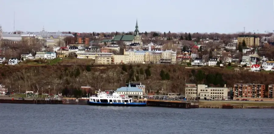
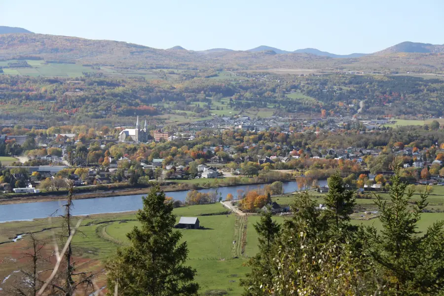
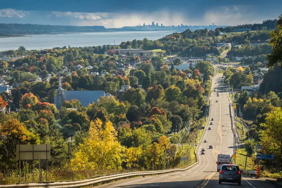
Situated on the shores of the St. Lawrence River, the town of Beaupré is internationally recognized as the home of the Mont-Sainte-Anne ski resort. The 800-meter-high mountain features more than 70 downhill runs spread across three faces, drawing skiers and snowboarders from all over North America. The southern slopes offer a particularly memorable experience, providing wide views over the ice-covered river and the Île d'Orléans during the descent. During the warmer months, Mont-Sainte-Anne transitions into a premier destination for mountain biking. The extensive network of cross-country and downhill trails is highly regarded and has hosted numerous UCI Mountain Bike World Cup events. Beyond cycling, visitors can hike through the forested trails or take the panoramic gondola for an effortless ride to the summit. At the base of the mountain, guests will find golf courses and rock climbing areas suited for various skill levels. Within the town itself, the Basilica of Sainte-Anne-de-Beaupré stands as one of North America's most significant Catholic pilgrimage sites, featuring massive Neo-Romanesque architecture. The region sustains tourism year-round, with the primary winter sports season running from December through April. Driving from downtown Québec City to Beaupré takes only 40 minutes along Route 138.
- Location: Canada
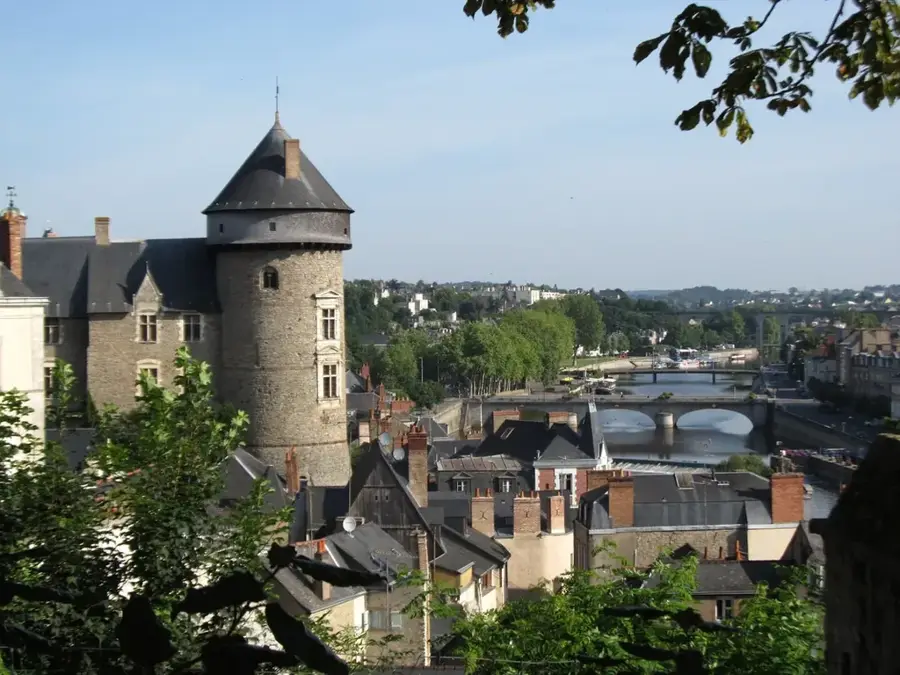
- Nearby: Lévis (34 km)
- Population: ~2.803 (2019)
Best time to visit & climate
The most pleasant time to visit is Jun–Aug.
| Jan | Feb | Mar | Apr | May | Jun | Jul | Aug | Sep | Oct | Nov | Dec | |
|---|---|---|---|---|---|---|---|---|---|---|---|---|
| Avg °C | -14 | -12 | -7 | 1 | 10 | 15 | 18 | 17 | 13 | 6 | -1 | -9 |
| Rain mm | 66 | 64 | 72 | 93 | 95 | 113 | 123 | 108 | 109 | 119 | 90 | 95 |
Geography
Facts
- Home to the Mont-Sainte-Anne ski resort
- Features over 70 ski trails across three mountain faces
- Frequent host for UCI Mountain Bike World Cup events
- Location of the Basilica of Sainte-Anne-de-Beaupré
- The mountain summit reaches 800 meters in elevation
- Provides sweeping views of the St. Lawrence River
- Located just a 40-minute drive from Québec City
- Equipped with a panoramic gondola operating year-round
Explore nearby
Notable places around
Route planner — Car & Motorhome
Where do you start? We build the route here, with stops and country notes along the way.
© OpenStreetMap contributors · OpenRouteService
Sights in the town Mont-Sainte-Anne (Beaupré) (1)
Frequently asked questions
Mont-Sainte-Anne (Beaupré): where is it located?
Mont-Sainte-Anne (Beaupré): when is the best time to visit?

Nearby cities