Plizio Visual Lab
Magdalen Islands
Weather…
Water temperature…
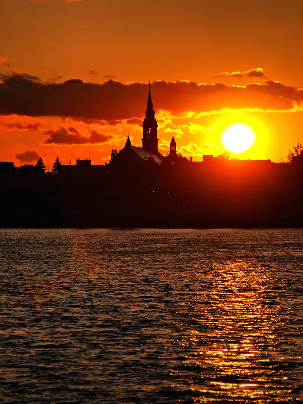
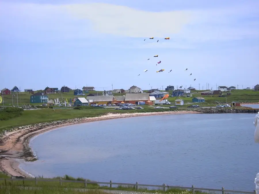
The Magdalen Islands, locally known as Îles de la Madeleine, are a small archipelago in the Gulf of St. Lawrence, belonging to the Canadian province of Quebec. The crescent-shaped group consists of eight main islands, most of which are interconnected by long, narrow sand dunes, covering a total area of about 205 square kilometers. Geologically, the islands are famous for their striking red sandstone cliffs, which have been sculpted into spectacular shapes by the persistent erosion of the surrounding sea. The islands' history is deeply intertwined with Acadian culture and fishing, particularly lobster harvesting, which remains the primary economic foundation for the approximately 12,000 residents today. The climate is maritime-influenced, featuring cooler summers and milder winters compared to the mainland, fostering a unique coastal ecosystem. The islands serve as a vital nesting ground for numerous seabird species and a significant hauling-out site for seals, especially on the pack ice in late winter. Due to their isolated geographic position, the islands have preserved a distinct cultural identity and linguistic heritage. Today, they are a sought-after destination for sustainable tourism, valued for their expansive beaches and artisanal traditions.
- Location: Canada
- Top sights: Cap-Alright Lighthouse · Auditorium Rosaire-Vigneault · Arrimage
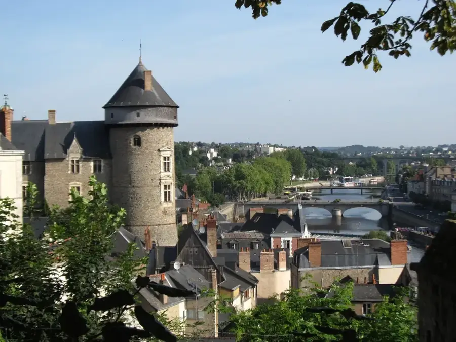
- Nearby: La Vernière (6 km)
Best time to visit & climate
The most pleasant time to visit is Jul–Sep.
| Jan | Feb | Mar | Apr | May | Jun | Jul | Aug | Sep | Oct | Nov | Dec | |
|---|---|---|---|---|---|---|---|---|---|---|---|---|
| Avg °C | -3 | -5 | -3 | 1 | 5 | 11 | 17 | 18 | 15 | 10 | 5 | 0 |
| Rain mm | 107 | 98 | 102 | 100 | 98 | 100 | 94 | 97 | 105 | 125 | 130 | 137 |
📋 Practical info
Geography
Facts
- The archipelago covers a total land area of about 205.5 square kilometers.
- Approximately 12,000 residents live permanently on the islands.
- The islands are located in the Atlantic Standard Time (AST) zone.
- The distinct red sandstone contains a high percentage of iron oxide.
- The coastline features over 300 kilometers of sandy beaches.
- Tourism contributes approximately 25% to the local economy.
Explore nearby
Notable places around
Route planner — Car & Motorhome
Where do you start? We build the route here, with stops and country notes along the way.
© OpenStreetMap contributors · OpenRouteService
Sights in the town Magdalen Islands (11)
Sights nearby
Frequently asked questions
How do you get to the Magdalen Islands?
What language is spoken there?
What are the islands known for?
Can you go windsurfing there?
When should you visit the islands?
Magdalen Islands: where is it located?
Magdalen Islands: what is there to see?
Magdalen Islands: when is the best time to visit?
Magdalen Islands: why is it worth visiting?

Nearby cities