Plizio Visual Lab
Chic-Choc Mountains
Weather…
Water temperature…
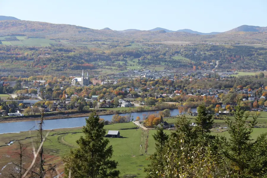
The Chic-Choc Mountains are a prominent mountain range on the Gaspé Peninsula in southeastern Quebec, forming the northernmost part of the Appalachian Mountains in Canada. Extending for about 95 kilometers parallel to the Saint Lawrence River, the range rises abruptly from the surrounding coastal lowlands. The highest peak is Mount Jacques-Cartier, reaching 1,268 meters, which is the second-highest mountain in the province of Quebec. Geologically, the range is composed of a mix of volcanic and metamorphic rocks formed during the Taconic orogeny approximately 450 million years ago. The summits feature broad, flat plateaus that host a unique alpine tundra ecosystem, the southernmost of its kind in eastern North America. This habitat is critical for the survival of the only woodland caribou herd remaining south of the Saint Lawrence River. Most of the range is protected within the Parc national de la Gaspésie, a major hub for scientific research and ecotourism. Hikers are drawn to the area for its challenging trails and remarkable vistas that often include views of the nearby gulf.
- Location: Canada
- Top sights: Mont Olivine · Chute du Diable · Mont Xalibu
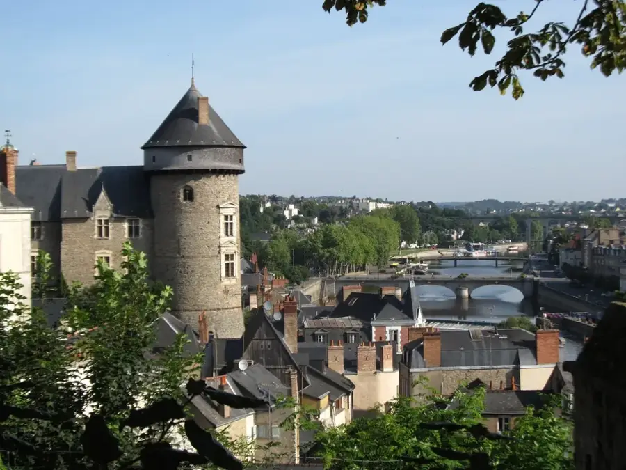
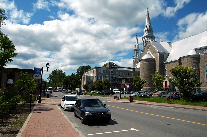
- Nearby: New Richmond (37 km)
Best time to visit & climate
The most pleasant time to visit is Jun–Aug.
| Jan | Feb | Mar | Apr | May | Jun | Jul | Aug | Sep | Oct | Nov | Dec | |
|---|---|---|---|---|---|---|---|---|---|---|---|---|
| Avg °C | -12 | -12 | -8 | -1 | 7 | 12 | 16 | 15 | 11 | 5 | -2 | -8 |
| Rain mm | 69 | 67 | 71 | 75 | 90 | 94 | 94 | 90 | 96 | 101 | 92 | 84 |
📋 Practical info
Geography
Facts
- Mount Jacques-Cartier is the highest peak at 1,268 meters.
- The mountains were formed approximately 450 million years ago.
- The range hosts the only caribou herd found south of the St. Lawrence River.
- Parc national de la Gaspésie was established in 1937.
- The name 'Chic-Choc' comes from the Mi'kmaq word meaning 'impassable barrier.'
- Snow remains on the high plateaus frequently until late July.
Explore nearby
Notable places around
Route planner — Car & Motorhome
Where do you start? We build the route here, with stops and country notes along the way.
© OpenStreetMap contributors · OpenRouteService
Sights in the town Chic-Choc Mountains (3)
Sights nearby
Frequently asked questions
Where are the Chic-Choc Mountains located?
Are there caribou there?
What is the highest mountain in the range?
Can you ski there in winter?
When do the alpine plants bloom?
Chic-Choc Mountains: where is it located?
Chic-Choc Mountains: what is there to see?
Chic-Choc Mountains: when is the best time to visit?
Chic-Choc Mountains: why is it worth visiting?

Nearby cities