Plizio Visual Lab
Lang Bay
ℹ️Practical info — Lang Bay
▾
🌤 Weather — 5 days
📍 Nearby
Sights nearby
💡 Tips
- As a small coastal community, a car is practically essential for getting around and exploring.
- Bear and wildlife sightings are common; always properly dispose of garbage and make noise on trails.
- Check the BC Ferries schedule well in advance if you're traveling from the mainland.
- The rocky beaches are well-suited for beachcombing at low tide, wear sturdy water shoes.
🍽 Food
Look for freshly caught or smoked salmon at local markets or regional eateries.
In late summer, wild blackberries grow abundantly and are featured in local baked goods.
Stop by local roadside farm stands for fresh, seasonal vegetables and fruits.
🛍 Shopping · 🧘 Quiet spots
The Sunshine Coast is home to many artisans; look for studios selling handcrafted pottery.
Visit regional farmers' markets for homemade jams, soaps, and local art.
A scenic spot for a quiet picnic with beautiful views of the Strait of Georgia.
Take a short, peaceful hike through the forest to discover this hidden waterfall.
Water temperature…
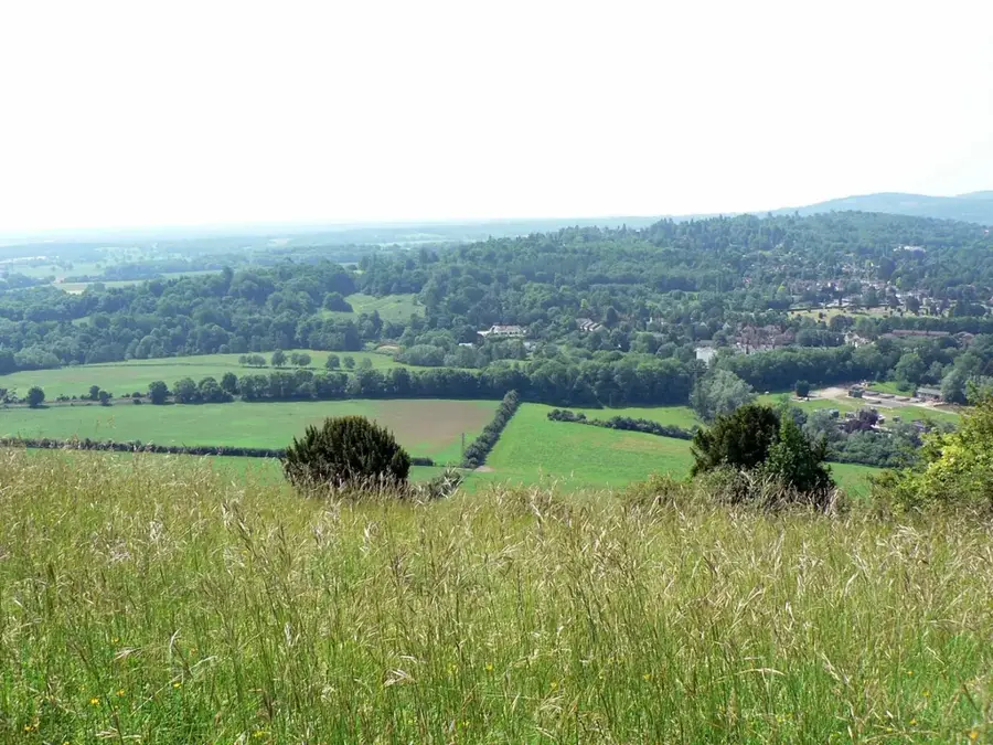
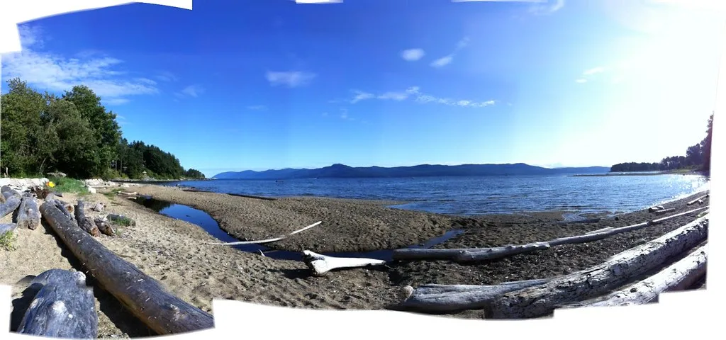
Lang Bay is a serene coastal settlement located on the Upper Sunshine Coast of British Columbia, just south of Powell River. Known for its tranquil waterfront and remarkable vistas across the Malaspina Strait, it is a haven for those seeking a slower pace of life. Mahoods Beach is a local favorite for its calm waters and beachcombing opportunities. Rose Beach has a more rugged and secluded shoreline, excellent for enjoying a quiet sunset. The Shehtekwahn East Bay Beach area is significant for its natural beauty and its deep connection to the Tla'amin Nation heritage. The surrounding environment is rich with wildlife, including bald eagles, seals, and seasonal salmon runs in the local creeks. The area serves as a fantastic base for exploring the Sunshine Coast Trail or launching a kayak to discover hidden coves along the shore. The community in Lang Bay is tight-knit, with a focus on local arts and sustainable living. Reaching Lang Bay requires a scenic ferry journey via BC Ferries, which adds to the sense of escape and adventure. It is a handy destination for nature lovers who appreciate pristine forests, rocky shores, and the unique, misty atmosphere of the Pacific Northwest.
- Location: Canada
- Top sights: Palm Beach · Mahoods Beach
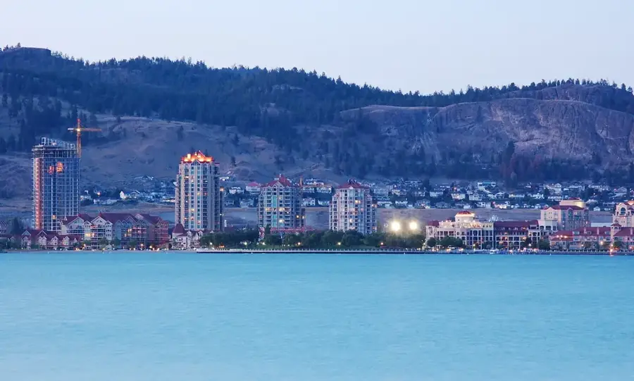
- Nearby: Parksville (29 km)
Geography
Facts
- Province: British Columbia
- Region: Sunshine Coast
- Access: Ferry required
- Activity: Kayaking and hiking
- Wildlife: Seasonal salmon runs
- Trail: Sunshine Coast Trail
- Climate: Temperate rainforest
- Heritage: Tla'amin Nation land
Explore nearby
Notable places around
Route planner — Car & Motorhome
Where do you start? We build the route here, with stops and country notes along the way.
© OpenStreetMap contributors · OpenRouteService
Sights in the town Lang Bay (2)
Frequently asked questions
Where is Lang Bay located?
What can you do in Lang Bay?
Are there beaches nearby?
What is the atmosphere like in Lang Bay?
How do you get there?
Lang Bay: where is it located?
Lang Bay: what is there to see?
Lang Bay: why is it worth visiting?

Nearby cities