Plizio Visual Lab
Mount Hillaby

Weather…
Water temperature…
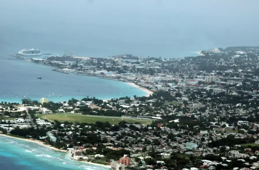
At 340 meters above sea level, Mount Hillaby is the highest peak in Barbados and a site of immense geological interest. Unlike most of the island, which is covered by a younger coral limestone cap, Mount Hillaby exposes much older sedimentary rocks, including chalk and clay, which were thrust upward from the ocean floor by tectonic activity. Located in the parish of Saint Andrew, it sits at the center of the Scotland District, a region named for its resemblance to the rugged Scottish Highlands. The summit provides a panoramic overlook of the island’s hilly interior and the dramatic Bathsheba coast along the Atlantic side. The area is characterized by lush, often mist-covered tropical vegetation and a cooler microclimate compared to the coastal lowlands. While modest in height by Caribbean standards, Mount Hillaby remains a vital landmark for understanding the island's unique emergence from the sea and features hikers a chance to explore the most geologically diverse part of Barbados.
- Location: Barbados
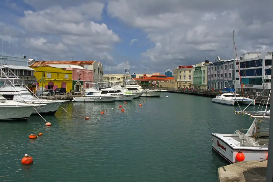
- Top sights: Hillaby, Barbados · Carrington, Barbados · Flower Forest
- Nearby: Gay's Village (4 km)
Best time to visit & climate
The most pleasant time to visit is Jan–Mar.
| Jan | Feb | Mar | Apr | May | Jun | Jul | Aug | Sep | Oct | Nov | Dec | |
|---|---|---|---|---|---|---|---|---|---|---|---|---|
| Avg °C | 26 | 26 | 26 | 27 | 28 | 28 | 28 | 28 | 28 | 28 | 28 | 27 |
| Rain mm | 34 | 19 | 19 | 28 | 52 | 72 | 74 | 95 | 98 | 132 | 107 | 49 |
📋 Practical info
Geography
Facts
- Height: 340 m
- Volcanic origin
- Latitude: 13.2° N
- Longitude: 59.6° W
- Agricultural area surrounding: 500 hectares
- Number of telecom towers: 3
Explore nearby
Notable places around
Route planner — Car & Motorhome
Where do you start? We build the route here, with stops and country notes along the way.
© OpenStreetMap contributors · OpenRouteService
Sights in the town Mount Hillaby (3)
Sights nearby
Frequently asked questions
How high is Mount Hillaby?
Is the climb difficult?
What can you see from the summit?
Are there restrooms or restaurants at the top?
Do you need a guide to visit?
Mount Hillaby: where is it located?
Mount Hillaby: what is there to see?
Mount Hillaby: when is the best time to visit?
Mount Hillaby: why is it worth visiting?

Nearby cities