Plizio Visual Lab
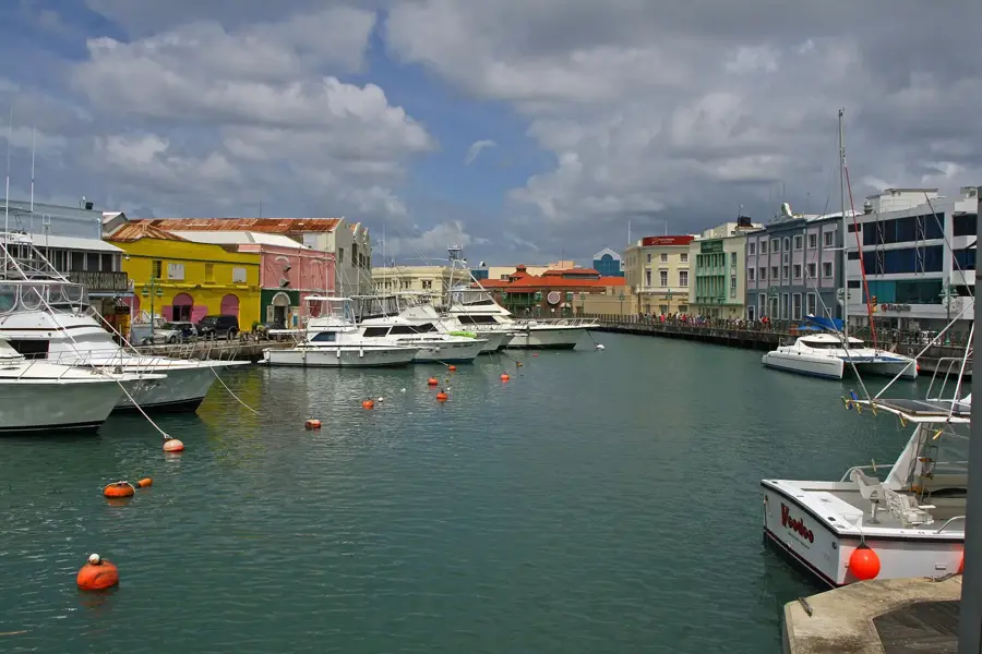
Chamberlain Bridge
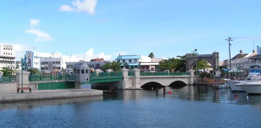
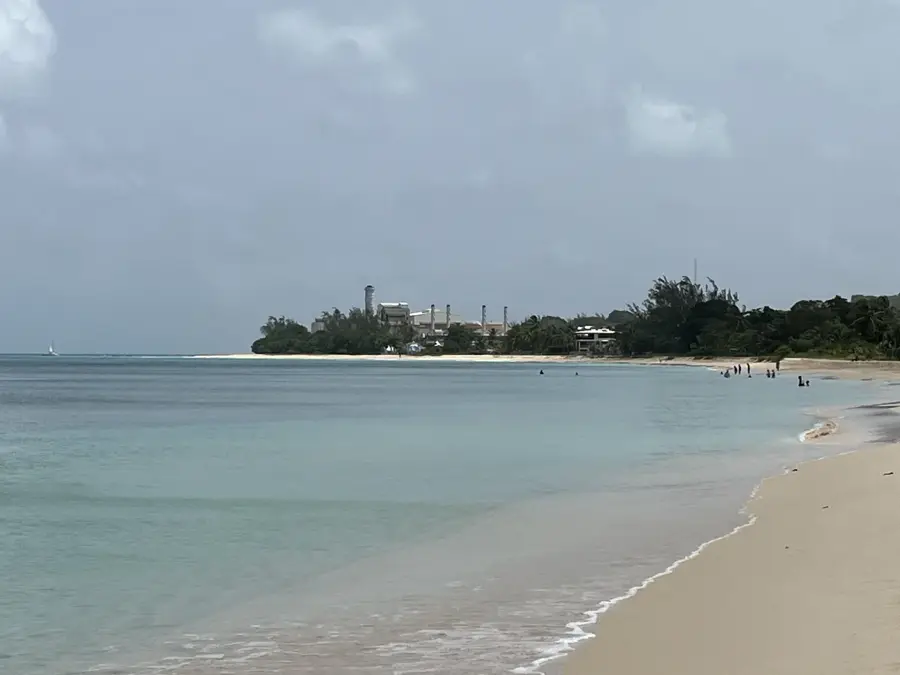
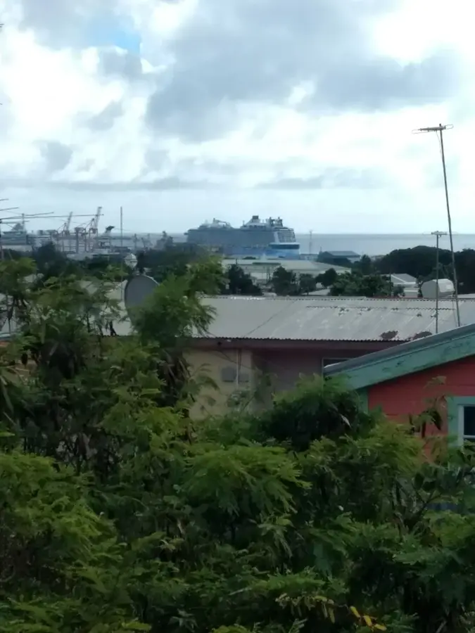
The Chamberlain Bridge is a central landmark of Bridgetown, spanning the Careenage canal that serves as the heart of the Barbadian capital. The original wooden structure from 1872 was replaced in 2006 by the current modern swing bridge. It was named after Joseph Chamberlain, the British Secretary of State for the Colonies, who was instrumental in providing economic support to the region in the late 19th century. At the southern end of the bridge stands the imposing Independence Arch, a monument commemorating Barbados' independence from Britain in 1966. The bridge functions as a key pedestrian link and features scenic views of the yachts and colorful fishing boats moored in the inner basin. Especially in the evenings, the illuminated bridge and its surrounding boardwalks become a hub of social activity, connecting the city's historic district with its commercial center.
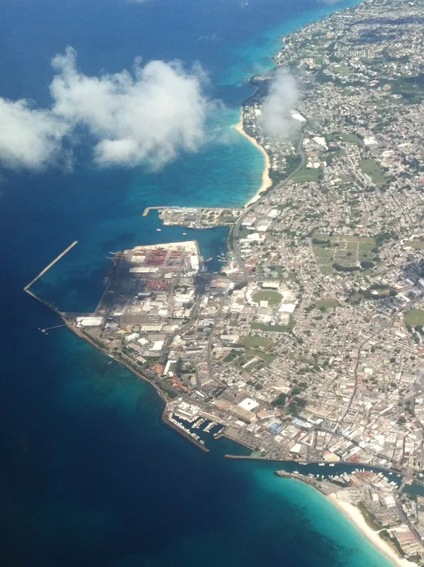
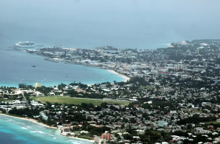
- Location: Barbados
- Top sights: Garrison Historic Area · National Heroes Square · Parliament of Barbados
- Nearby: Graeme Hall (4 km)
Best time to visit & climate
The most pleasant time to visit is Jan–Mar.
| Jan | Feb | Mar | Apr | May | Jun | Jul | Aug | Sep | Oct | Nov | Dec | |
|---|---|---|---|---|---|---|---|---|---|---|---|---|
| Avg °C | 26 | 26 | 26 | 27 | 28 | 28 | 28 | 28 | 28 | 28 | 28 | 27 |
| Rain mm | 34 | 19 | 19 | 28 | 52 | 72 | 74 | 95 | 98 | 132 | 107 | 49 |
📋 Practical info
Geography
Facts
- Original 1872
- New structure 2006
- Steel arch bridge
- Length: 45 m
- Pedestrian and vehicle traffic
- Connects city center to port
Explore nearby
Notable places around
Route planner — Car & Motorhome
Where do you start? We build the route here, with stops and country notes along the way.
© OpenStreetMap contributors · OpenRouteService
Sights in the town Chamberlain Bridge (3)
Sights nearby
Frequently asked questions
Where is the Chamberlain Bridge located?
Is it a swing bridge?
Is the Independence Arch there?
Can you walk on it?
What can you see from the bridge?
Chamberlain Bridge: where is it located?
Chamberlain Bridge: what is there to see?
Chamberlain Bridge: when is the best time to visit?
Chamberlain Bridge: why is it worth visiting?

Nearby cities